116 Murnin Rd Lake Ariel, PA 18436
Estimated Value: $290,000 - $422,000
3
Beds
1
Bath
1,496
Sq Ft
$233/Sq Ft
Est. Value
About This Home
This home is located at 116 Murnin Rd, Lake Ariel, PA 18436 and is currently estimated at $349,096, approximately $233 per square foot. 116 Murnin Rd is a home located in Wayne County with nearby schools including Western Wayne High School and Canaan Christian Academy.
Ownership History
Date
Name
Owned For
Owner Type
Purchase Details
Closed on
Oct 6, 2017
Sold by
Formella Krzystof and Formella Dorota
Bought by
Emerick Cassaundra
Current Estimated Value
Home Financials for this Owner
Home Financials are based on the most recent Mortgage that was taken out on this home.
Original Mortgage
$64,837
Outstanding Balance
$35,281
Interest Rate
3.86%
Mortgage Type
New Conventional
Estimated Equity
$313,815
Purchase Details
Closed on
Sep 25, 2017
Sold by
Stevens Scott L and Stevens Donagale R
Bought by
Duff Michael A and Duff Elizabeth A
Home Financials for this Owner
Home Financials are based on the most recent Mortgage that was taken out on this home.
Original Mortgage
$64,837
Outstanding Balance
$35,281
Interest Rate
3.86%
Mortgage Type
New Conventional
Estimated Equity
$313,815
Create a Home Valuation Report for This Property
The Home Valuation Report is an in-depth analysis detailing your home's value as well as a comparison with similar homes in the area
Home Values in the Area
Average Home Value in this Area
Purchase History
| Date | Buyer | Sale Price | Title Company |
|---|---|---|---|
| Emerick Cassaundra | $68,250 | None Available | |
| Duff Michael A | $157,000 | None Available |
Source: Public Records
Mortgage History
| Date | Status | Borrower | Loan Amount |
|---|---|---|---|
| Open | Emerick Cassaundra | $64,837 | |
| Open | Duff Michael A | $117,750 |
Source: Public Records
Tax History Compared to Growth
Tax History
| Year | Tax Paid | Tax Assessment Tax Assessment Total Assessment is a certain percentage of the fair market value that is determined by local assessors to be the total taxable value of land and additions on the property. | Land | Improvement |
|---|---|---|---|---|
| 2025 | $3,429 | $211,900 | $86,700 | $125,200 |
| 2024 | $3,260 | $211,900 | $86,700 | $125,200 |
| 2023 | $4,616 | $211,900 | $86,700 | $125,200 |
| 2022 | $3,509 | $148,900 | $47,100 | $101,800 |
| 2021 | $3,421 | $148,900 | $47,100 | $101,800 |
| 2020 | $3,383 | $148,900 | $47,100 | $101,800 |
| 2019 | $3,197 | $148,900 | $47,100 | $101,800 |
| 2018 | $3,178 | $148,900 | $47,100 | $101,800 |
| 2017 | $649 | $148,900 | $47,100 | $101,800 |
| 2016 | $3,078 | $148,900 | $47,100 | $101,800 |
| 2014 | -- | $148,900 | $47,100 | $101,800 |
Source: Public Records
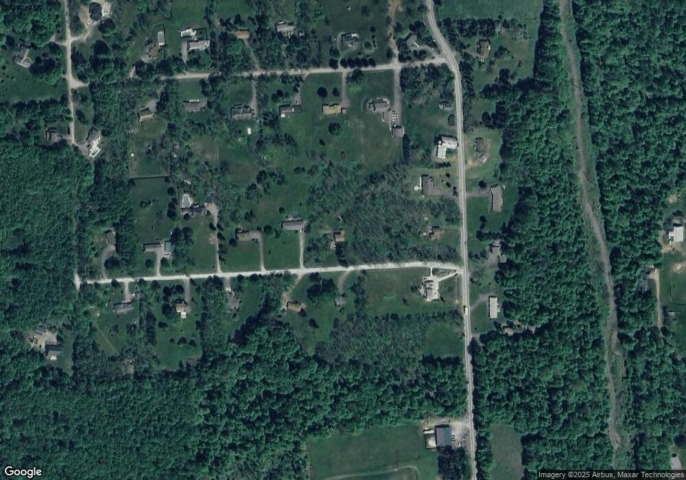
Map
Nearby Homes
- 0 Easton Turnpike Unit 755405
- 0 Easton Turnpike Unit PM-131115
- 1003 Lake Ariel Hwy
- 0 Fernwood Rd Unit 24188036
- 1838 Lake Ariel Hwy
- 1874 Windemere Ln
- LOT 210 Polaris Way
- 68 Underwood Ln
- 198 Lake Rd
- 278 N Gate
- 2 Commanche Cir
- 0 Maplewood Rd Unit GSBSC254402
- 0 Maplewood Rd Unit PWBPW251122
- 1325 Lake Ariel Hwy
- 182 Bob Black Rd
- 921 Forest Ln
- 45 Forest Ln
- 297 E Shore Dr
- 11 Meadow View Dr
- 58 Forest Ln
- 116 Murnin Rd
- 122 Murnin Dr
- 117 Murnin Rd
- Lot 28 Murnin Rd
- 28 Murnin Rd
- 103 Murnin Dr
- 103 Murnin Dr
- 132 Murnin Dr
- 132 Murnin Rd
- 123 Murnin Dr
- 1025 Easton Turnpike
- 1029 Easton Turnpike
- 103 Murnin Rd
- 135 Murnin Rd
- 117 Father John Dr
- 109 Father John Dr
- 123 Father John Dr
- 138 Murnin Rd
- 133 Father John Dr
- 1020 Easton Turnpike