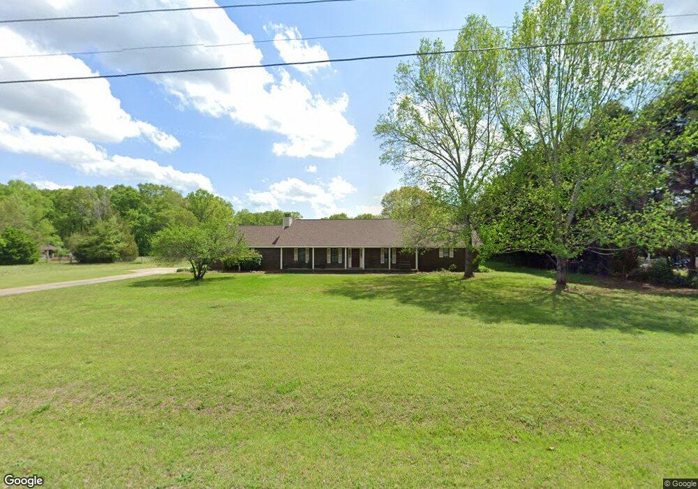
116 N Tamie Cir Kathleen, GA 31047
Estimated Value: $293,000 - $383,379
3
Beds
3
Baths
2,695
Sq Ft
$130/Sq Ft
Est. Value
About This Home
This home is located at 116 N Tamie Cir, Kathleen, GA 31047 and is currently estimated at $350,345, approximately $129 per square foot. 116 N Tamie Cir is a home located in Houston County with nearby schools including Hilltop Elementary School, Bonaire Middle School, and Veterans High School.
Ownership History
Date
Name
Owned For
Owner Type
Purchase Details
Closed on
Feb 4, 2000
Sold by
Vollmer Allen B and Jeanne M*
Bought by
Davis Gregory E and Cynthia D*
Current Estimated Value
Purchase Details
Closed on
Oct 9, 1987
Sold by
Harrison Daral L and Harrison Karen R
Bought by
Vollmer Allen B and Jeanne M*
Purchase Details
Closed on
Apr 4, 1986
Sold by
Percival Eugene C and Viola J*
Bought by
Harrison Daral L and Harrison Karen R
Purchase Details
Closed on
May 21, 1983
Sold by
Schrock Charles W and Marion K*
Bought by
Percival Eugene C and Viola J*
Purchase Details
Closed on
Oct 17, 1979
Sold by
F S & W Inc
Bought by
Schrock Charles W and Marion K*
Create a Home Valuation Report for This Property
The Home Valuation Report is an in-depth analysis detailing your home's value as well as a comparison with similar homes in the area
Home Values in the Area
Average Home Value in this Area
Purchase History
| Date | Buyer | Sale Price | Title Company |
|---|---|---|---|
| Davis Gregory E | $145,000 | -- | |
| Vollmer Allen B | $106,000 | -- | |
| Harrison Daral L | $12,500 | -- | |
| Percival Eugene C | $9,000 | -- | |
| Schrock Charles W | $7,600 | -- |
Source: Public Records
Tax History Compared to Growth
Tax History
| Year | Tax Paid | Tax Assessment Tax Assessment Total Assessment is a certain percentage of the fair market value that is determined by local assessors to be the total taxable value of land and additions on the property. | Land | Improvement |
|---|---|---|---|---|
| 2024 | $2,744 | $116,720 | $35,920 | $80,800 |
| 2023 | $2,395 | $101,080 | $35,520 | $65,560 |
| 2022 | $2,370 | $100,040 | $35,520 | $64,520 |
| 2021 | $2,055 | $86,600 | $30,000 | $56,600 |
| 2020 | $1,777 | $74,800 | $21,280 | $53,520 |
| 2019 | $1,777 | $74,800 | $21,280 | $53,520 |
| 2018 | $1,777 | $74,800 | $21,280 | $53,520 |
| 2017 | $1,779 | $74,800 | $21,280 | $53,520 |
| 2016 | $1,711 | $71,920 | $21,280 | $50,640 |
| 2015 | $1,714 | $71,920 | $21,280 | $50,640 |
| 2014 | -- | $71,920 | $21,280 | $50,640 |
| 2013 | -- | $71,920 | $21,280 | $50,640 |
Source: Public Records
Map
Nearby Homes
- 2006 Melrose Place
- 119 Richfield Cir
- 510 Mt Zion Rd
- 510 Mount Zion Rd
- 231 Grove Ln
- 108 Cloverdale Dr
- 105 Selwyn Ct
- 101 Pond Dr
- 135 Pond Dr
- 216 Hearthwood Dr
- 204 Weeping Moss Way
- 102 Haywood Dr
- 105 Cabin Cove Dr
- 323 Haywood Dr
- 410 Woodlands Blvd
- 301 Downing Cir
- 88 Mallard Pointe
- 527 Bristleleaf Path
- 117 Black Birch Ln
- 115 Black Birch Ln
- 114 N Tamie Cir
- 118 N Tamie Cir
- 121 N Tamie Cir
- 123 N Tamie Cir
- 119 N Tamie Cir
- N N Tamie Cir
- 112 N Tamie Cir
- 125 N Tamie Cir
- 127 N Tamie Cir
- 110 N Tamie Cir
- 209 Castlebury Cir
- 211 Castlebury Cir
- 115 N Tamie Cir
- 207 Castlebury Cir
- 213 Castlebury Cir
- 129 N Tamie Cir
- 122 N Tamie Cir
- 122 Southwind Dr
- 215 Castlebury Cir
- 205 Castlebury Cir