Estimated Value: $972,000 - $1,028,000
4
Beds
4
Baths
2,525
Sq Ft
$392/Sq Ft
Est. Value
About This Home
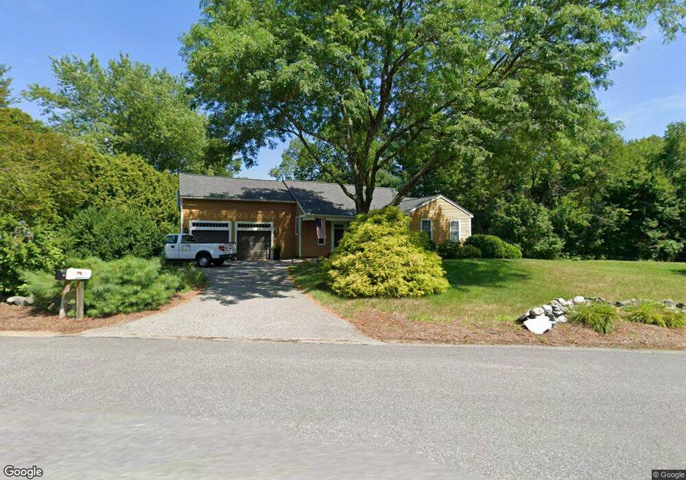
This home is located at 116 Nonset Path, Acton, MA 01720 and is currently estimated at $990,244, approximately $392 per square foot. 116 Nonset Path is a home located in Middlesex County with nearby schools including Acton-Boxborough Regional High School and Oak Meadow Montessori School.
Ownership History
Date
Name
Owned For
Owner Type
Purchase Details
Closed on
Aug 31, 1992
Sold by
Weatherbee Robert C and Weatherbee Mary M
Bought by
Redden Hugh E and Redden Linda L
Current Estimated Value
Home Financials for this Owner
Home Financials are based on the most recent Mortgage that was taken out on this home.
Original Mortgage
$40,000
Interest Rate
8.09%
Mortgage Type
Purchase Money Mortgage
Create a Home Valuation Report for This Property
The Home Valuation Report is an in-depth analysis detailing your home's value as well as a comparison with similar homes in the area
Home Values in the Area
Average Home Value in this Area
Purchase History
| Date | Buyer | Sale Price | Title Company |
|---|---|---|---|
| Redden Hugh E | $195,000 | -- | |
| Redden Hugh E | $195,000 | -- |
Source: Public Records
Mortgage History
| Date | Status | Borrower | Loan Amount |
|---|---|---|---|
| Closed | Redden Hugh E | $181,000 | |
| Closed | Redden Hugh E | $40,000 | |
| Previous Owner | Redden Hugh E | $7,000 |
Source: Public Records
Tax History
| Year | Tax Paid | Tax Assessment Tax Assessment Total Assessment is a certain percentage of the fair market value that is determined by local assessors to be the total taxable value of land and additions on the property. | Land | Improvement |
|---|---|---|---|---|
| 2025 | $15,018 | $875,700 | $340,800 | $534,900 |
| 2024 | $15,163 | $909,600 | $340,800 | $568,800 |
| 2023 | $14,262 | $812,200 | $309,800 | $502,400 |
| 2022 | $13,070 | $672,000 | $269,200 | $402,800 |
| 2021 | $13,022 | $643,700 | $249,200 | $394,500 |
| 2020 | $12,683 | $659,200 | $249,200 | $410,000 |
| 2019 | $12,682 | $654,700 | $249,200 | $405,500 |
| 2018 | $11,430 | $589,800 | $249,200 | $340,600 |
| 2017 | $11,129 | $583,900 | $249,200 | $334,700 |
| 2016 | $10,788 | $561,000 | $249,200 | $311,800 |
| 2015 | $10,447 | $548,400 | $249,200 | $299,200 |
| 2014 | $10,240 | $526,500 | $249,200 | $277,300 |
Source: Public Records
Map
Nearby Homes
- 405 Great Elm Way
- 5 Samantha Way Unit 5
- 262 Brown Bear Crossing Unit 262
- 11 Walnut St
- 237 Brown Bear Crossing Unit 237
- 238 Brown Bear Crossing Unit 238
- 420 Great Rd Unit B3
- 390 Great Rd Unit B16
- 388 Great Rd Unit A9
- 388 Great Rd Unit B14
- 386 Great Rd Unit A8
- 159 Skyline Dr Unit 159
- 380A Great Rd Unit 301
- 380 Great Rd Unit B301
- 18 Mcintosh Ln
- 927 Main St
- 11 Davis Rd Unit A5
- 15 Davis Rd Unit B-8
- 87 Canterbury Hill Rd
- 875 Acton St
- 118 Nonset Path
- 114 Nonset Path
- 117 Nonset Path
- 115 Nonset Path
- 115 Nonset Path Unit 115
- 119 Nonset Path
- 112 Nonset Path
- 19 Henley Rd
- 122 Nonset Path
- 121 Nonset Path
- 113 Nonset Path
- 21 Henley Rd
- 110 Nonset Path
- 124 Nonset Path
- 124 Nonset Path Unit 1
- 126 Nonset Path
- 17 Henley Rd
- 111 Nonset Path
- 25 Henley Rd
- 128 Nonset Path
Your Personal Tour Guide
Ask me questions while you tour the home.