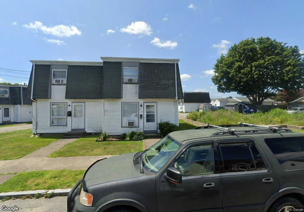
116 Osborne St New Bedford, MA 02740
The South End NeighborhoodEstimated Value: $182,000 - $537,000
2
Beds
1
Bath
864
Sq Ft
$379/Sq Ft
Est. Value
About This Home
This home is located at 116 Osborne St, New Bedford, MA 02740 and is currently estimated at $327,189, approximately $378 per square foot. 116 Osborne St is a home located in Bristol County with nearby schools including John B. DeValles Elementary School, Roosevelt Middle School, and New Bedford High School.
Create a Home Valuation Report for This Property
The Home Valuation Report is an in-depth analysis detailing your home's value as well as a comparison with similar homes in the area
Home Values in the Area
Average Home Value in this Area
Tax History Compared to Growth
Tax History
| Year | Tax Paid | Tax Assessment Tax Assessment Total Assessment is a certain percentage of the fair market value that is determined by local assessors to be the total taxable value of land and additions on the property. | Land | Improvement |
|---|---|---|---|---|
| 2025 | $439 | $38,800 | $0 | $38,800 |
| 2024 | $113 | $9,400 | $0 | $9,400 |
| 2023 | $603 | $42,200 | $0 | $42,200 |
| 2022 | $656 | $42,200 | $0 | $42,200 |
| 2021 | $658 | $42,200 | $0 | $42,200 |
| 2020 | $682 | $42,200 | $0 | $42,200 |
| 2019 | $695 | $42,200 | $0 | $42,200 |
| 2018 | $702 | $42,200 | $0 | $42,200 |
| 2017 | $704 | $42,200 | $0 | $42,200 |
| 2016 | $696 | $42,200 | $0 | $42,200 |
| 2015 | $664 | $42,200 | $0 | $42,200 |
| 2014 | $640 | $42,200 | $0 | $42,200 |
Source: Public Records
Map
Nearby Homes
- 114 Osborne St Unit 114-116
- 114 Osborne St
- 114 Osborne St Unit H3-G2
- 112 Osborne St
- 120 Osborne St
- 120 Osborne St Unit E2
- 118 Osborne St
- 121 Norwell St
- 1549 Cove Rd Unit P-2
- 1549 Cove Rd
- 1549 Cove Rd Unit 1549
- 1549 Cove Rd Unit P2
- 123 Norwell St
- 1547 Cove Rd Unit 2
- 1547 Cove Rd
- 1545 Cove Rd
- 1543 Cove Rd
- 1551 Cove Rd
- 1543 Cove Rd
- 119 Osborne St