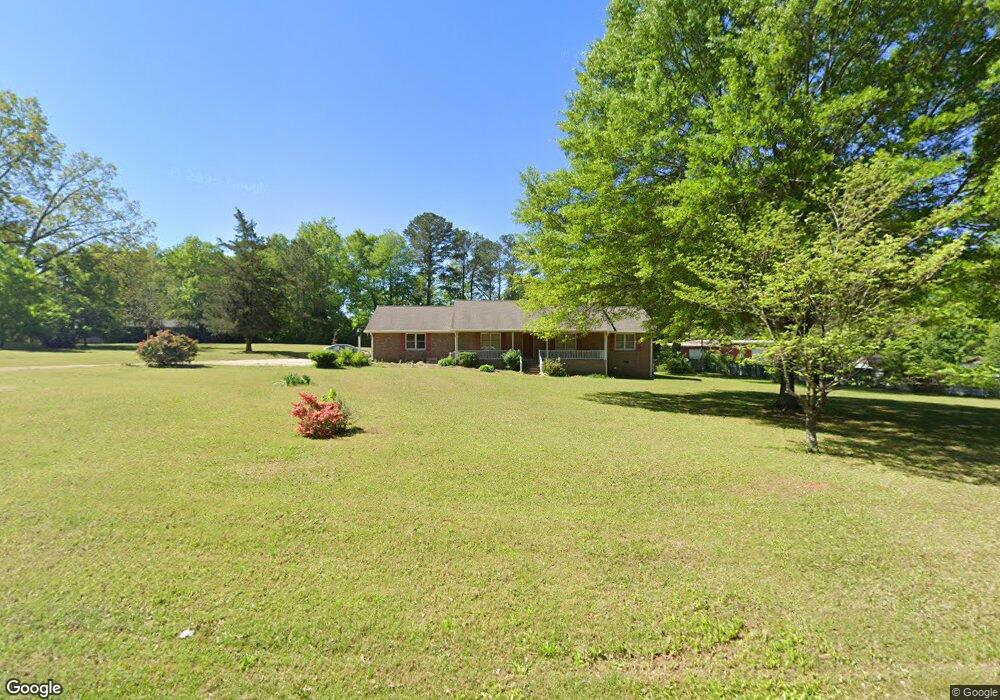
116 Pleasant Ridge Rd Carrollton, GA 30117
Abilene NeighborhoodEstimated Value: $277,038 - $338,000
3
Beds
2
Baths
1,633
Sq Ft
$183/Sq Ft
Est. Value
About This Home
This home is located at 116 Pleasant Ridge Rd, Carrollton, GA 30117 and is currently estimated at $298,510, approximately $182 per square foot. 116 Pleasant Ridge Rd is a home located in Carroll County with nearby schools including Sharp Creek Elementary School, Central Middle School, and Central High School.
Ownership History
Date
Name
Owned For
Owner Type
Purchase Details
Closed on
Jan 7, 2023
Sold by
Yates Deborah F
Bought by
Yates Deborah F and Yates Dennis C
Current Estimated Value
Purchase Details
Closed on
Jan 20, 2009
Sold by
Durant Deborah F
Bought by
Yates Deborah F
Home Financials for this Owner
Home Financials are based on the most recent Mortgage that was taken out on this home.
Original Mortgage
$106,285
Interest Rate
5.23%
Mortgage Type
New Conventional
Purchase Details
Closed on
Apr 16, 1993
Bought by
Durant Deborah F
Create a Home Valuation Report for This Property
The Home Valuation Report is an in-depth analysis detailing your home's value as well as a comparison with similar homes in the area
Home Values in the Area
Average Home Value in this Area
Purchase History
| Date | Buyer | Sale Price | Title Company |
|---|---|---|---|
| Yates Deborah F | -- | -- | |
| Yates Deborah F | $154,000 | -- | |
| Durant Deborah F | $75,000 | -- |
Source: Public Records
Mortgage History
| Date | Status | Borrower | Loan Amount |
|---|---|---|---|
| Previous Owner | Yates Deborah F | $106,285 |
Source: Public Records
Tax History Compared to Growth
Tax History
| Year | Tax Paid | Tax Assessment Tax Assessment Total Assessment is a certain percentage of the fair market value that is determined by local assessors to be the total taxable value of land and additions on the property. | Land | Improvement |
|---|---|---|---|---|
| 2024 | $224 | $107,323 | $10,264 | $97,059 |
| 2023 | $224 | $96,609 | $8,212 | $88,397 |
| 2022 | $1,565 | $76,435 | $5,474 | $70,961 |
| 2021 | $1,405 | $65,401 | $4,380 | $61,021 |
| 2020 | $1,277 | $58,250 | $3,981 | $54,269 |
| 2019 | $1,199 | $53,422 | $3,981 | $49,441 |
| 2018 | $1,099 | $47,056 | $3,721 | $43,335 |
| 2017 | $1,102 | $47,056 | $3,721 | $43,335 |
| 2016 | $1,103 | $47,056 | $3,721 | $43,335 |
| 2015 | $1,068 | $42,176 | $6,473 | $35,704 |
| 2014 | $1,072 | $42,177 | $6,473 | $35,704 |
Source: Public Records
Map
Nearby Homes
- 85 Mary Ln
- 70 Henson Cir
- 0 Henson Cir Unit 10584639
- 0 Henson Cir Unit 7632920
- 0 Center Point Rd Unit TR 3 10274074
- 0 Center Point Rd Unit 7361099
- 70 W Meadowcliff Cir
- 114 Kyle Way
- 300 Georgia 113
- 345 Henson Cir
- 219 Candlewood Dr
- 110 Sharp Dr
- 138 Zachary Dr
- 281 Northwinds Blvd
- 281 Northwinds Blvd Unit B3
- 281 Northwinds Blvd Unit D3
- 1015 Mote Rd
- 125 Springwood Dr
- 101 Deer Park
- 524 Old Bremen Rd