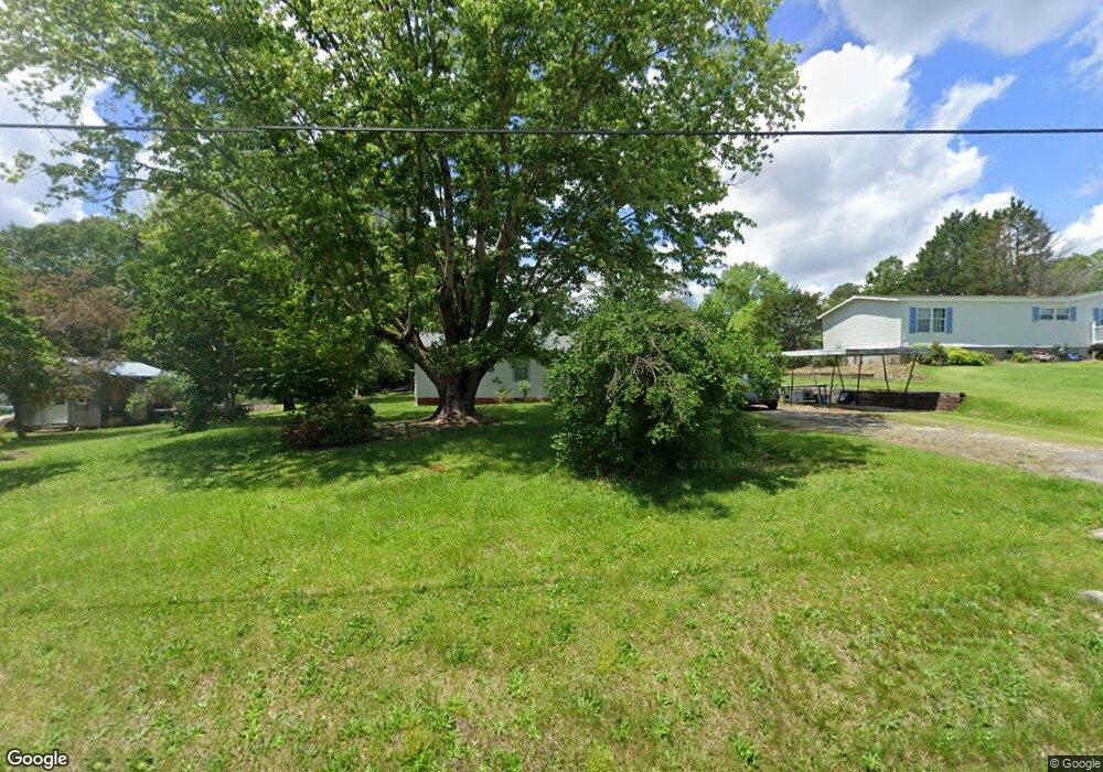
116 Poinsett Cir Easley, SC 29640
Estimated Value: $129,000 - $243,000
3
Beds
2
Baths
1,428
Sq Ft
$137/Sq Ft
Est. Value
About This Home
This home is located at 116 Poinsett Cir, Easley, SC 29640 and is currently estimated at $195,527, approximately $136 per square foot. 116 Poinsett Cir is a home located in Pickens County with nearby schools including Pickens Elementary School, Pickens Middle School, and Pickens High School.
Ownership History
Date
Name
Owned For
Owner Type
Purchase Details
Closed on
Sep 13, 2018
Sold by
Lance Gary Ray
Bought by
Ray Lance Gary and Ray Lance Karen
Current Estimated Value
Purchase Details
Closed on
Mar 15, 2018
Sold by
Lance James Leroy and Lance Justin Charles
Bought by
Lance Gary Ray
Purchase Details
Closed on
Feb 26, 2018
Sold by
Lance James Leroy
Bought by
Lance James Leroy and Lance Justin Charles
Purchase Details
Closed on
Sep 13, 2005
Sold by
Lance Leroy and Lance Dorothy P
Bought by
Lance Leroy and Lance Dorothy P
Create a Home Valuation Report for This Property
The Home Valuation Report is an in-depth analysis detailing your home's value as well as a comparison with similar homes in the area
Home Values in the Area
Average Home Value in this Area
Purchase History
| Date | Buyer | Sale Price | Title Company |
|---|---|---|---|
| Ray Lance Gary | -- | None Available | |
| Lance Gary Ray | $37,200 | None Available | |
| Lance James Leroy | -- | None Available | |
| Lance Leroy | -- | None Available |
Source: Public Records
Tax History Compared to Growth
Tax History
| Year | Tax Paid | Tax Assessment Tax Assessment Total Assessment is a certain percentage of the fair market value that is determined by local assessors to be the total taxable value of land and additions on the property. | Land | Improvement |
|---|---|---|---|---|
| 2024 | $1,378 | $3,520 | $560 | $2,960 |
| 2023 | $423 | $3,520 | $560 | $2,960 |
| 2022 | $0 | $3,520 | $560 | $2,960 |
| 2021 | $500 | $3,520 | $560 | $2,960 |
| 2020 | $500 | $3,516 | $560 | $2,956 |
| 2019 | $0 | $3,520 | $560 | $2,960 |
| 2018 | $449 | $4,730 | $840 | $3,890 |
| 2017 | $1,171 | $4,730 | $840 | $3,890 |
| 2015 | $215 | $3,150 | $0 | $0 |
| 2008 | -- | $3,460 | $520 | $2,940 |
Source: Public Records
Map
Nearby Homes
- 316 Church Rd
- 102 Westwood Cir
- 2156 Gentry Memorial Hwy
- 306 Rice Rd
- 2224 Gentry Memorial Hwy
- 122 Harvest Dr
- 126 Edinburg Rd
- 281 Loch Lomond Dr
- 107 Bentwood Ln
- 105 Bentwood Ln
- 145 Margaret St
- 0 Griffin Mill Rd Unit Tract C
- 0 Griffin Mill Rd Unit 20294126
- 326 Chesapeake Trail
- 500 Griffin Mill Rd
- 1121 Ireland Rd
- 409 Mulberry Rd
- 407 Mulberry Rd
- 1057 Country Club Rd
- 1057 Country Club Rd
- 702 Elljean Rd
- 119 Poinsett Cir
- 722 Elljean Rd
- 132 Poinsett Cir
- 226 Bagwell St
- 800 Elljean Rd
- 715 Elljean Rd
- 219 Poinsett Cir
- 237 Bagwell St
- 205 Poinsett Cir
- 808 Elljean Rd
- 622 Elljean Rd
- 223 Bagwell St
- 629 Elljean Rd
- 167 Poinsett Cir
- 219 Bagwell St
- 614 Elljean Rd
- 198 Poinsett Cir
- 164 Poinsett Cir
- 209 Bagwell St