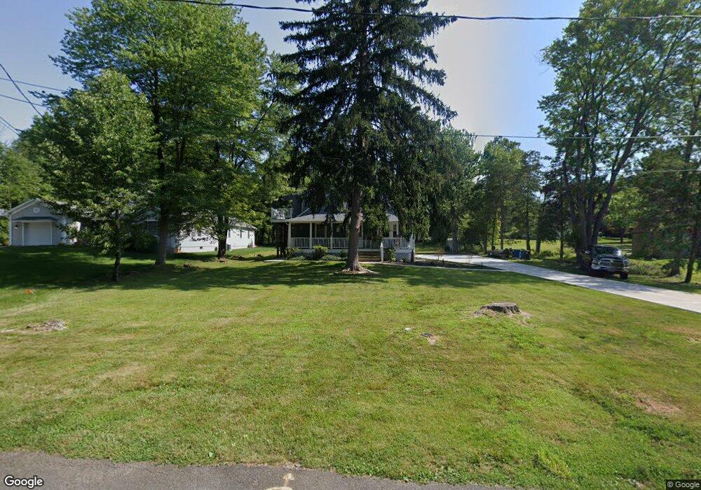
116 Robbins Rd Unit 2 Branchburg, NJ 08876
Branchburg Township NeighborhoodEstimated Value: $667,000 - $802,704
--
Bed
2
Baths
2,396
Sq Ft
$307/Sq Ft
Est. Value
About This Home
This home is located at 116 Robbins Rd Unit 2, Branchburg, NJ 08876 and is currently estimated at $735,176, approximately $306 per square foot. 116 Robbins Rd Unit 2 is a home located in Somerset County with nearby schools including Whiton Elementary School, Stony Brook School, and Branchburg Central Middle School.
Ownership History
Date
Name
Owned For
Owner Type
Purchase Details
Closed on
Mar 3, 2022
Sold by
Daniel Scirica
Bought by
Iliopoulos Anna M
Current Estimated Value
Home Financials for this Owner
Home Financials are based on the most recent Mortgage that was taken out on this home.
Original Mortgage
$446,250
Outstanding Balance
$416,941
Interest Rate
3.92%
Mortgage Type
New Conventional
Estimated Equity
$318,235
Purchase Details
Closed on
Sep 29, 2021
Sold by
Edmunds Paul J and Last Will & Testament Of Karol
Bought by
Scirica Daniel
Home Financials for this Owner
Home Financials are based on the most recent Mortgage that was taken out on this home.
Original Mortgage
$332,000
Interest Rate
2.99%
Mortgage Type
New Conventional
Create a Home Valuation Report for This Property
The Home Valuation Report is an in-depth analysis detailing your home's value as well as a comparison with similar homes in the area
Home Values in the Area
Average Home Value in this Area
Purchase History
| Date | Buyer | Sale Price | Title Company |
|---|---|---|---|
| Iliopoulos Anna M | $610,000 | Stone Thomas P | |
| Scirica Daniel | $415,000 | Westcor Land Title Ins Co |
Source: Public Records
Mortgage History
| Date | Status | Borrower | Loan Amount |
|---|---|---|---|
| Open | Iliopoulos Anna M | $446,250 | |
| Previous Owner | Scirica Daniel | $332,000 |
Source: Public Records
Tax History Compared to Growth
Tax History
| Year | Tax Paid | Tax Assessment Tax Assessment Total Assessment is a certain percentage of the fair market value that is determined by local assessors to be the total taxable value of land and additions on the property. | Land | Improvement |
|---|---|---|---|---|
| 2025 | $10,710 | $642,800 | $162,200 | $480,600 |
| 2024 | $10,710 | $593,700 | $162,200 | $431,500 |
| 2023 | $10,534 | $563,000 | $162,200 | $400,800 |
| 2022 | $10,231 | $519,600 | $162,200 | $357,400 |
| 2021 | $8,712 | $412,100 | $162,100 | $250,000 |
| 2020 | $8,692 | $405,600 | $162,100 | $243,500 |
| 2019 | $8,586 | $398,400 | $156,600 | $241,800 |
| 2018 | $8,529 | $394,700 | $151,600 | $243,100 |
| 2017 | $8,587 | $394,600 | $146,100 | $248,500 |
| 2016 | $8,460 | $386,300 | $141,100 | $245,200 |
| 2015 | $8,466 | $387,300 | $141,100 | $246,200 |
| 2014 | $8,402 | $389,000 | $139,100 | $249,900 |
Source: Public Records
Map
Nearby Homes
- 1601 Breckenridge Dr
- 511 Red Crest Ln
- 203 Red Crest Ln
- 2 Carlisle Rd
- 46 Strawberry Hill Rd
- 5 Walnut Dr
- 713 Colonial Ct
- 27 Fremont St
- 31 S Davenport St
- 15 Campbell Ct
- 317 Old York Rd
- 6 Heritage Ct
- 10 Red Oak Way
- 9 Weavers Ln
- 185 Milltown Rd
- 23 Buffalo Hollow Rd
- 215 Readington Rd
- 11 Andover Ave
- 21 Cheyenne Trail
- 93 Windy Willow Way
- 116 Robbins Rd
- 116 Robbins Rd
- 116 Robbins Rd Unit 1
- 112 Robbins Rd
- 1616 Breckenridge Dr
- 1620 Breckenridge Dr Unit 16G
- 1618 Breckenridge Dr
- 1610 Breckenridge Dr
- 1615 Breckenridge Dr Unit 15
- 1615 Breckenridge Dr
- 1609 Breckenridge Dr
- 1614 Breckenridge Dr
- 1617 Breckenridge Dr
- 1613 Breckenridge Dr Unit K3
- 1619 Breckenridge Dr
- 1604 Breckenridge Dr Unit 16C
- 30 Henry Rd
- 1607 Breckenridge Dr
- 1612 Breckenridge Dr Unit E2
- 1611 Breckenridge Dr