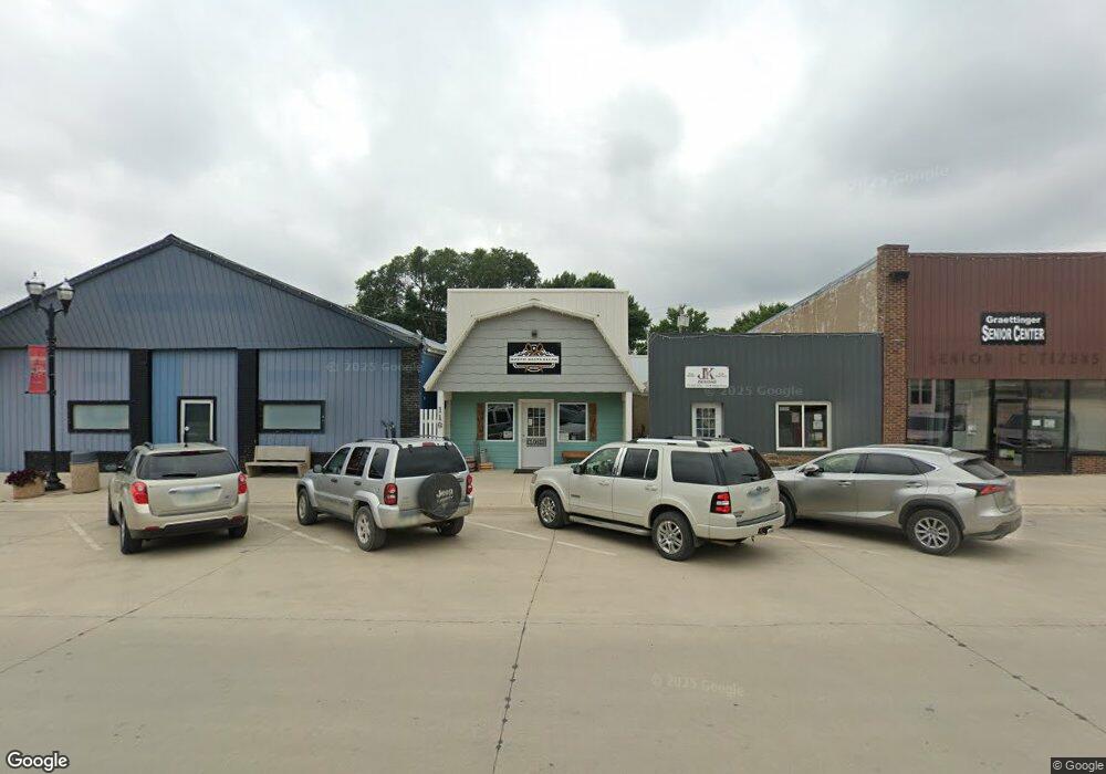
116 Robins St Graettinger, IA 51342
Studio
--
Bath
720
Sq Ft
2,614
Sq Ft Lot
About This Home
This home is located at 116 Robins St, Graettinger, IA 51342. 116 Robins St is a home located in Palo Alto County with nearby schools including Graettinger-Terril High School, Graettinger-Terril Elementary School, and Graettinger-Terril Middle School.
Ownership History
Date
Name
Owned For
Owner Type
Purchase Details
Closed on
Oct 29, 2025
Sold by
South Shore Landings Llc
Bought by
Quail Evan and Quail Ashley
Purchase Details
Closed on
Oct 29, 2024
Sold by
Poldervaart Sadie and Harris Sadie
Bought by
Quail Evan and Quail Ashley
Home Financials for this Owner
Home Financials are based on the most recent Mortgage that was taken out on this home.
Original Mortgage
$47,250
Interest Rate
6.09%
Mortgage Type
New Conventional
Purchase Details
Closed on
Nov 30, 2017
Sold by
Hanson Kevin M and Hanson Julie A
Bought by
Poldervaart Sadie and Studer Linda
Create a Home Valuation Report for This Property
The Home Valuation Report is an in-depth analysis detailing your home's value as well as a comparison with similar homes in the area
Purchase History
| Date | Buyer | Sale Price | Title Company |
|---|---|---|---|
| Quail Evan | $145,500 | None Listed On Document | |
| Quail Evan | $60,000 | None Listed On Document | |
| Quail Evan | $60,000 | None Listed On Document | |
| Poldervaart Sadie | $2,000 | None Available |
Source: Public Records
Mortgage History
| Date | Status | Borrower | Loan Amount |
|---|---|---|---|
| Previous Owner | Quail Evan | $47,250 |
Source: Public Records
Tax History
| Year | Tax Paid | Tax Assessment Tax Assessment Total Assessment is a certain percentage of the fair market value that is determined by local assessors to be the total taxable value of land and additions on the property. | Land | Improvement |
|---|---|---|---|---|
| 2025 | $994 | $68,920 | $2,160 | $66,760 |
| 2024 | $994 | $60,300 | $2,160 | $58,140 |
| 2023 | $940 | $60,300 | $2,160 | $58,140 |
| 2022 | $1,576 | $48,530 | $2,160 | $46,370 |
| 2021 | $1,532 | $48,530 | $2,160 | $46,370 |
| 2020 | $1,532 | $47,480 | $2,160 | $45,320 |
Source: Public Records
Map
Nearby Homes
- 203 N Cedar Ave
- 0 N Cedar Ave
- 303 N Lincoln Ave
- 601 W Robins Ave
- 503 W Olesen Thu St
- 609 S Cedar Ave
- 2680 460th Ave
- 314 Saint James Ave
- 208 N 3rd St
- 2295 455th Ave
- 105 Nolan Dr
- 34824 Cy Hawk Ave
- 103 Nolan Dr
- 117 Nolan Dr
- Ford Rd Rockport Addition
- 307 Ford Rd
- 2071 395th Ave
- 3286 355th Ave
- 34924 320th St
- 3102 3rd St
- 107 W Lost Island St
- 201 W Lost Island St
- 210 W Robbins St
- 104 W Lost Island St
- 203 W Lost Island St
- 103 N Cedar Ave
- 201 S Cedar Ave
- 205 W Lost Island St
- 204 W Olive St
- 203 S Cedar Ave
- 104 S Maple Ave
- 204 S Cedar Ave
- 206 W Olive St
- 208 W Olive St
- 204 W Lost Island St
- 205 S Cedar Ave
- 201 W Olive St
- 103 Marvin St
- 206 S Cedar Ave
- 103 S Brown Ave
Your Personal Tour Guide
Ask me questions while you tour the home.