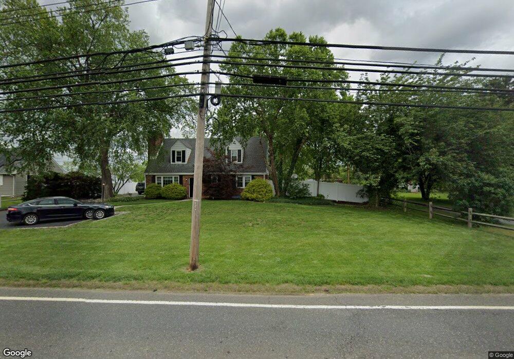
116 Route 526 Allentown, NJ 08501
Estimated Value: $567,000 - $712,000
3
Beds
1
Bath
1,775
Sq Ft
$354/Sq Ft
Est. Value
About This Home
This home is located at 116 Route 526, Allentown, NJ 08501 and is currently estimated at $628,449, approximately $354 per square foot. 116 Route 526 is a home located in Monmouth County with nearby schools including Newell Elementary School, Stonebridge Middle School, and Allentown High School.
Ownership History
Date
Name
Owned For
Owner Type
Purchase Details
Closed on
Apr 11, 2001
Sold by
Makar Stephan
Bought by
Dawes John and Dawes Judy
Current Estimated Value
Home Financials for this Owner
Home Financials are based on the most recent Mortgage that was taken out on this home.
Original Mortgage
$163,200
Outstanding Balance
$59,624
Interest Rate
6.9%
Mortgage Type
VA
Estimated Equity
$568,825
Create a Home Valuation Report for This Property
The Home Valuation Report is an in-depth analysis detailing your home's value as well as a comparison with similar homes in the area
Home Values in the Area
Average Home Value in this Area
Purchase History
| Date | Buyer | Sale Price | Title Company |
|---|---|---|---|
| Dawes John | $160,000 | -- |
Source: Public Records
Mortgage History
| Date | Status | Borrower | Loan Amount |
|---|---|---|---|
| Open | Dawes John | $163,200 |
Source: Public Records
Tax History
| Year | Tax Paid | Tax Assessment Tax Assessment Total Assessment is a certain percentage of the fair market value that is determined by local assessors to be the total taxable value of land and additions on the property. | Land | Improvement |
|---|---|---|---|---|
| 2025 | $9,523 | $524,400 | $274,900 | $249,500 |
| 2024 | $9,448 | $441,700 | $170,200 | $271,500 |
Source: Public Records
Map
Nearby Homes
- 37 Waldron Rd
- 34 N Main St
- 22 Route 524
- 35 Church St
- 30 Ridgeview Way
- 16 Greenfield Dr
- 467 Gordon Rd
- 151 Walnford Rd
- 501 Circle Dr
- 33 Bunker Hill Dr
- 10 Powderhorn Way
- 16 Powderhorn Way
- 1400 Old York Rd
- 81 Potts Rd
- 163 Sharon Station Rd
- 203 Holmes Mill Rd
- 20 Yeger Dr
- 0 Sawmill Rd Unit NJME2072144
- 47 Imlaystown Rd
- 38 Herbert Rd
Your Personal Tour Guide
Ask me questions while you tour the home.