116 Rowland Creek Rd Moyock, NC 27958
Estimated Value: $387,876 - $406,000
3
Beds
2
Baths
1,974
Sq Ft
$202/Sq Ft
Est. Value
About This Home
This home is located at 116 Rowland Creek Rd, Moyock, NC 27958 and is currently estimated at $398,969, approximately $202 per square foot. 116 Rowland Creek Rd is a home located in Currituck County with nearby schools including Shawboro Elementary School, Moyock Middle School, and Currituck County High School.
Ownership History
Date
Name
Owned For
Owner Type
Purchase Details
Closed on
Feb 22, 2007
Sold by
Francisco Gina and Tangredi Gina R
Bought by
Tangredi Gina R
Current Estimated Value
Home Financials for this Owner
Home Financials are based on the most recent Mortgage that was taken out on this home.
Original Mortgage
$30,000
Outstanding Balance
$17,999
Interest Rate
6.19%
Mortgage Type
Stand Alone Second
Estimated Equity
$380,970
Create a Home Valuation Report for This Property
The Home Valuation Report is an in-depth analysis detailing your home's value as well as a comparison with similar homes in the area
Home Values in the Area
Average Home Value in this Area
Purchase History
| Date | Buyer | Sale Price | Title Company |
|---|---|---|---|
| Tangredi Gina R | -- | None Available |
Source: Public Records
Mortgage History
| Date | Status | Borrower | Loan Amount |
|---|---|---|---|
| Open | Tangredi Gina R | $30,000 |
Source: Public Records
Tax History Compared to Growth
Tax History
| Year | Tax Paid | Tax Assessment Tax Assessment Total Assessment is a certain percentage of the fair market value that is determined by local assessors to be the total taxable value of land and additions on the property. | Land | Improvement |
|---|---|---|---|---|
| 2024 | $1,741 | $233,900 | $82,400 | $151,500 |
| 2023 | $1,743 | $233,900 | $82,400 | $151,500 |
| 2022 | $1,352 | $233,900 | $82,400 | $151,500 |
| 2021 | $1,343 | $173,800 | $56,700 | $117,100 |
| 2020 | $986 | $173,800 | $56,700 | $117,100 |
| 2019 | $986 | $173,800 | $56,700 | $117,100 |
| 2018 | $992 | $173,800 | $56,700 | $117,100 |
| 2017 | $956 | $173,800 | $56,700 | $117,100 |
| 2016 | $957 | $173,800 | $56,700 | $117,100 |
| 2015 | $957 | $173,800 | $56,700 | $117,100 |
Source: Public Records
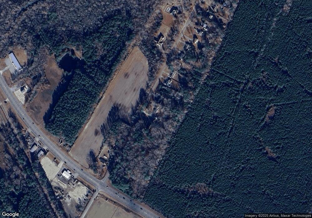
Map
Nearby Homes
- 130 Rowland Creek Rd
- TBD Tulls Creek Rd
- Mm Northern Pine (Derring Ii) Dr
- Mm Northern Pine (Squire Model) Dr
- 401 Guinea Rd
- 104 Briton Way Unit Lot 64
- 104 Briton Way
- 0 Caratoke Hwy Unit 100450510
- 0 Caratoke Hwy Unit 100521828
- 0 Caratoke Hwy Unit 100485090
- 110 Ashbee Ct
- The Lennox Plan at FOST
- The Brixton Plan at FOST
- The Kingston Plan at FOST
- The Jackson Plan at FOST
- The Remington Plan at FOST
- 213 Iris Cir
- 111 Iris Cir
- 111 Iris Cir Unit Lot 28
- 102 Ryker Rd E
- 118 Rowland Creek Rd
- 114 Rowland Creek Rd
- 112 Rowland Creek Rd
- 122 Rowland Creek Rd
- 124 Rowland Creek Rd
- 126 Rowland Creek Rd
- 107 Creek Dr
- 128 Rowland Creek Rd
- 129 Rowland Creek Rd
- 1429 Caratoke Hwy
- 132 Rowland
- 132 Rowland Creek Rd
- 1445 Caratoke Hwy
- 134 Rowland Creek Rd
- 136 Rowland Creek Rd
- 135 Rowland Creek Rd
- 138 Rowland Creek Rd
- 16ACR Guinea Rd
- 1399 Caratoke Hwy
- 140 Rowland Creek Rd