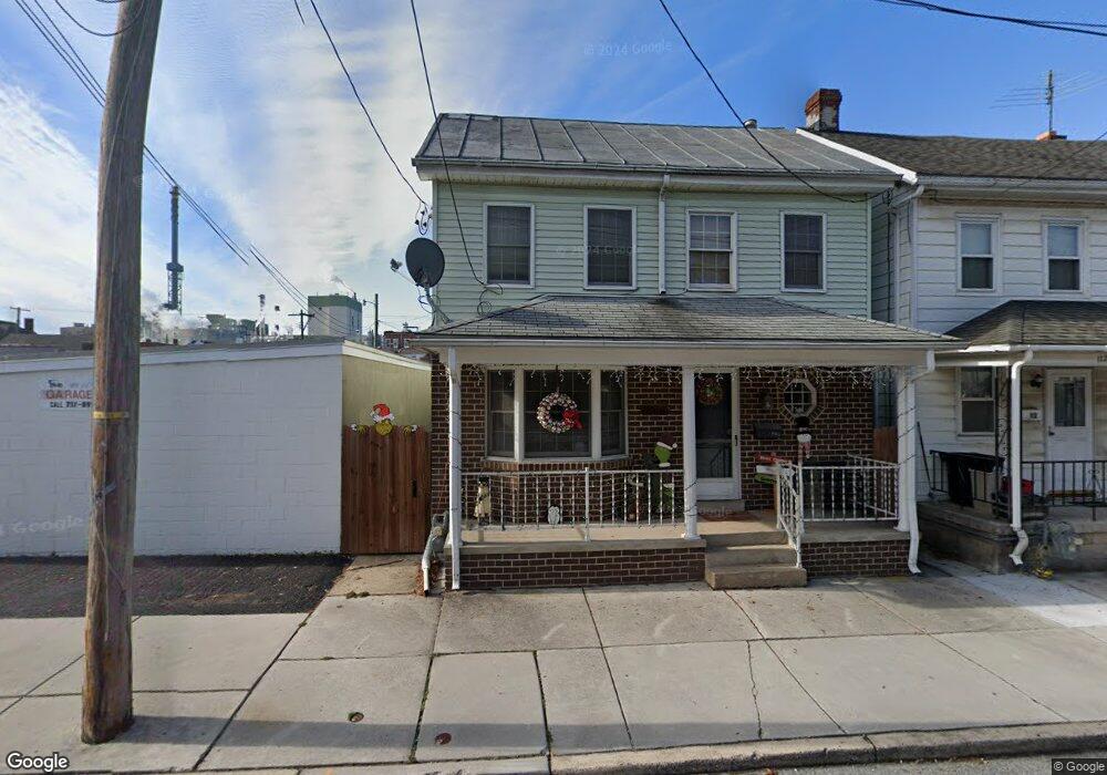
116 S East St Spring Grove, PA 17362
Estimated Value: $192,000 - $208,000
4
Beds
2
Baths
1,804
Sq Ft
$110/Sq Ft
Est. Value
About This Home
This home is located at 116 S East St, Spring Grove, PA 17362 and is currently estimated at $197,844, approximately $109 per square foot. 116 S East St is a home located in York County with nearby schools including Spring Grove Area Middle School, Spring Grove Area High School, and St Rose Of Lima School.
Ownership History
Date
Name
Owned For
Owner Type
Purchase Details
Closed on
Sep 22, 2018
Sold by
Wilson Brandon
Bought by
Wilson Danielle M
Current Estimated Value
Home Financials for this Owner
Home Financials are based on the most recent Mortgage that was taken out on this home.
Original Mortgage
$83,000
Outstanding Balance
$72,388
Interest Rate
4.6%
Mortgage Type
New Conventional
Estimated Equity
$125,456
Purchase Details
Closed on
May 20, 2002
Sold by
Lehigh Jeffrey A
Bought by
Wilson Brandon and Wilson Danielle
Home Financials for this Owner
Home Financials are based on the most recent Mortgage that was taken out on this home.
Original Mortgage
$76,892
Interest Rate
7.01%
Mortgage Type
FHA
Purchase Details
Closed on
Jan 9, 2001
Sold by
Lehigh Jeffrey A and Lehigh Nancy K
Bought by
Lehigh Jeffrey A
Create a Home Valuation Report for This Property
The Home Valuation Report is an in-depth analysis detailing your home's value as well as a comparison with similar homes in the area
Home Values in the Area
Average Home Value in this Area
Purchase History
| Date | Buyer | Sale Price | Title Company |
|---|---|---|---|
| Wilson Danielle M | -- | None Available | |
| Wilson Brandon | $77,500 | -- | |
| Lehigh Jeffrey A | -- | -- |
Source: Public Records
Mortgage History
| Date | Status | Borrower | Loan Amount |
|---|---|---|---|
| Open | Wilson Danielle M | $83,000 | |
| Closed | Wilson Brandon | $76,892 |
Source: Public Records
Tax History Compared to Growth
Tax History
| Year | Tax Paid | Tax Assessment Tax Assessment Total Assessment is a certain percentage of the fair market value that is determined by local assessors to be the total taxable value of land and additions on the property. | Land | Improvement |
|---|---|---|---|---|
| 2025 | $3,314 | $88,710 | $22,440 | $66,270 |
| 2024 | $3,282 | $88,710 | $22,440 | $66,270 |
| 2023 | $3,282 | $88,710 | $22,440 | $66,270 |
| 2022 | $3,282 | $88,710 | $22,440 | $66,270 |
| 2021 | $3,155 | $88,710 | $22,440 | $66,270 |
| 2020 | $3,133 | $88,710 | $22,440 | $66,270 |
| 2019 | $3,073 | $88,710 | $22,440 | $66,270 |
| 2018 | $2,948 | $88,710 | $22,440 | $66,270 |
| 2017 | $2,885 | $88,710 | $22,440 | $66,270 |
| 2016 | $0 | $88,710 | $22,440 | $66,270 |
| 2015 | -- | $88,710 | $22,440 | $66,270 |
| 2014 | -- | $88,710 | $22,440 | $66,270 |
Source: Public Records
Map
Nearby Homes
- 46 N Main St
- 145 N Main St
- 1934 Forge Heights Ln
- 156 N Walnut St
- Lot # 2 Midhill Rd
- Lot # 1 Midhill Rd
- Lot# 3 Midhill Rd
- 1495 Jefferson Rd
- 214 Hauer Terrace
- 568 Monocacy Trail
- 540 Monocacy Trail
- St. Michaels Model 5 Monocacy Trail
- 544 Monocacy Trail
- 562 Monocacy Trail
- 560 Monocacy Trail
- 1941 Cedar Dr
- 2405 Myers Rd
- 6030 Deborah Dr
- 6605 Woodland Dr
- 6132 Deborah Dr