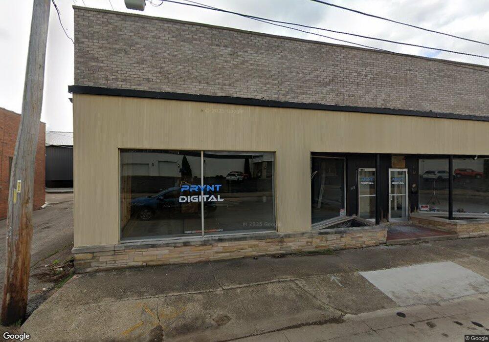
116 S Hamilton St Lincoln, IL 62656
Estimated Value: $110,186
--
Bed
--
Bath
--
Sq Ft
0.3
Acres
About This Home
This home is located at 116 S Hamilton St, Lincoln, IL 62656 and is currently estimated at $110,186. 116 S Hamilton St is a home located in Logan County with nearby schools including Washington-Monroe Elementary School, Lincoln Junior High School, and Lincoln Community High School.
Ownership History
Date
Name
Owned For
Owner Type
Purchase Details
Closed on
Mar 13, 2024
Sold by
Heartland Bank & Trust Co
Bought by
Prynt Digital Llc
Current Estimated Value
Purchase Details
Closed on
Mar 4, 2011
Sold by
Gesner Irving F and Gesner Leona M
Bought by
Sampson Stephen S
Home Financials for this Owner
Home Financials are based on the most recent Mortgage that was taken out on this home.
Original Mortgage
$43,825
Interest Rate
4.88%
Mortgage Type
Future Advance Clause Open End Mortgage
Create a Home Valuation Report for This Property
The Home Valuation Report is an in-depth analysis detailing your home's value as well as a comparison with similar homes in the area
Home Values in the Area
Average Home Value in this Area
Purchase History
| Date | Buyer | Sale Price | Title Company |
|---|---|---|---|
| Prynt Digital Llc | $45,000 | None Available | |
| Sampson Stephen S | $55,000 | -- |
Source: Public Records
Mortgage History
| Date | Status | Borrower | Loan Amount |
|---|---|---|---|
| Previous Owner | Sampson Stephen S | $43,825 |
Source: Public Records
Tax History Compared to Growth
Tax History
| Year | Tax Paid | Tax Assessment Tax Assessment Total Assessment is a certain percentage of the fair market value that is determined by local assessors to be the total taxable value of land and additions on the property. | Land | Improvement |
|---|---|---|---|---|
| 2024 | $2,658 | $28,990 | $12,940 | $16,050 |
| 2023 | $2,538 | $26,840 | $11,980 | $14,860 |
| 2022 | $2,476 | $25,090 | $11,200 | $13,890 |
| 2021 | $2,385 | $24,090 | $10,750 | $13,340 |
| 2020 | $2,354 | $23,730 | $10,590 | $13,140 |
| 2019 | $2,350 | $23,730 | $10,590 | $13,140 |
| 2018 | $2,332 | $23,260 | $10,380 | $12,880 |
| 2017 | $2,318 | $23,260 | $10,380 | $12,880 |
| 2016 | $226 | $23,240 | $10,370 | $12,870 |
| 2015 | $2,196 | $22,460 | $10,020 | $12,440 |
| 2014 | $2,196 | $22,460 | $10,020 | $12,440 |
| 2013 | $2,196 | $21,320 | $9,510 | $11,810 |
| 2012 | $2,196 | $21,700 | $9,680 | $12,020 |
Source: Public Records
Map
Nearby Homes
- 928 Broadway St
- 1025 Broadway St
- 521 Decatur St
- 419 Decatur St
- 113 N Kickapoo St
- 617 Decatur St
- 418 Wyatt Ave
- 402 Wyatt Ave
- 1121 Broadway St
- 1225 Delavan St
- 1227 Delavan St
- 410 S Chicago St
- 1311 Broadway St
- 929 Decatur St
- 915 Peoria St
- 311 S Logan St
- 502 Williamette Ave
- 515 S Maple St Unit 517
- 716 S Kickapoo St
- 620 Tremont St
- 118 S Hamilton St
- 700 Pulaski St Unit 708
- 720 Pulaski St
- 726 Pulaski St
- 115 S Sherman St
- 829 Broadway St Unit 831 Broadway Street
- 625 Pulaski St
- 625 Pulaski St Unit 629 Pulaski Street
- 800 Pulaski St
- 731 Pulaski St
- 806 Pulaski St
- 617 Pulaski St Unit 619 Pulaski Street
- 617 Pulaski St
- 211 S Hamilton St
- 803 Pulaski St
- 803 Pulaski St Unit 202 S. Sherman
- 905 Broadway St
- 711 Broadway St
- 217 S Hamilton St