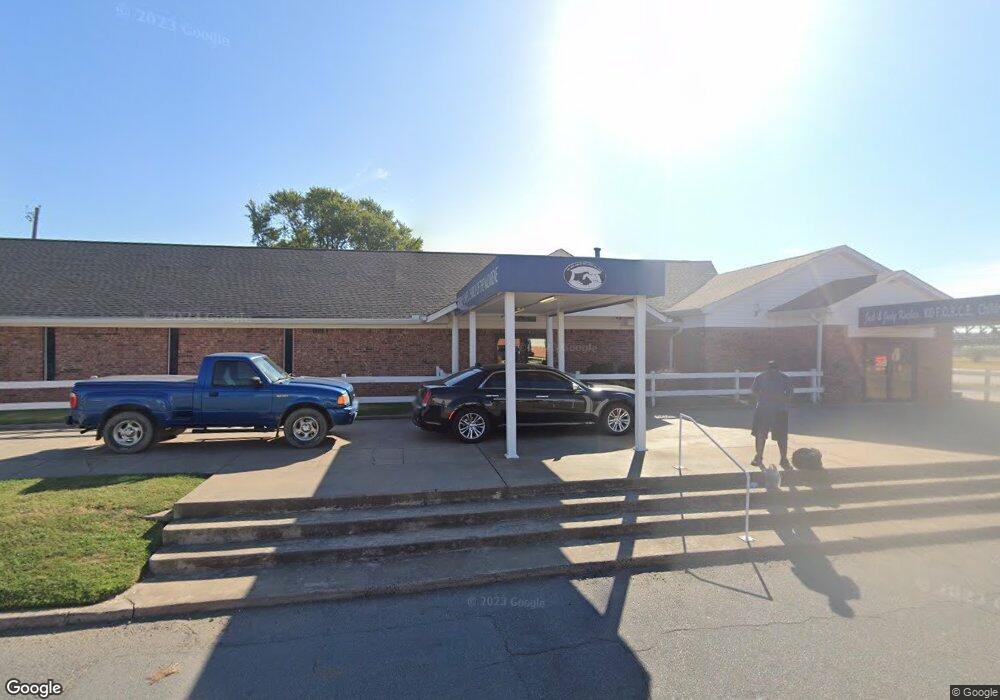
116 S Pine St North Little Rock, AR 72114
East Argenta NeighborhoodEstimated Value: $38,000 - $204,559
--
Bed
--
Bath
15,058
Sq Ft
$9/Sq Ft
Est. Value
About This Home
This home is located at 116 S Pine St, North Little Rock, AR 72114 and is currently estimated at $141,140, approximately $9 per square foot. 116 S Pine St is a home with nearby schools including Seventh Street Elementary School, North Little Rock Middle School 6th Grade Campus, and North Little Rock High School.
Ownership History
Date
Name
Owned For
Owner Type
Purchase Details
Closed on
Apr 16, 2002
Sold by
Flame Inc Friendly Chapel F L A M E
Bought by
The Friendly Chapel F L A M E Inc
Current Estimated Value
Home Financials for this Owner
Home Financials are based on the most recent Mortgage that was taken out on this home.
Original Mortgage
$500,000
Outstanding Balance
$211,410
Interest Rate
7.09%
Mortgage Type
Purchase Money Mortgage
Estimated Equity
-$70,270
Create a Home Valuation Report for This Property
The Home Valuation Report is an in-depth analysis detailing your home's value as well as a comparison with similar homes in the area
Home Values in the Area
Average Home Value in this Area
Purchase History
| Date | Buyer | Sale Price | Title Company |
|---|---|---|---|
| The Friendly Chapel F L A M E Inc | -- | American Abstract & Title Co |
Source: Public Records
Mortgage History
| Date | Status | Borrower | Loan Amount |
|---|---|---|---|
| Open | The Friendly Chapel F L A M E Inc | $500,000 |
Source: Public Records
Tax History Compared to Growth
Tax History
| Year | Tax Paid | Tax Assessment Tax Assessment Total Assessment is a certain percentage of the fair market value that is determined by local assessors to be the total taxable value of land and additions on the property. | Land | Improvement |
|---|---|---|---|---|
| 2025 | $1,274 | $19,069 | $18,785 | $284 |
| 2024 | $1,274 | $19,069 | $18,785 | $284 |
| 2023 | $1,274 | $19,069 | $18,785 | $284 |
| 2022 | $1,094 | $16,380 | $16,380 | $0 |
| 2021 | $1,094 | $16,380 | $16,380 | $0 |
| 2020 | $1,094 | $16,380 | $16,380 | $0 |
| 2019 | $1,094 | $16,380 | $16,380 | $0 |
| 2018 | $1,094 | $16,380 | $16,380 | $0 |
| 2017 | $1,094 | $16,380 | $16,380 | $0 |
| 2016 | $3,869 | $57,920 | $0 | $57,920 |
| 2015 | $3,869 | $57,920 | $0 | $57,920 |
| 2014 | $3,869 | $57,920 | $0 | $57,920 |
Source: Public Records
Map
Nearby Homes
- 000 Highway 65 Unit Tract 3
- 000 Highway 65 Unit Tract 2
- 000 Highway 65 Unit Tract 6
- 000 Highway 65 Unit Tract 1
- 000 Highway 65 Unit Tract 4
- 000 Highway 65 Unit Tract 5
- 114 N Walnut St
- 521 President Clinton #1206 Ave
- 521 President Clinton Ave
- 0 E 2nd St
- 200 River Market Ave
- 300 E 3rd St
- 300 E 3rd St Unit 502
- 423 E 3rd St
- 423 E 3rd St Unit 202
- 423 E 3rd St Unit 201
- 423 E 3rd St Unit 303
- 423 E 3rd St Courtyard 5
- 300 E Third #1304 St
- 623 E Washington Ave
- 600 E Washington Ave
- 108 108 S Vine St Unit 800 E Washington
- 801 Ferry St
- 810 E Washington Ave
- 218 S Locust St
- 803 Ferry St
- 303 N Vine St
- 108 N Vine St
- 712 E 2nd St
- 714 E 2nd St
- 807 Ferry St
- 114 N Vine St
- 0 Ferry St Unit 19024513
- 0 Ferry St Unit 18023293
- 806 Ferry St
- 0 Washington and Riverfront St Unit 20034083
- 0 Washington and Riverfront St
- 701 E 2nd St
- 615 E 2nd St