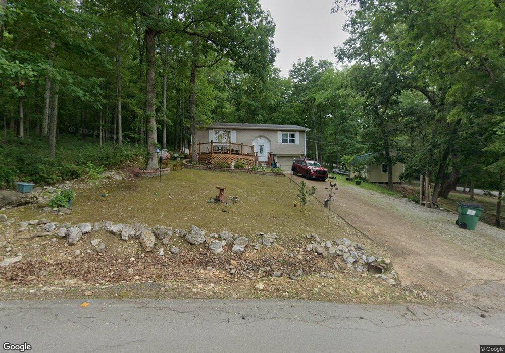
116 S Summit Ridge Dr Williford, AR 72482
Estimated Value: $92,000 - $109,000
2
Beds
2
Baths
1,141
Sq Ft
$87/Sq Ft
Est. Value
About This Home
This home is located at 116 S Summit Ridge Dr, Williford, AR 72482 and is currently estimated at $99,765, approximately $87 per square foot. 116 S Summit Ridge Dr is a home located in Sharp County with nearby schools including Cherokee Elementary School, Highland Middle School, and Highland High School.
Ownership History
Date
Name
Owned For
Owner Type
Purchase Details
Closed on
Mar 4, 2019
Sold by
Brown Glenn W and Brown Terri L
Bought by
Underwood Charlie and Underwood Maria
Current Estimated Value
Home Financials for this Owner
Home Financials are based on the most recent Mortgage that was taken out on this home.
Original Mortgage
$46,487
Outstanding Balance
$40,787
Interest Rate
4.4%
Mortgage Type
Future Advance Clause Open End Mortgage
Estimated Equity
$58,978
Create a Home Valuation Report for This Property
The Home Valuation Report is an in-depth analysis detailing your home's value as well as a comparison with similar homes in the area
Home Values in the Area
Average Home Value in this Area
Purchase History
| Date | Buyer | Sale Price | Title Company |
|---|---|---|---|
| Underwood Charlie | $57,000 | None Available |
Source: Public Records
Mortgage History
| Date | Status | Borrower | Loan Amount |
|---|---|---|---|
| Open | Underwood Charlie | $46,487 |
Source: Public Records
Tax History Compared to Growth
Tax History
| Year | Tax Paid | Tax Assessment Tax Assessment Total Assessment is a certain percentage of the fair market value that is determined by local assessors to be the total taxable value of land and additions on the property. | Land | Improvement |
|---|---|---|---|---|
| 2025 | $367 | $10,240 | $300 | $9,940 |
| 2024 | $367 | $10,240 | $300 | $9,940 |
| 2023 | $367 | $10,240 | $300 | $9,940 |
| 2022 | $105 | $9,460 | $300 | $9,160 |
| 2021 | $132 | $9,460 | $300 | $9,160 |
| 2020 | $132 | $9,460 | $300 | $9,160 |
| 2019 | $428 | $8,280 | $300 | $7,980 |
| 2018 | $428 | $8,280 | $300 | $7,980 |
| 2017 | $306 | $8,280 | $300 | $7,980 |
| 2016 | $428 | $8,280 | $300 | $7,980 |
| 2015 | -- | $8,280 | $300 | $7,980 |
| 2014 | -- | $13,530 | $300 | $13,230 |
| 2013 | -- | $13,530 | $300 | $13,230 |
Source: Public Records
Map
Nearby Homes
- Lot 13 Druid Dr
- 71 Lakeside Dr
- 9 Summit Ridge Cir
- 0 Lakeside Dr
- 6 Vagabond Rd
- 1717 Highway 63
- Lot 5 Buckboard Dr
- 36 Buckskin Ln
- 146 Vagabond Rd
- Lot 5 Buckboard Ln
- TBD Hawthorne Dr
- 295 S Summit Ridge Dr
- 23 Mayo Ave
- Lot 6 Oak Ln
- Lot 4 Oak Ln
- Lot 7 Glen Oak Terrace
- 000 Newman Trail
- Lot 5 Hickory Dr
- XX Summit Ridge Dr
- 0 Newman Trail
- 8 Lakeside Dr
- 26 Summit Ridge Terrace
- 237 S Summit Ridge Dr
- 32 Buckskin Rd
- 27 Lakeside Dr
- 10 Buckboard Dr
- 12 Buckboard Dr
- Lot 27 Lake Terrace Lakeside Dr
- 27 Lakeside Dr Unit Blk 1 Lake Terrace
- 27 Lakeside Dr
- Tbd Summit Ridge
- 140 Bald Eagle Trail
- 4 Kimberly Dr
- 316 Alton Road Summit Ridge Dr
- Lot 10 Lakeside Dr
- 65 Buckboard Dr
- 8 Buckskin Rd
- 189 S Summit Ridge Rd
- 0 Kimberly Dr Unit 16007907
- 41 Buckskin Rd