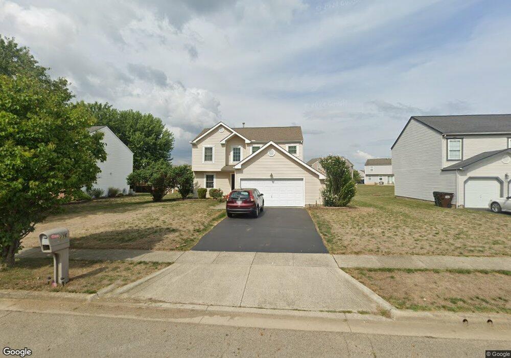
116 Scioto Landing Blvd South Bloomfield, OH 43103
Estimated Value: $314,000 - $347,000
3
Beds
3
Baths
1,858
Sq Ft
$177/Sq Ft
Est. Value
About This Home
This home is located at 116 Scioto Landing Blvd, South Bloomfield, OH 43103 and is currently estimated at $328,574, approximately $176 per square foot. 116 Scioto Landing Blvd is a home located in Pickaway County.
Ownership History
Date
Name
Owned For
Owner Type
Purchase Details
Closed on
May 20, 2004
Sold by
Maronda Homes Inc
Bought by
Smith James L and Smith Diane K
Current Estimated Value
Home Financials for this Owner
Home Financials are based on the most recent Mortgage that was taken out on this home.
Original Mortgage
$146,722
Interest Rate
6.35%
Mortgage Type
FHA
Purchase Details
Closed on
Jul 29, 2002
Sold by
Landvest Llc
Bought by
Maronda Homes Inc Of Ohio
Create a Home Valuation Report for This Property
The Home Valuation Report is an in-depth analysis detailing your home's value as well as a comparison with similar homes in the area
Home Values in the Area
Average Home Value in this Area
Purchase History
| Date | Buyer | Sale Price | Title Company |
|---|---|---|---|
| Smith James L | $149,100 | Chicago Title | |
| Maronda Homes Inc Of Ohio | $585,000 | -- |
Source: Public Records
Mortgage History
| Date | Status | Borrower | Loan Amount |
|---|---|---|---|
| Previous Owner | Smith James L | $146,722 |
Source: Public Records
Tax History Compared to Growth
Tax History
| Year | Tax Paid | Tax Assessment Tax Assessment Total Assessment is a certain percentage of the fair market value that is determined by local assessors to be the total taxable value of land and additions on the property. | Land | Improvement |
|---|---|---|---|---|
| 2024 | -- | $83,320 | $7,000 | $76,320 |
| 2023 | $3,202 | $83,320 | $7,000 | $76,320 |
| 2022 | $2,537 | $60,830 | $5,870 | $54,960 |
| 2021 | $2,403 | $60,830 | $5,870 | $54,960 |
| 2020 | $2,410 | $60,830 | $5,870 | $54,960 |
| 2019 | $1,913 | $51,550 | $5,870 | $45,680 |
| 2018 | $2,132 | $51,550 | $5,870 | $45,680 |
| 2017 | $2,187 | $51,550 | $5,870 | $45,680 |
| 2016 | $1,728 | $40,530 | $5,850 | $34,680 |
| 2015 | $1,729 | $40,530 | $5,850 | $34,680 |
| 2014 | $1,730 | $40,530 | $5,850 | $34,680 |
| 2013 | $1,875 | $42,450 | $5,850 | $36,600 |
Source: Public Records
Map
Nearby Homes
- 52 River Bend Dr
- 5004 Yenko Ct
- Longwood Plan at Walker Pointe
- Birmingham Plan at Walker Pointe
- Sanibel Plan at Walker Pointe
- Carlisle Plan at Walker Pointe
- Somerset Plan at Walker Pointe
- Chattanooga Plan at Walker Pointe
- Rockford Plan at Walker Pointe
- Hoover Plan at Walker Pointe
- Sedona Plan at Walker Pointe
- Truman Plan at Walker Pointe
- Miramar Plan at Walker Pointe
- 5332 Karst Cir
- Beacon Plan at Day Farm - Maple Street Collection
- Greenbriar Plan at Day Farm - Maple Street Collection
- Jensen Plan at Day Farm - Maple Street Collection
- Breckenridge Plan at Day Farm - Maple Street Collection
- Yosemite Plan at Day Farm - Maple Street Collection
- Danville Plan at Day Farm - Maple Street Collection
- 114 Scioto Landing Blvd
- 112 Scioto Landing Blvd
- 118 Scioto Landing Blvd
- 50 River Bend Dr
- 48 River Bend Dr
- 0 Scioto Landing Blvd Unit L-11
- 5120 Scioto Landing Blvd
- 39 River Bend Dr
- 35 River Bend Dr
- 51 River Bend Dr
- 110 Scioto Landing Blvd
- 89 Henderson Ln
- 339 Karst Cir
- 5058 River Bend Dr
- 5064 River Bend Dr
- 5062 River Bend Dr
- 5068 River Bend Dr
- 5073 River Bend Dr
- 5059 River Bend Dr
- 5085 River Bend Dr