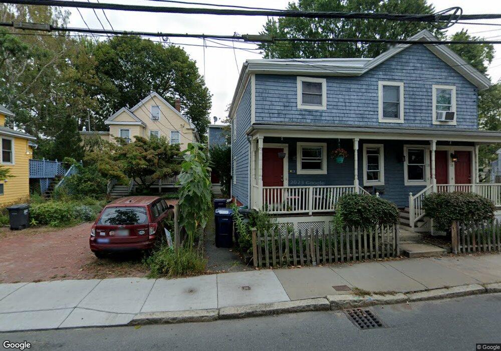
116 Sherman St Unit 120 Cambridge, MA 02140
Neighborhood Nine NeighborhoodEstimated Value: $718,000 - $767,000
2
Beds
1
Bath
776
Sq Ft
$947/Sq Ft
Est. Value
About This Home
This home is located at 116 Sherman St Unit 120, Cambridge, MA 02140 and is currently estimated at $734,524, approximately $946 per square foot. 116 Sherman St Unit 120 is a home located in Middlesex County with nearby schools including Benjamin Banneker Charter Public School, Cambridge Friends School, and Cambridge Montessori School.
Ownership History
Date
Name
Owned For
Owner Type
Purchase Details
Closed on
Mar 16, 2005
Sold by
Disraelly Deena S
Bought by
Buchholz John and Ruchholz John
Current Estimated Value
Home Financials for this Owner
Home Financials are based on the most recent Mortgage that was taken out on this home.
Original Mortgage
$282,400
Outstanding Balance
$143,454
Interest Rate
5.64%
Mortgage Type
Purchase Money Mortgage
Estimated Equity
$591,070
Create a Home Valuation Report for This Property
The Home Valuation Report is an in-depth analysis detailing your home's value as well as a comparison with similar homes in the area
Home Values in the Area
Average Home Value in this Area
Purchase History
| Date | Buyer | Sale Price | Title Company |
|---|---|---|---|
| Buchholz John | $353,000 | -- | |
| Buchholz John | $353,000 | -- |
Source: Public Records
Mortgage History
| Date | Status | Borrower | Loan Amount |
|---|---|---|---|
| Open | Buchholz John | $282,400 | |
| Closed | Buchholz John | $282,400 |
Source: Public Records
Tax History Compared to Growth
Tax History
| Year | Tax Paid | Tax Assessment Tax Assessment Total Assessment is a certain percentage of the fair market value that is determined by local assessors to be the total taxable value of land and additions on the property. | Land | Improvement |
|---|---|---|---|---|
| 2025 | $4,401 | $693,100 | $0 | $693,100 |
| 2024 | $3,924 | $662,900 | $0 | $662,900 |
| 2023 | $3,869 | $660,300 | $0 | $660,300 |
| 2022 | $3,793 | $640,700 | $0 | $640,700 |
| 2021 | $3,597 | $614,800 | $0 | $614,800 |
| 2020 | $3,437 | $597,800 | $0 | $597,800 |
| 2019 | $3,297 | $555,100 | $0 | $555,100 |
| 2018 | $3,215 | $511,200 | $0 | $511,200 |
| 2017 | $3,068 | $472,800 | $0 | $472,800 |
| 2016 | $2,756 | $394,300 | $0 | $394,300 |
| 2015 | $2,734 | $349,600 | $0 | $349,600 |
| 2014 | $2,705 | $322,800 | $0 | $322,800 |
Source: Public Records
Map
Nearby Homes
- 61 Bolton St Unit 304
- 147 Sherman St Unit 201
- 183 Rindge Ave Unit 1
- 318 Rindge Ave Unit 103
- 273 Walden St Unit 2
- 204 Garden St
- 5 Field St
- 24 Newell St
- 14-16 Field St
- 156 Fayerweather St Unit 156
- 49 Clifton St
- 12 Rindge Ave Unit 1
- 318 Concord Ave Unit 2
- 124 Jackson St
- 30 Dudley St
- 22 Harrington Rd
- 8 Cogswell Ave
- 148 Huron Ave
- 24 Cambridge Terrace Unit 2
- 12-14 Gray Gardens W
- 118 Sherman St
- 116 Sherman St
- 118 Sherman St Unit 118
- 116 Sherman St Unit 116
- 116 Sherman St Unit 116/1
- 124 Sherman St
- 124 Sherman St Unit 7
- 120 Sherman St
- 120 Sherman St Unit 120
- 122 Sherman St Unit 2
- 122 Sherman St Unit 1
- 108 Sherman St
- 120.5 Sherman St Unit 120.5
- 120.5 Sherman St Unit 120 1/2
- 9-e Bellis Cir Unit 5
- 9-e Bellis Cir Unit E
- 9-e Bellis Cir
- 3 Bellis Ct Unit 3
- 9 Bellis Cir Unit E
- 9 Bellis Cir Unit 5