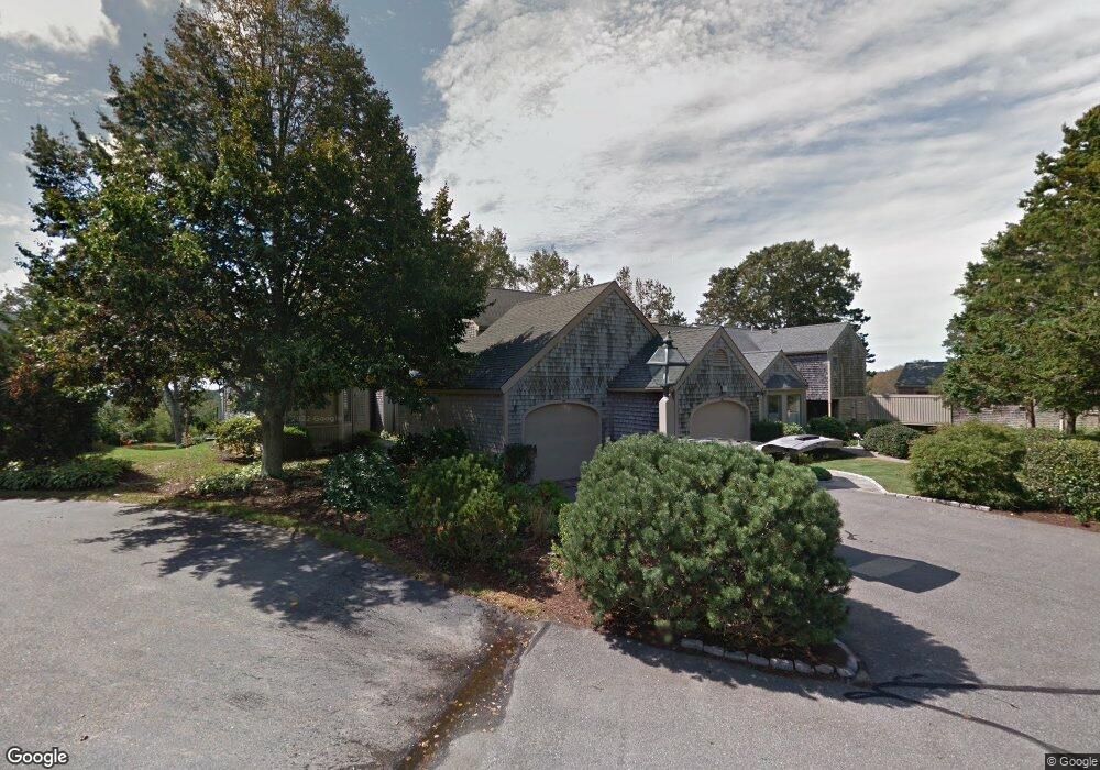
116 Ships Watch Falmouth, MA 02540
Falmouth Village NeighborhoodEstimated Value: $675,000 - $886,744
2
Beds
3
Baths
1,647
Sq Ft
$501/Sq Ft
Est. Value
About This Home
This home is located at 116 Ships Watch, Falmouth, MA 02540 and is currently estimated at $825,686, approximately $501 per square foot. 116 Ships Watch is a home located in Barnstable County with nearby schools including Mullen-Hall School, Lawrence School, and Morse Pond School.
Ownership History
Date
Name
Owned For
Owner Type
Purchase Details
Closed on
Dec 27, 2012
Sold by
Betty I Morningstar Re and Morningstar Betty I
Bought by
Betty Morningstar Ft and Anderson Deborah L
Current Estimated Value
Purchase Details
Closed on
Mar 12, 2009
Sold by
R&B Rt and Morningstar Betty I
Bought by
Betty I Morningstar Re and Morningstar Betty I
Create a Home Valuation Report for This Property
The Home Valuation Report is an in-depth analysis detailing your home's value as well as a comparison with similar homes in the area
Home Values in the Area
Average Home Value in this Area
Purchase History
| Date | Buyer | Sale Price | Title Company |
|---|---|---|---|
| Betty Morningstar Ft | -- | -- | |
| Betty I Morningstar Re | -- | -- |
Source: Public Records
Tax History Compared to Growth
Tax History
| Year | Tax Paid | Tax Assessment Tax Assessment Total Assessment is a certain percentage of the fair market value that is determined by local assessors to be the total taxable value of land and additions on the property. | Land | Improvement |
|---|---|---|---|---|
| 2025 | $5,241 | $892,900 | $0 | $892,900 |
| 2024 | $4,861 | $774,100 | $0 | $774,100 |
| 2023 | $5,017 | $725,000 | $0 | $725,000 |
| 2022 | $5,498 | $683,000 | $0 | $683,000 |
| 2021 | $4,847 | $570,200 | $0 | $570,200 |
| 2020 | $4,898 | $570,200 | $0 | $570,200 |
| 2019 | $5,027 | $587,300 | $0 | $587,300 |
| 2018 | $4,855 | $564,500 | $0 | $564,500 |
| 2017 | $4,811 | $564,000 | $0 | $564,000 |
| 2016 | $4,881 | $583,100 | $0 | $583,100 |
| 2015 | $4,776 | $583,100 | $0 | $583,100 |
| 2014 | $4,165 | $511,100 | $0 | $511,100 |
Source: Public Records
Map
Nearby Homes
- 38 Landfall Unit 38
- 38 Landfall
- 251 Woods Hole Rd
- 87 Oyster Pond Rd
- 44 Carey Ln
- 15 Hedge Ln
- 45 Haynes Ave
- 27 Upland Ave
- 71 Main St
- 65 Walker St
- 98 Main St
- 98 Main St Unit 1
- 30 Katherine Lee Bates Rd
- 33 Oakwood Ave
- 76 F r Lillie Rd
- 29 Wilson Rd
- 480 Main St Unit 1
- 10 Shanks Pond Rd
- 110 Dillingham Ave Unit 322
- 253 Scranton Ave
- 110 Ships Watch
- 112 Ships Watch
- 114 Ships Watch
- 110 Ships Watch Unit 110
- 110 Ships Watch Unit 14-4
- 112 Ships Watch Unit 143U
- 114 Ships Watch Unit 142
- 118 Ships Watch
- 124 Ships Watch
- 94 Ships Watch
- 84 Ships Watch
- 92 Ships Watch
- 70 Landfall
- 14 Landfall
- 10 Landfall
- 10 Landfall Unit 10
- 14 Landfall Treetops Unit U-14
- 10 Landfall Unit 2-1
- 102 Ships Watch
- 104 Ships Watch