116 Snapdragon Ct Milford, PA 18337
Estimated Value: $266,613 - $277,000
3
Beds
2
Baths
960
Sq Ft
$283/Sq Ft
Est. Value
About This Home
This home is located at 116 Snapdragon Ct, Milford, PA 18337 and is currently estimated at $271,807, approximately $283 per square foot. 116 Snapdragon Ct is a home located in Pike County with nearby schools including Delaware Valley High School.
Ownership History
Date
Name
Owned For
Owner Type
Purchase Details
Closed on
Aug 7, 2018
Sold by
Mendez Yessenia and Estate Of Roberto Mendez
Bought by
Bowers Eleondora A and Siafakas Panagiotis
Current Estimated Value
Home Financials for this Owner
Home Financials are based on the most recent Mortgage that was taken out on this home.
Original Mortgage
$140,000
Interest Rate
4.5%
Mortgage Type
VA
Purchase Details
Closed on
Nov 17, 2008
Sold by
Mendez Mary and Mendez Roberto
Bought by
Mendez Roberto
Home Financials for this Owner
Home Financials are based on the most recent Mortgage that was taken out on this home.
Original Mortgage
$70,000
Interest Rate
6.27%
Mortgage Type
New Conventional
Create a Home Valuation Report for This Property
The Home Valuation Report is an in-depth analysis detailing your home's value as well as a comparison with similar homes in the area
Home Values in the Area
Average Home Value in this Area
Purchase History
| Date | Buyer | Sale Price | Title Company |
|---|---|---|---|
| Bowers Eleondora A | $140,000 | None Available | |
| Mendez Roberto | -- | Advantage Abstract & Realty |
Source: Public Records
Mortgage History
| Date | Status | Borrower | Loan Amount |
|---|---|---|---|
| Previous Owner | Bowers Eleondora A | $140,000 | |
| Previous Owner | Mendez Roberto | $70,000 |
Source: Public Records
Tax History Compared to Growth
Tax History
| Year | Tax Paid | Tax Assessment Tax Assessment Total Assessment is a certain percentage of the fair market value that is determined by local assessors to be the total taxable value of land and additions on the property. | Land | Improvement |
|---|---|---|---|---|
| 2025 | $3,324 | $22,000 | $2,750 | $19,250 |
| 2024 | $3,324 | $22,000 | $2,750 | $19,250 |
| 2023 | $3,274 | $22,000 | $2,750 | $19,250 |
| 2022 | $3,186 | $22,000 | $2,750 | $19,250 |
| 2021 | $3,153 | $22,000 | $2,750 | $19,250 |
| 2020 | $3,138 | $22,000 | $2,750 | $19,250 |
| 2019 | $2,952 | $21,440 | $2,750 | $18,690 |
| 2018 | $2,952 | $21,440 | $2,750 | $18,690 |
| 2017 | $2,873 | $21,440 | $2,750 | $18,690 |
| 2016 | $0 | $21,440 | $2,750 | $18,690 |
| 2014 | -- | $21,440 | $2,750 | $18,690 |
Source: Public Records
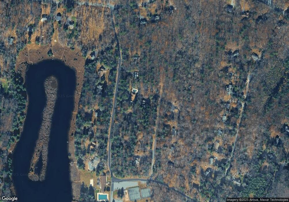
Map
Nearby Homes
- 127 E Mulberry Dr
- 130 Magnolia Ln
- 177 Chokeberry Dr
- 115 Knob Cone Dr
- 180 Chokeberry Dr
- 108 Rhododendron Ln
- 142 Birch Leaf Dr
- 157 E Mulberry Dr
- 108 Knob Cone Dr
- Lot 1725 Tan Oak Dr
- LOT 1167 Crocus Ln
- 160 Tan Oak Dr
- Lot 3613 Hiawatha Trail
- Lot 2703 Flatbrook Way
- 109 Gwinnett Rd
- Lot 344 Sec 4 Lakewood Dr
- 110 Middleton Dr
- 199 Hawthorne Dr
- 135 Cornflower Ln
- 0 Arrowood Dr
- 118 Marigold Ln
- 111 Snapdragon Ct
- 122 Marigold Ln
- 110 Snapdragon Ct
- 112 Marigold Ln
- 0 Snapdragon Ct
- 117 Snapdragon Ct
- 110 Marigold Ln
- 128 Marigold Ln
- 119 Marigold Ln
- 115 Marigold Ln
- 123 Marigold Ln
- 107 Snapdragon Ct
- 127 Marigold Ln
- 100 Snapdragon Ct
- 0 Marigold Ln
- 109 Marigold Ln
- 131 Marigold Ln
- 455 Raymondskill Rd
- 120 Sunflower Ct