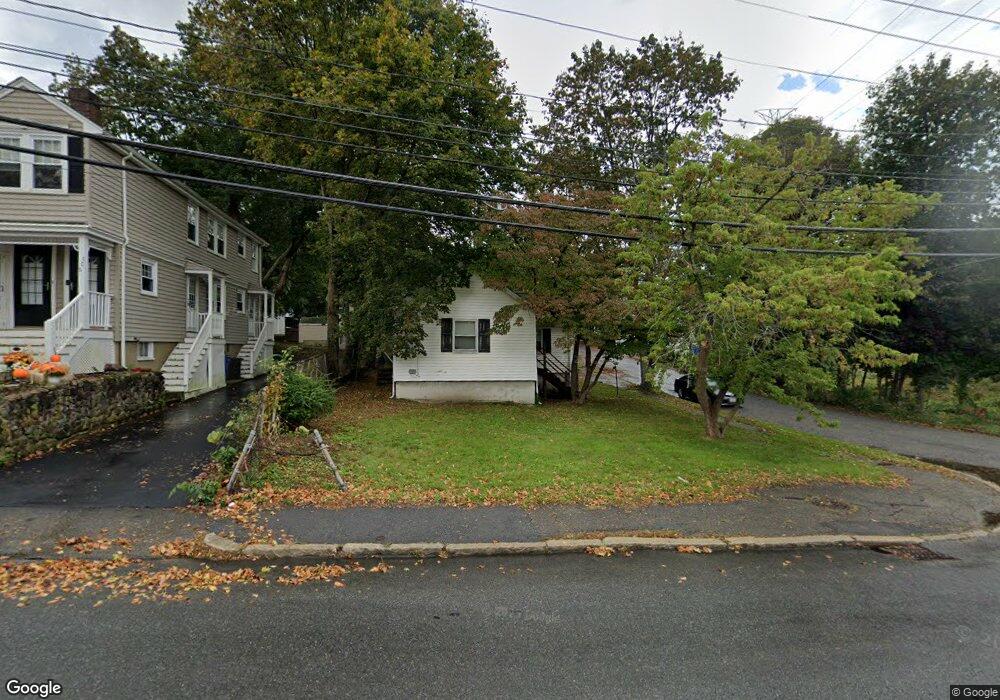
116 Stow St Waltham, MA 02453
Estimated Value: $626,000 - $664,000
2
Beds
1
Bath
850
Sq Ft
$768/Sq Ft
Est. Value
About This Home
This home is located at 116 Stow St, Waltham, MA 02453 and is currently estimated at $652,403, approximately $767 per square foot. 116 Stow St is a home located in Middlesex County with nearby schools including Thomas R Plympton Elementary School, John F Kennedy Middle School, and Waltham Sr High School.
Ownership History
Date
Name
Owned For
Owner Type
Purchase Details
Closed on
Sep 20, 2001
Sold by
Dart Daniel L
Bought by
Stascavage Bryan R
Current Estimated Value
Home Financials for this Owner
Home Financials are based on the most recent Mortgage that was taken out on this home.
Original Mortgage
$155,000
Outstanding Balance
$60,398
Interest Rate
6.98%
Mortgage Type
Purchase Money Mortgage
Estimated Equity
$592,005
Purchase Details
Closed on
Jan 19, 1990
Sold by
Dart Susan
Bought by
Dart Daniel L
Create a Home Valuation Report for This Property
The Home Valuation Report is an in-depth analysis detailing your home's value as well as a comparison with similar homes in the area
Home Values in the Area
Average Home Value in this Area
Purchase History
| Date | Buyer | Sale Price | Title Company |
|---|---|---|---|
| Stascavage Bryan R | $230,000 | -- | |
| Dart Daniel L | $100,000 | -- |
Source: Public Records
Mortgage History
| Date | Status | Borrower | Loan Amount |
|---|---|---|---|
| Open | Stascavage Bryan R | $155,000 | |
| Previous Owner | Dart Daniel L | $165,000 | |
| Previous Owner | Dart Daniel L | $166,000 |
Source: Public Records
Tax History Compared to Growth
Tax History
| Year | Tax Paid | Tax Assessment Tax Assessment Total Assessment is a certain percentage of the fair market value that is determined by local assessors to be the total taxable value of land and additions on the property. | Land | Improvement |
|---|---|---|---|---|
| 2025 | $5,391 | $549,000 | $378,400 | $170,600 |
| 2024 | $5,205 | $539,900 | $371,400 | $168,500 |
| 2023 | $5,128 | $496,900 | $336,400 | $160,500 |
| 2022 | $5,152 | $462,500 | $308,400 | $154,100 |
| 2021 | $5,118 | $452,100 | $308,400 | $143,700 |
| 2020 | $5,008 | $419,100 | $287,300 | $131,800 |
| 2019 | $4,867 | $384,400 | $270,900 | $113,500 |
| 2018 | $4,421 | $350,600 | $250,900 | $99,700 |
| 2017 | $4,122 | $328,200 | $228,500 | $99,700 |
| 2016 | $3,966 | $324,000 | $224,300 | $99,700 |
| 2015 | $3,801 | $289,500 | $196,200 | $93,300 |
Source: Public Records
Map
Nearby Homes
- 15 Dorchester St
- 62 Florence Rd
- 145 Virginia Rd
- 51 Caldwell Rd
- 202 Bear Hill Rd
- 5 Cunningham Cir
- 45 Forest Ridge Rd
- 61 Boynton St
- 36 Boynton St
- 31 Weston St Unit 2
- 17 Lexington St
- 79-81 Vernon St
- 12-14 Elson Rd
- 948 Main St Unit 209
- 948 Main St Unit 105
- 15 Hobbs Brook Rd
- 15 Banks St Unit 4
- 43-45 Welligton Unit 3
- 30 Page Rd
- 47 Rich St Unit 2