116 Sylvis St Dickson, TN 37055
About This Home
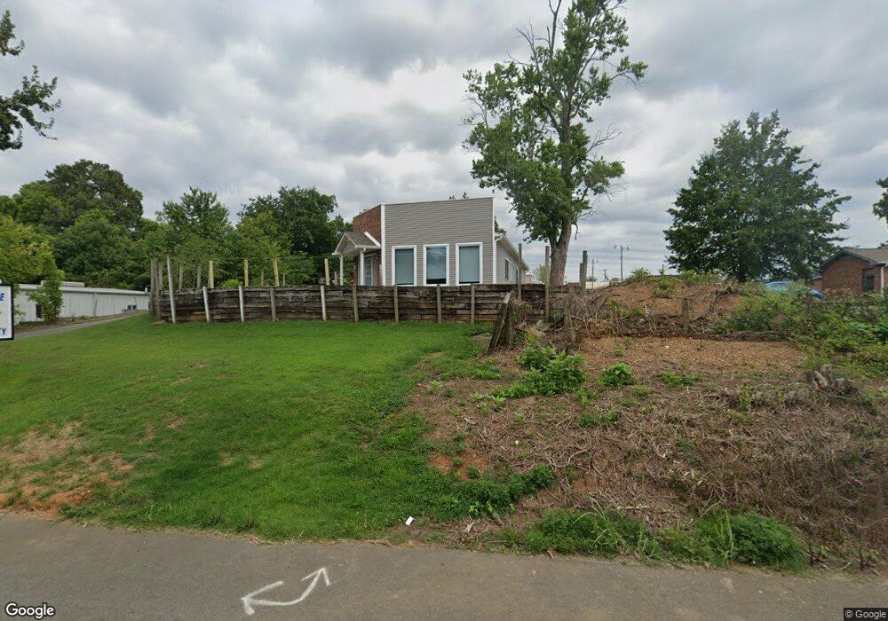
This home is located at 116 Sylvis St, Dickson, TN 37055. 116 Sylvis St is a home located in Dickson County with nearby schools including Centennial Elementary School, Dickson Middle School, and Dickson County High School.
Ownership History
We collect this data history from publicly available records. To have your information removed, we recommend requesting removal directly through your county’s website.
Purchase Details
Purchase Details
Purchase Details
Purchase Details
Purchase Details
Purchase Details
Home Values in the Area
Average Home Value in this Area
Purchase History
We collect this data history from publicly available records. To have your information removed, we recommend requesting removal directly through your county’s website.
| Date | Buyer | Sale Price | Title Company |
|---|---|---|---|
| $142,500 | -- | ||
| $110,000 | -- | ||
| -- | -- | ||
| -- | -- | ||
| -- | -- | ||
| -- | -- |
Tax History
We collect this data history from publicly available records. To have your information removed, we recommend requesting removal directly through your county’s website.
| Year | Tax Paid | Tax Assessment Tax Assessment Total Assessment is a certain percentage of the fair market value that is determined by local assessors to be the total taxable value of land and additions on the property. | Land | Improvement |
|---|---|---|---|---|
| 2025 | -- | $99,400 | $64,720 | $34,680 |
| 2024 | -- | $99,400 | $64,720 | $34,680 |
| 2023 | $2,398 | $76,760 | $51,080 | $25,680 |
| 2022 | $2,398 | $76,760 | $51,080 | $25,680 |
| 2021 | $2,398 | $76,760 | $51,080 | $25,680 |
| 2020 | $2,398 | $76,760 | $51,080 | $25,680 |
| 2019 | $2,398 | $76,760 | $51,080 | $25,680 |
| 2018 | $0 | $0 | $0 | $0 |
| 2017 | $0 | $0 | $0 | $0 |
| 2016 | $1,262 | $34,590 | $11,520 | $23,070 |
| 2015 | $1,342 | $34,590 | $11,520 | $23,070 |
| 2014 | $1,342 | $34,590 | $11,520 | $23,070 |
Map
- 223 N Main St
- 220 Darlington Dr
- 222 Darlington Dr
- 224 Darlington Dr
- 218 Darlington Dr
- 0 Truform Way Unit RTC3139035
- 0 Garton Rd Unit RTC3180478
- 209 Murrell St
- 202 W College St Unit 4
- 0 Henslee Dr Spring St Unit RTC3128657
- 300 W Railroad St
- 404 Murrell St
- 219 Mccreary Heights
- 1025 Northside Dr
- 207 Scott St
- 0 Mccreary Heights
- 501 W Chestnut St
- 430 Center Ave
- 701 W 5th St
- 101 Sunset Rd
Ask me questions while you tour the home.