116 Taft Terrace Sykesville, MD 21784
Estimated Value: $417,000 - $491,000
--
Bed
2
Baths
1,400
Sq Ft
$324/Sq Ft
Est. Value
About This Home
This home is located at 116 Taft Terrace, Sykesville, MD 21784 and is currently estimated at $452,990, approximately $323 per square foot. 116 Taft Terrace is a home located in Carroll County with nearby schools including Linton Springs Elementary School, Sykesville Middle School, and Century High School.
Ownership History
Date
Name
Owned For
Owner Type
Purchase Details
Closed on
Mar 10, 1998
Sold by
Delciello Larry T
Bought by
Skiles Rodney and Skiles Laura
Current Estimated Value
Purchase Details
Closed on
Oct 8, 1987
Sold by
Amrein Ralph H
Bought by
Delciello Larry T
Home Financials for this Owner
Home Financials are based on the most recent Mortgage that was taken out on this home.
Original Mortgage
$100,000
Interest Rate
11.18%
Purchase Details
Closed on
Aug 31, 1983
Sold by
Sinnette James E
Bought by
Amrein Ralph H
Create a Home Valuation Report for This Property
The Home Valuation Report is an in-depth analysis detailing your home's value as well as a comparison with similar homes in the area
Home Values in the Area
Average Home Value in this Area
Purchase History
| Date | Buyer | Sale Price | Title Company |
|---|---|---|---|
| Skiles Rodney | $157,000 | -- | |
| Delciello Larry T | $115,000 | -- | |
| Amrein Ralph H | $82,000 | -- |
Source: Public Records
Mortgage History
| Date | Status | Borrower | Loan Amount |
|---|---|---|---|
| Previous Owner | Delciello Larry T | $100,000 |
Source: Public Records
Tax History Compared to Growth
Tax History
| Year | Tax Paid | Tax Assessment Tax Assessment Total Assessment is a certain percentage of the fair market value that is determined by local assessors to be the total taxable value of land and additions on the property. | Land | Improvement |
|---|---|---|---|---|
| 2025 | $4,029 | $363,067 | $0 | $0 |
| 2024 | $4,029 | $359,400 | $171,100 | $188,300 |
| 2023 | $3,839 | $341,500 | $0 | $0 |
| 2022 | $3,657 | $323,600 | $0 | $0 |
| 2021 | $6,967 | $305,700 | $132,100 | $173,600 |
| 2020 | $3,503 | $304,667 | $0 | $0 |
| 2019 | $3,491 | $303,633 | $0 | $0 |
| 2018 | $3,449 | $302,600 | $132,100 | $170,500 |
| 2017 | $3,407 | $298,867 | $0 | $0 |
| 2016 | -- | $295,133 | $0 | $0 |
| 2015 | -- | $291,400 | $0 | $0 |
| 2014 | -- | $286,600 | $0 | $0 |
Source: Public Records
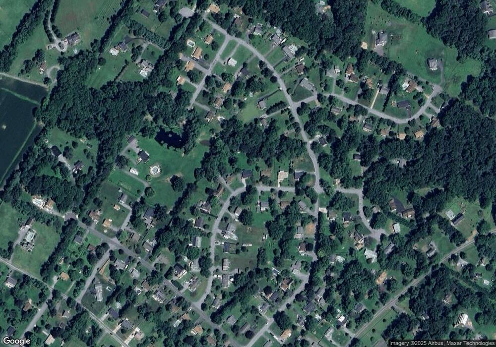
Map
Nearby Homes
- 418 Ross Dr
- 4114 Old Washington Rd
- 601 Sherry Dr
- 0 Bear Branch Rd
- 0 Klees Mill Rd
- 4145 London Bridge Rd
- 112 E Nicodemus Rd
- HS1 Kenard Dr
- 832 Chanter Dr
- 970 Oak Tree Rd
- 42 Liberty Rd
- 42 Liberty Rd Unit D
- 5530 Jim Pickett Rd
- 1110 Algernon Dr
- 224 Old Liberty Rd
- 4201 Poole Rd
- 610 Okemo Dr
- 3526 Ellen Dr
- 5615 Bartholow Rd
- 3403 Woodglen Ct
- 114 Taft Terrace
- 120 Taft Terrace
- 111 Taft Terrace
- 112 Taft Terrace
- 117 Taft Terrace
- 121 Taft Terrace
- 4218 Jefferson Ave
- 4216 Jefferson Ave
- 110 Taft Terrace
- 122 Taft Terrace
- 109 Taft Terrace
- 123 Taft Terrace
- 4209 Washington Way
- 4212 Jefferson Ave
- 4302 Jefferson Ave
- 4207 Washington Way
- 107 Taft Terrace
- 4219 Jefferson Ave
- 4300 Washington Way
- 201 Lincoln Ln