116 Thorndike St Dunstable, MA 01827
Estimated Value: $765,000 - $963,000
Studio
--
Bath
1,830
Sq Ft
$471/Sq Ft
Est. Value
About This Home
This home is located at 116 Thorndike St, Dunstable, MA 01827 and is currently estimated at $861,265, approximately $470 per square foot. 116 Thorndike St is a home located in Middlesex County with nearby schools including Groton Dunstable Regional High School and 2nd Nature Academy.
Ownership History
Date
Name
Owned For
Owner Type
Purchase Details
Closed on
Apr 8, 2022
Sold by
Russell Ft and Russell
Bought by
Bernier Gregory and Russell James L
Current Estimated Value
Purchase Details
Closed on
Jun 26, 2020
Sold by
Russell Rosemarie and Russell James L
Bought by
Russell Ft and Russell
Purchase Details
Closed on
Sep 26, 2016
Sold by
Russell Rosemarie and Russell James A
Bought by
Russell Rosemarie and Russell James A
Create a Home Valuation Report for This Property
The Home Valuation Report is an in-depth analysis detailing your home's value as well as a comparison with similar homes in the area
Home Values in the Area
Average Home Value in this Area
Purchase History
| Date | Buyer | Sale Price | Title Company |
|---|---|---|---|
| Bernier Gregory | -- | None Available | |
| Russell Ft | -- | None Available | |
| Russell Rosemarie | -- | -- |
Source: Public Records
Tax History
| Year | Tax Paid | Tax Assessment Tax Assessment Total Assessment is a certain percentage of the fair market value that is determined by local assessors to be the total taxable value of land and additions on the property. | Land | Improvement |
|---|---|---|---|---|
| 2025 | $10,171 | $739,700 | $251,000 | $488,700 |
| 2024 | $9,800 | $702,000 | $235,700 | $466,300 |
| 2023 | $3,707 | $247,600 | $235,700 | $11,900 |
| 2022 | $199 | $13,046 | $1,146 | $11,900 |
| 2021 | $212 | $12,945 | $1,045 | $11,900 |
| 2020 | $218 | $12,945 | $1,045 | $11,900 |
| 2019 | $220 | $12,923 | $1,023 | $11,900 |
| 2018 | $227 | $12,966 | $1,066 | $11,900 |
| 2017 | $223 | $13,099 | $1,199 | $11,900 |
| 2016 | $246 | $14,859 | $959 | $13,900 |
| 2015 | $264 | $15,804 | $1,904 | $13,900 |
| 2014 | $249 | $15,804 | $1,904 | $13,900 |
Source: Public Records
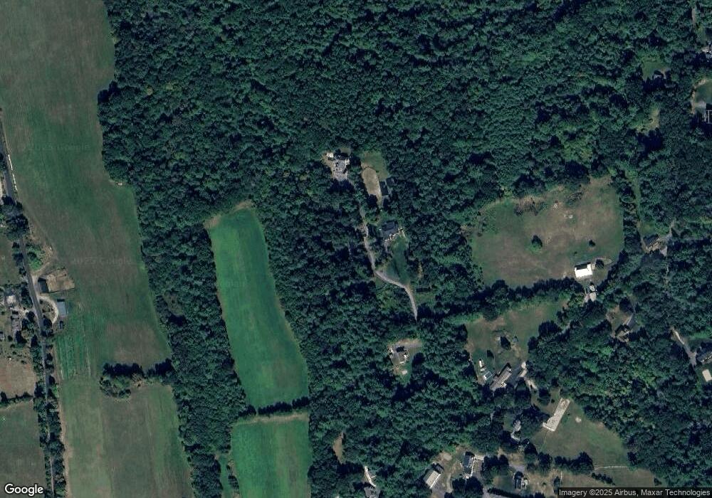
Map
Nearby Homes
- 6 Green Heron Ln Unit U22
- 38 Georgetown Dr
- 11 Lojko Dr
- 20 Georgetown Dr
- 141 Ridge Rd
- 2 Strawberry Bank Rd Unit 17
- 58 Wilderness Dr
- 4 Heritage Village Dr
- 8 Wilderness Dr
- 65 Wilderness Dr
- 77 Wilderness Dr
- 1 Doucet Ave
- 1 Wilderness Dr
- 4 Wilderness Dr
- 2 Wilderness Dr
- 79 Wilderness Dr
- 8 Hikers Ln
- 4 Hikers Ln
- 3 Wilderness Dr
- 57 Wilderness Dr
- 112 Thorndike St
- 108 Thorndike St
- 120 Thorndike St
- 144 Thorndike St
- 115 Thorndike St
- 104 Thorndike St
- 68 Thorndike St
- 143 Thorndike St
- 103 Thorndike St
- 160 Thorndike St
- 93 Thorndike St
- 1 Forest St
- 2 Forest St
- 4 Forest St
- 22 French Ct
- 69 Thorndike St
- 32 French Ct
- 288 High St
- 26 Thorndike St
- 27 French Ct
Your Personal Tour Guide
Ask me questions while you tour the home.