Estimated Value: $73,735 - $228,000
Studio
--
Bath
1,344
Sq Ft
$86/Sq Ft
Est. Value
About This Home
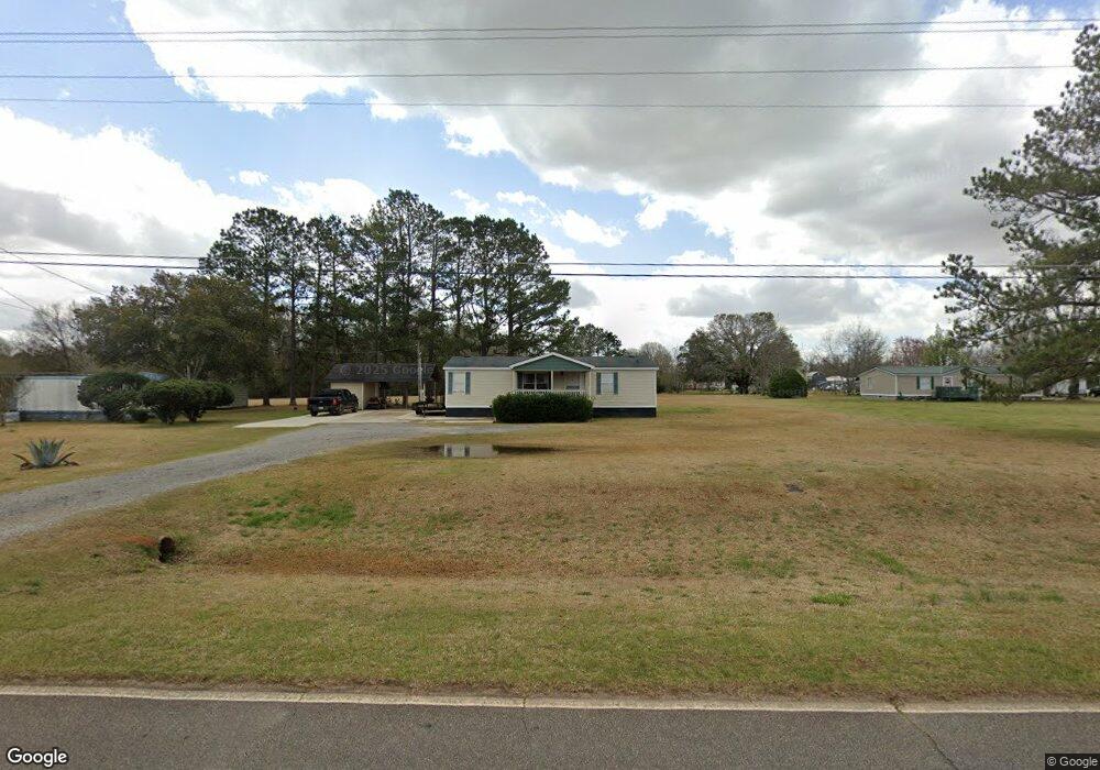
This home is located at 116 Todd Rd, Perry, GA 31069 and is currently estimated at $114,934, approximately $85 per square foot. 116 Todd Rd is a home located in Houston County with nearby schools including Langston Road Elementary School, Mossy Creek Middle School, and Perry High School.
Ownership History
Date
Name
Owned For
Owner Type
Purchase Details
Closed on
Jul 25, 2014
Sold by
Smith Development Inc
Bought by
Perez Yency Gabriela
Current Estimated Value
Home Financials for this Owner
Home Financials are based on the most recent Mortgage that was taken out on this home.
Original Mortgage
$244
Outstanding Balance
$11
Interest Rate
4.19%
Mortgage Type
New Conventional
Estimated Equity
$114,923
Purchase Details
Closed on
Dec 2, 2003
Sold by
Miller George F-Tax Sale
Bought by
Value First Inc
Purchase Details
Closed on
Jun 21, 1996
Sold by
Humphrey Michael J
Bought by
Miller George F
Purchase Details
Closed on
Jan 1, 1994
Sold by
Robins Federal Credit Union
Bought by
Humphrey Michael J
Purchase Details
Closed on
Dec 1, 1993
Sold by
Taylor Henry G
Bought by
Robins Federal Credit Union
Purchase Details
Closed on
Aug 14, 1984
Sold by
Graham Eugene
Bought by
Taylor Henry G
Purchase Details
Closed on
Apr 3, 1984
Bought by
Graham Eugene
Create a Home Valuation Report for This Property
The Home Valuation Report is an in-depth analysis detailing your home's value as well as a comparison with similar homes in the area
Home Values in the Area
Average Home Value in this Area
Purchase History
| Date | Buyer | Sale Price | Title Company |
|---|---|---|---|
| Perez Yency Gabriela | $28,000 | -- | |
| Smith Development Inc | -- | -- | |
| Value First Inc | -- | -- | |
| Miller George F | $15,000 | -- | |
| Humphrey Michael J | -- | -- | |
| Robins Federal Credit Union | -- | -- | |
| Taylor Henry G | -- | -- | |
| Graham Eugene | -- | -- |
Source: Public Records
Mortgage History
| Date | Status | Borrower | Loan Amount |
|---|---|---|---|
| Open | Smith Development Inc | $244 |
Source: Public Records
Tax History
| Year | Tax Paid | Tax Assessment Tax Assessment Total Assessment is a certain percentage of the fair market value that is determined by local assessors to be the total taxable value of land and additions on the property. | Land | Improvement |
|---|---|---|---|---|
| 2025 | $217 | $9,920 | $8,320 | $1,600 |
| 2024 | $237 | $9,920 | $8,320 | $1,600 |
| 2023 | $240 | $9,920 | $8,320 | $1,600 |
| 2022 | $240 | $9,920 | $8,320 | $1,600 |
| 2021 | $222 | $12,289 | $0 | $12,289 |
| 2020 | $223 | $12,289 | $0 | $12,289 |
| 2019 | $223 | $5,889 | $0 | $5,889 |
| 2018 | $223 | $5,889 | $0 | $5,889 |
| 2017 | $223 | $9,120 | $8,320 | $800 |
| 2016 | $223 | $9,120 | $8,320 | $800 |
| 2015 | $224 | $9,120 | $8,320 | $800 |
Source: Public Records
Map
Nearby Homes
- 108 Chimney Rock Rd
- 105 Senimor Ct
- 501 Longhorn Trail
- 309 Bermuda Ridge
- 204 Greylock Dr
- 113 Lake Lillian Dr
- 108 Tahoma Dr
- 502 Arons Ct
- 127 Bramblewood Ln
- 117 Bramblewood Ln
- 119 Bramblewood Ln
- 115 Bramblewood Ln
- 0 MacK Thompson Rd Unit 253661
- 149 MacK Thompson Road Common
- 0 Hwy 41 & Langston Rd Unit M170042
- 150 MacK Thompson Rd
- 0 Langston Rd Unit 16828609
- 111 Breakwater Way
- 118 Bramblewood Way
- 2327 Us Hwy 41
Your Personal Tour Guide
Ask me questions while you tour the home.