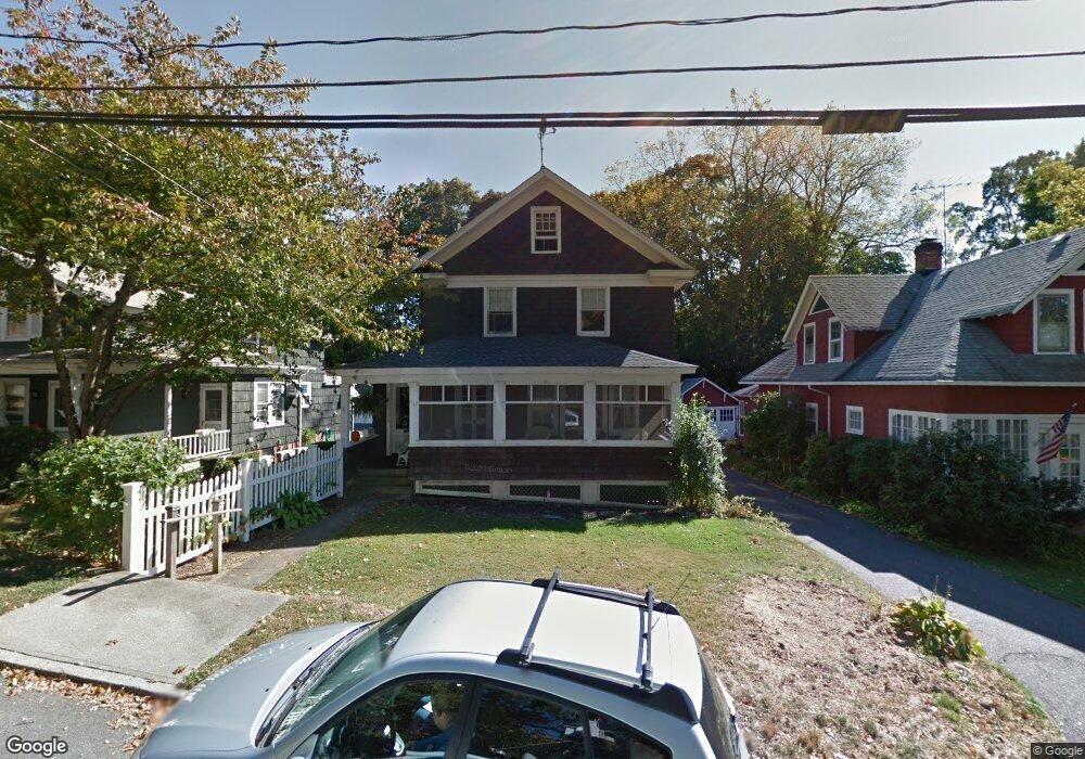
116 Tuthill St Port Jefferson, NY 11777
Estimated Value: $671,000 - $716,919
--
Bed
--
Bath
--
Sq Ft
5,227
Sq Ft Lot
About This Home
This home is located at 116 Tuthill St, Port Jefferson, NY 11777 and is currently estimated at $693,960. 116 Tuthill St is a home located in Suffolk County with nearby schools including Edna Louise Spear Elementary, Port Jefferson Middle School, and Earl L Vandermeulen High School.
Ownership History
Date
Name
Owned For
Owner Type
Purchase Details
Closed on
Feb 1, 2010
Sold by
Bowra Anita
Bought by
Erickson Christa K and Regan Alanna D
Current Estimated Value
Home Financials for this Owner
Home Financials are based on the most recent Mortgage that was taken out on this home.
Original Mortgage
$396,000
Outstanding Balance
$263,263
Interest Rate
5.12%
Mortgage Type
Purchase Money Mortgage
Estimated Equity
$430,697
Create a Home Valuation Report for This Property
The Home Valuation Report is an in-depth analysis detailing your home's value as well as a comparison with similar homes in the area
Home Values in the Area
Average Home Value in this Area
Purchase History
| Date | Buyer | Sale Price | Title Company |
|---|---|---|---|
| Erickson Christa K | $450,000 | -- |
Source: Public Records
Mortgage History
| Date | Status | Borrower | Loan Amount |
|---|---|---|---|
| Open | Erickson Christa K | $396,000 |
Source: Public Records
Tax History Compared to Growth
Tax History
| Year | Tax Paid | Tax Assessment Tax Assessment Total Assessment is a certain percentage of the fair market value that is determined by local assessors to be the total taxable value of land and additions on the property. | Land | Improvement |
|---|---|---|---|---|
| 2024 | $6,635 | $2,330 | $330 | $2,000 |
| 2023 | $6,635 | $2,330 | $330 | $2,000 |
| 2022 | $4,800 | $2,330 | $330 | $2,000 |
| 2021 | $4,800 | $2,330 | $330 | $2,000 |
| 2020 | $5,903 | $2,330 | $330 | $2,000 |
| 2019 | $5,878 | $0 | $0 | $0 |
| 2018 | $4,672 | $2,330 | $330 | $2,000 |
| 2017 | $4,672 | $2,330 | $330 | $2,000 |
| 2016 | $4,675 | $2,330 | $330 | $2,000 |
| 2015 | -- | $2,330 | $330 | $2,000 |
| 2014 | -- | $2,330 | $330 | $2,000 |
Source: Public Records
Map
Nearby Homes
- 109 Spring St
- 515 High St Unit 17
- 127 Barnum Ave
- 303 E Main St
- 111 Campbell St
- 110 E Broadway
- 22 Vantage Ct
- 213 Maiden Ln
- 105 Willis Ave
- 5 Princess Tree Ct
- 0 Belle Terre Rd
- 125 Bleeker St
- 319 Thompson St
- 330 E Broadway
- 1 Oakwood Rd
- 24 Midland Ave
- 0 Dark Hollow Rd
- 101 Wilson Dr
- 95 Sheep Pasture Rd
- 106 Lowell Place