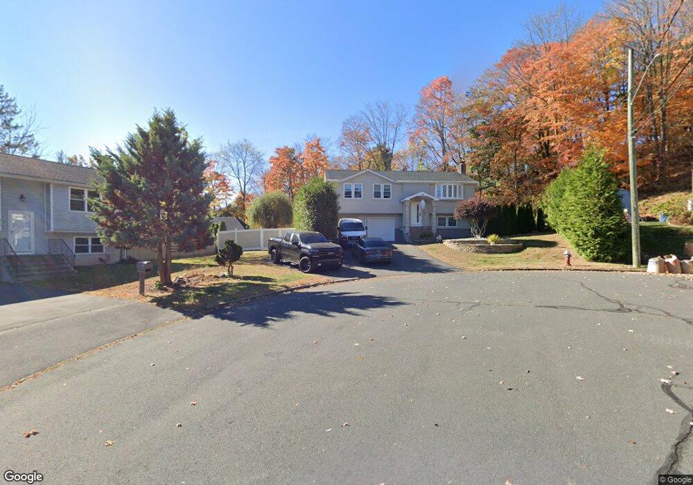
116 Varmor Dr New Britain, CT 06053
Estimated Value: $362,000 - $402,000
3
Beds
3
Baths
1,448
Sq Ft
$262/Sq Ft
Est. Value
About This Home
This home is located at 116 Varmor Dr, New Britain, CT 06053 and is currently estimated at $379,116, approximately $261 per square foot. 116 Varmor Dr is a home located in Hartford County with nearby schools including Holmes School, Pulaski Middle School, and St. Francis of Assisi Middle School.
Ownership History
Date
Name
Owned For
Owner Type
Purchase Details
Closed on
Jul 28, 2014
Sold by
Halas Agnieszka
Bought by
Krukowski Michal and Halas Maria
Current Estimated Value
Purchase Details
Closed on
Nov 21, 2007
Sold by
Lipinski Stanislaw and Lipinski Krystyna
Bought by
Halas Agnieszka M and Halas Maria
Home Financials for this Owner
Home Financials are based on the most recent Mortgage that was taken out on this home.
Original Mortgage
$220,260
Interest Rate
6.42%
Create a Home Valuation Report for This Property
The Home Valuation Report is an in-depth analysis detailing your home's value as well as a comparison with similar homes in the area
Home Values in the Area
Average Home Value in this Area
Purchase History
| Date | Buyer | Sale Price | Title Company |
|---|---|---|---|
| Krukowski Michal | -- | -- | |
| Halas Agnieszka | -- | -- | |
| Halas Agnieszka M | $222,000 | -- |
Source: Public Records
Mortgage History
| Date | Status | Borrower | Loan Amount |
|---|---|---|---|
| Previous Owner | Halas Agnieszka M | $223,550 | |
| Previous Owner | Halas Agnieszka M | $220,260 |
Source: Public Records
Tax History
| Year | Tax Paid | Tax Assessment Tax Assessment Total Assessment is a certain percentage of the fair market value that is determined by local assessors to be the total taxable value of land and additions on the property. | Land | Improvement |
|---|---|---|---|---|
| 2025 | $7,523 | $192,010 | $76,510 | $115,500 |
| 2024 | $7,602 | $192,010 | $76,510 | $115,500 |
| 2023 | $7,350 | $192,010 | $76,510 | $115,500 |
| 2022 | $7,041 | $142,240 | $53,480 | $88,760 |
| 2021 | $7,041 | $142,240 | $53,480 | $88,760 |
| 2020 | $7,183 | $142,240 | $53,480 | $88,760 |
| 2019 | $7,183 | $142,240 | $53,480 | $88,760 |
| 2018 | $7,183 | $142,240 | $53,480 | $88,760 |
| 2017 | $5,953 | $117,880 | $35,700 | $82,180 |
| 2016 | $5,953 | $117,880 | $35,700 | $82,180 |
| 2015 | $5,776 | $117,880 | $35,700 | $82,180 |
| 2014 | $5,776 | $117,880 | $35,700 | $82,180 |
Source: Public Records
Map
Nearby Homes
- 172 Batterson Dr
- 57 Merigold Dr
- 160 Brittany Farms Rd Unit D
- 165 Bradford Walk Unit 165
- 43 Robin Rd
- 678 Farmington Ave
- 89 Hazelmere Rd
- 2453 Corbin Ave
- 5 Yorkshire Ct Unit 5
- 24 Pentlow Ave
- 1 Yorkshire Ct Unit 1
- 281 South Rd
- 153 Horseplain Rd
- 1114 Fienemann Rd
- 432 Mcclintock St
- 45 Tunxis St
- 1634 Stanley St
- 78 Birdseye Rd
- 316 South Rd
- 497 Commonwealth Ave
- 110 Varmor Dr
- 293 Batterson Dr
- 117 Varmor Dr
- 159 Country Club Rd
- 155 Country Club Rd
- 163 Country Club Rd
- 102 Varmor Dr
- 151 Country Club Rd
- 294 Batterson Dr
- 169 Country Club Rd
- 111 Varmor Dr
- 145 Country Club Rd
- 287 Batterson Dr
- 175 Country Club Rd
- 139 Country Club Rd
- 103 Varmor Dr
- 94 Varmor Dr
- 133 Country Club Rd
- 181 Country Club Rd
- 288 Batterson Dr
Your Personal Tour Guide
Ask me questions while you tour the home.