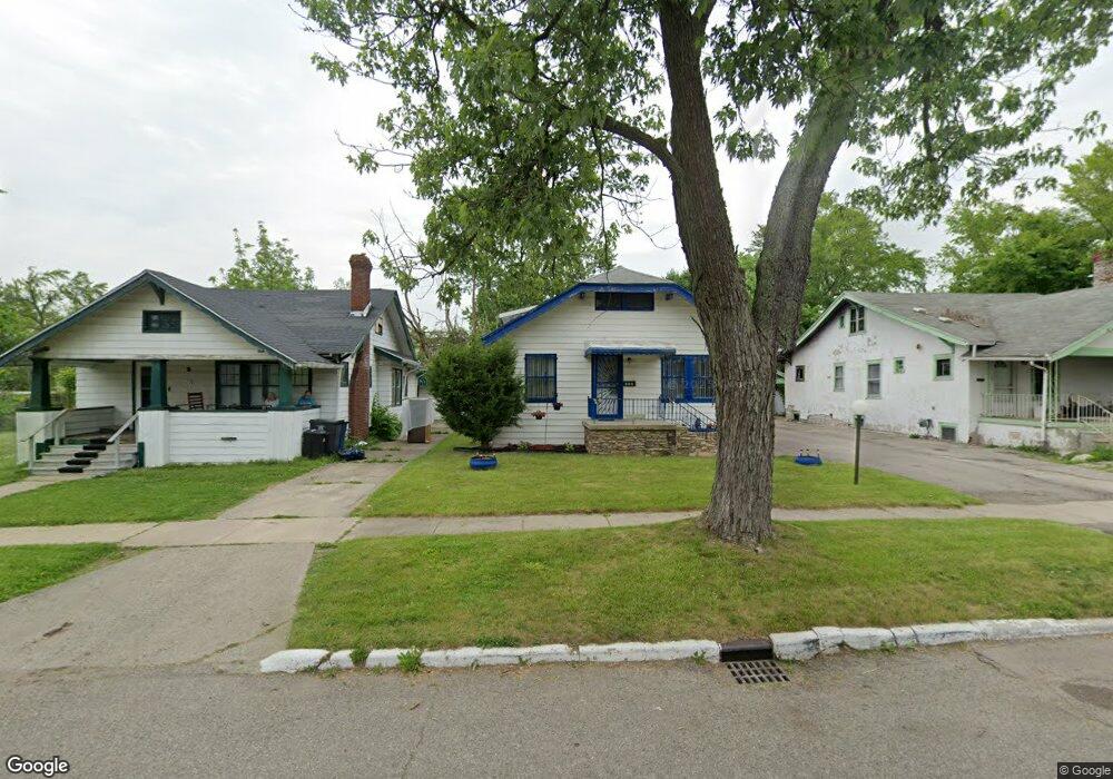
116 W Baker St Flint, MI 48505
King Avenue Plus NeighborhoodEstimated Value: $37,000 - $72,000
3
Beds
1
Bath
1,036
Sq Ft
$50/Sq Ft
Est. Value
About This Home
This home is located at 116 W Baker St, Flint, MI 48505 and is currently estimated at $52,066, approximately $50 per square foot. 116 W Baker St is a home located in Genesee County with nearby schools including Brownell STEM Academy, Flint Cultural Center Academy, and Greater Heights Academy.
Ownership History
Date
Name
Owned For
Owner Type
Purchase Details
Closed on
Jan 30, 2015
Sold by
Genesee County Land Bank Authority
Bought by
Johnson Phill and Charelston Chelsey
Current Estimated Value
Purchase Details
Closed on
Dec 27, 2012
Sold by
Salem Housing Community Development Corp
Bought by
Genesee County Land Bank Authority
Purchase Details
Closed on
Dec 30, 2010
Sold by
Hopkson Montgomery Norris and Hopkson Edmonds Jacqueline
Bought by
Salem Housing Community Development Corp
Create a Home Valuation Report for This Property
The Home Valuation Report is an in-depth analysis detailing your home's value as well as a comparison with similar homes in the area
Home Values in the Area
Average Home Value in this Area
Purchase History
| Date | Buyer | Sale Price | Title Company |
|---|---|---|---|
| Johnson Phill | $2,000 | Sargents Title Company | |
| Genesee County Land Bank Authority | -- | None Available | |
| Salem Housing Community Development Corp | -- | Sargents Title Company |
Source: Public Records
Tax History Compared to Growth
Tax History
| Year | Tax Paid | Tax Assessment Tax Assessment Total Assessment is a certain percentage of the fair market value that is determined by local assessors to be the total taxable value of land and additions on the property. | Land | Improvement |
|---|---|---|---|---|
| 2025 | $727 | $12,800 | $0 | $0 |
| 2024 | $683 | $12,600 | $0 | $0 |
| 2023 | $675 | $12,000 | $0 | $0 |
| 2022 | $0 | $10,400 | $0 | $0 |
| 2021 | $679 | $9,800 | $0 | $0 |
| 2020 | $635 | $6,300 | $0 | $0 |
| 2019 | $628 | $5,500 | $0 | $0 |
| 2018 | $605 | $5,500 | $0 | $0 |
| 2017 | $628 | $0 | $0 | $0 |
| 2016 | $669 | $0 | $0 | $0 |
| 2015 | -- | $0 | $0 | $0 |
| 2014 | -- | $0 | $0 | $0 |
| 2012 | -- | $8,800 | $0 | $0 |
Source: Public Records
Map
Nearby Homes
- 115 W Baker St
- 218 E Jackson Ave
- 2913
- 2913 Martin Luther King Ave
- 2217 Francis Ave
- 311 W Genesee St
- 200 W Mcclellan St
- 409 W Genesee St
- 506 Green St
- 325 W Paterson St
- 2718 N Chevrolet Ave
- 235 Page St
- 429 Page St
- 1606 Garland St
- 3422 Race St
- 1101 W Rankin St
- 341 Crosby St
- 1013 W Hamilton Ave
- 1648 Euclid Ave
- 1645 Seminole St
- 120 W Baker St
- 112 W Baker St
- 115 W Rankin St
- 113 W Rankin St
- 119 W Rankin St
- 123 W Rankin St
- 2557 M l King Ave
- 130 W Baker St
- 111 W Baker St
- 2563 M l King Ave
- 119 W Baker St
- 123 W Baker St
- 134 W Baker St
- 125 W Baker St
- 131 W Rankin St
- 129 W Baker St
- 200 W Baker St
- 116 W Rankin St
- 114 W Rankin St
- 120 W Rankin St