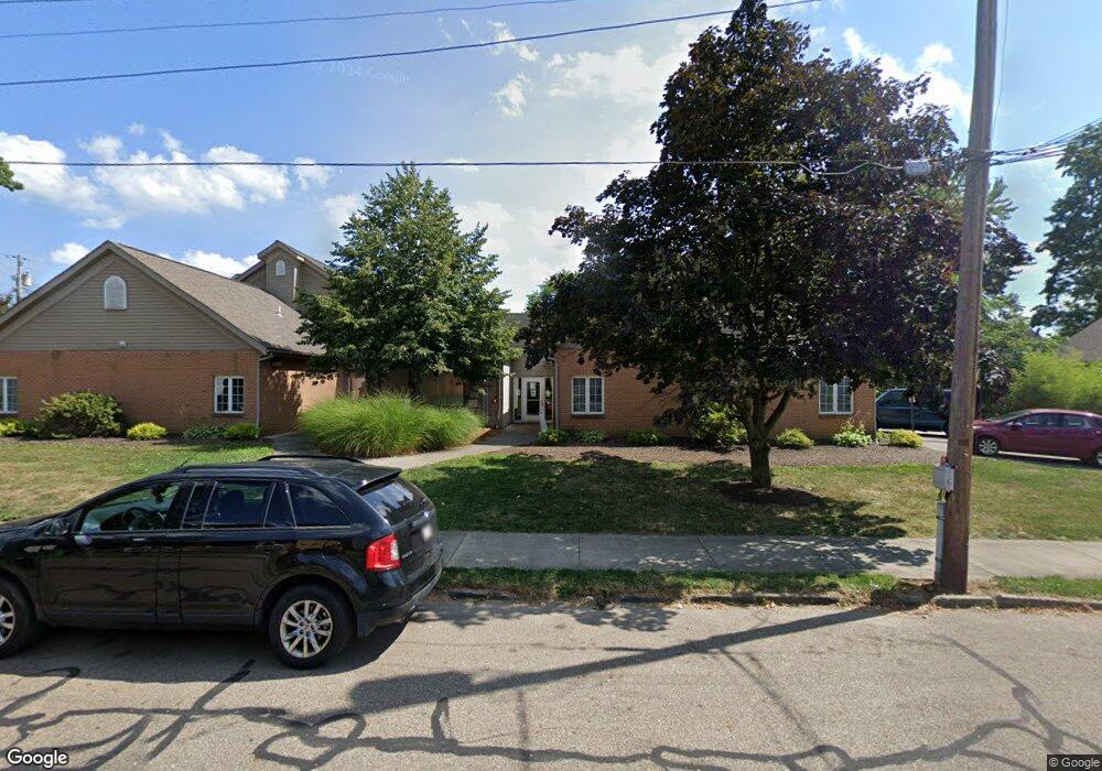
116 W Cambridge St Alliance, OH 44601
Estimated Value: $31,332 - $71,000
Studio
1
Bath
--
Sq Ft
5,401
Sq Ft Lot
About This Home
This home is located at 116 W Cambridge St, Alliance, OH 44601 and is currently estimated at $54,444. 116 W Cambridge St is a home located in Stark County with nearby schools including Alliance Early Learning School, Alliance Intermediate School at Northside, and Alliance Middle School.
Ownership History
Date
Name
Owned For
Owner Type
Purchase Details
Closed on
Apr 2, 2010
Sold by
Donohue Billy L and Donohue Connie G
Bought by
Donohue Jeffrey L
Current Estimated Value
Purchase Details
Closed on
Jun 5, 2007
Sold by
Weaver Janet L
Bought by
White Dennis L and White Heidi L
Purchase Details
Closed on
Oct 3, 2003
Sold by
Donohue Billy L and Donohue Connie G
Bought by
Donohue Jeffrey L and Donohue Billy L
Purchase Details
Closed on
Dec 11, 1996
Sold by
Simmons Timothy L
Bought by
Donohue Billy L and Donohue Connie
Create a Home Valuation Report for This Property
The Home Valuation Report is an in-depth analysis detailing your home's value as well as a comparison with similar homes in the area
Home Values in the Area
Average Home Value in this Area
Purchase History
| Date | Buyer | Sale Price | Title Company |
|---|---|---|---|
| Donohue Jeffrey L | $3,300 | Attorney | |
| White Dennis L | $37,500 | Attorney | |
| Donohue Jeffrey L | $6,600 | -- | |
| Donohue Billy L | $8,100 | -- |
Source: Public Records
Tax History
| Year | Tax Paid | Tax Assessment Tax Assessment Total Assessment is a certain percentage of the fair market value that is determined by local assessors to be the total taxable value of land and additions on the property. | Land | Improvement |
|---|---|---|---|---|
| 2025 | $7,647 | $2,000 | $2,000 | -- |
| 2024 | $7,179 | $2,000 | $2,000 | -- |
| 2023 | $6,992 | $1,090 | $1,090 | -- |
| 2022 | $45 | $1,090 | $1,090 | $0 |
| 2021 | $45 | $1,090 | $1,090 | $0 |
| 2020 | $42 | $950 | $950 | $0 |
| 2019 | $42 | $950 | $950 | $0 |
| 2018 | $42 | $950 | $950 | $0 |
| 2017 | $4,896 | $810 | $810 | $0 |
| 2016 | $4,443 | $810 | $810 | $0 |
| 2015 | $39 | $810 | $810 | $0 |
| 2014 | $734 | $700 | $700 | $0 |
| 2013 | $17 | $700 | $700 | $0 |
Source: Public Records
Map
Nearby Homes
- 621 S Haines Ave
- 233 W Cambridge St
- 807 S Union Ave
- 228 W Oxford St
- 427 S Union Ave
- 203 Glamorgan St
- 319 W Oxford St
- 46 Rosenberry St
- 535 S Mckinley Ave
- 234 Rosenberry St
- 726 S Arch Ave
- 134 11th St
- 231 Rosenberry St
- 264 W Market St
- 163 W Market St
- 479 W High St
- 226 Milner St
- 343 W Columbia St
- 118 S Mckinley Ave
- 167 11th St
- 641 Scranton Ave
- 120 W Cambridge St
- 102 W Cambridge St
- 102 104 W Cambridge
- 134 W Cambridge St
- 144 W Cambridge St
- 638 Keplinger Ave
- 115 W Cambridge St
- 634 Scranton Ave
- 103 W Cambridge St
- 125 W Cambridge St
- 649 Scranton Ave
- 632 Scranton Ave
- 646 Keplinger Ave
- 70 W Cambridge St
- 135 W Cambridge St
- 652 Scranton Ave
- 158 W Cambridge St
- 654 Keplinger Ave
- 81 W Cambridge St
Your Personal Tour Guide
Ask me questions while you tour the home.