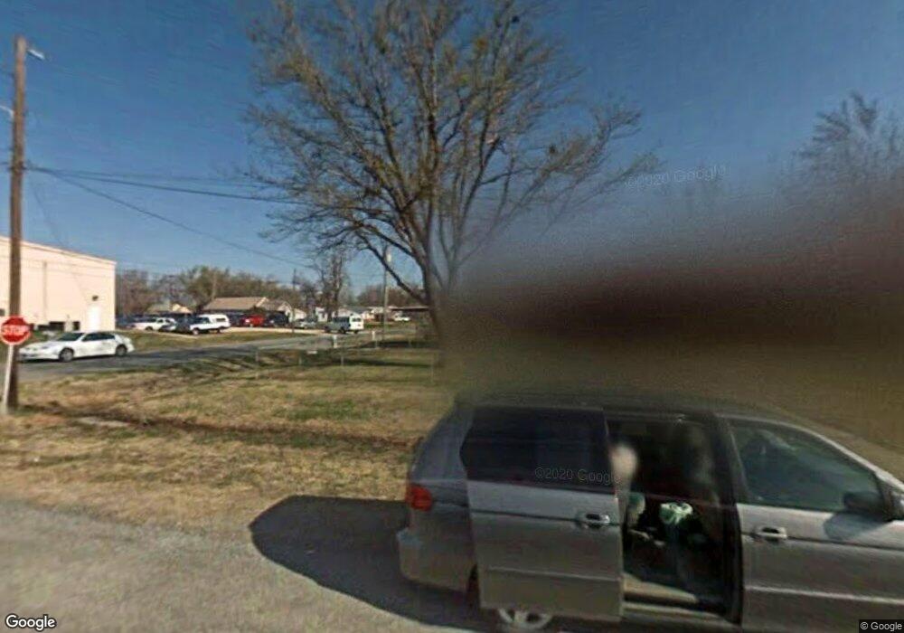
116 W Olney St Chouteau, OK 74337
Estimated Value: $201,000 - $232,524
3
Beds
2
Baths
1,889
Sq Ft
$112/Sq Ft
Est. Value
About This Home
This home is located at 116 W Olney St, Chouteau, OK 74337 and is currently estimated at $212,131, approximately $112 per square foot. 116 W Olney St is a home located in Mayes County with nearby schools including Chouteau-Mazie High School.
Ownership History
Date
Name
Owned For
Owner Type
Purchase Details
Closed on
Sep 10, 2018
Sold by
Benoit Danny B and Benoit Kriste
Bought by
Willyard Karen S
Current Estimated Value
Home Financials for this Owner
Home Financials are based on the most recent Mortgage that was taken out on this home.
Original Mortgage
$50,000
Outstanding Balance
$30,522
Interest Rate
4.5%
Mortgage Type
New Conventional
Estimated Equity
$181,609
Purchase Details
Closed on
Oct 11, 2006
Sold by
Crow Phyllis and Broyles Claudine
Bought by
Benoit Danny B and Benoit Kriste
Home Financials for this Owner
Home Financials are based on the most recent Mortgage that was taken out on this home.
Original Mortgage
$103,000
Interest Rate
6.44%
Mortgage Type
New Conventional
Create a Home Valuation Report for This Property
The Home Valuation Report is an in-depth analysis detailing your home's value as well as a comparison with similar homes in the area
Purchase History
| Date | Buyer | Sale Price | Title Company |
|---|---|---|---|
| Willyard Karen S | $110,000 | Mayes County Abstract | |
| Benoit Danny B | $103,000 | Mayes County Abstract Compan |
Source: Public Records
Mortgage History
| Date | Status | Borrower | Loan Amount |
|---|---|---|---|
| Open | Willyard Karen S | $50,000 | |
| Previous Owner | Benoit Danny B | $103,000 |
Source: Public Records
Tax History
| Year | Tax Paid | Tax Assessment Tax Assessment Total Assessment is a certain percentage of the fair market value that is determined by local assessors to be the total taxable value of land and additions on the property. | Land | Improvement |
|---|---|---|---|---|
| 2025 | $1,208 | $14,948 | $3,410 | $11,538 |
| 2023 | $1,174 | $13,866 | $3,234 | $10,632 |
| 2022 | $1,081 | $13,463 | $3,233 | $10,230 |
| 2021 | $1,100 | $13,071 | $3,153 | $9,918 |
| 2020 | $1,008 | $12,689 | $3,073 | $9,616 |
| 2019 | $961 | $12,320 | $2,931 | $9,389 |
| 2018 | $867 | $11,376 | $3,192 | $8,184 |
| 2017 | $883 | $11,376 | $3,192 | $8,184 |
| 2016 | $889 | $11,376 | $3,192 | $8,184 |
| 2015 | $919 | $11,376 | $3,192 | $8,184 |
| 2014 | $946 | $11,684 | $3,192 | $8,492 |
Source: Public Records
Map
Nearby Homes
- 1100 N Arapahoe Ave
- 250 Lake Crest Rd
- 401 W Harrison Ave
- 127 N 2nd St
- 113 S Wilder St
- 117 N Vann St
- 319 Tribute
- 213 E Main St
- 112 E Loy Ave
- 525 W Clay St
- 313 S Gray Ct
- 215 S 4th St
- 1301 S Chouteau Ave
- 1203 S Chouteau Ave
- 1701 N Hopi St
- 1294 Old Highway 33
- 1101 N Navajo St
- 1302 N Miami Ave
- 801 N Osage Ave
- 8782 S 432
- 208 N Mccracken St
- 108 W Olney St
- 207 N Mccracken St
- 123 N Mccracken St
- 211 Railroad St
- 211 S Railroad St
- 209 N Mccracken St
- 300 N Mccracken St
- 215 N Mccracken St
- 302 N Mccracken St
- 121 N Mccracken St
- 124 N Gray St
- 115 W Railroad St
- 219 N Mccracken St
- 304 N Mccracken St
- 211 Fay Ave
- 122 N Gray St
- 112 N Mccracken St
- 302 W Cherokee Ave
- 205 N Gray St
Your Personal Tour Guide
Ask me questions while you tour the home.
