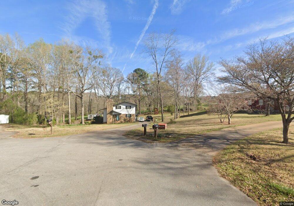
116 W Pyne Dr Lagrange, GA 30240
Estimated Value: $216,440 - $248,000
3
Beds
2
Baths
1,568
Sq Ft
$151/Sq Ft
Est. Value
About This Home
This home is located at 116 W Pyne Dr, Lagrange, GA 30240 and is currently estimated at $236,110, approximately $150 per square foot. 116 W Pyne Dr is a home located in Troup County with nearby schools including Ethel W. Kight Elementary School, Hollis Hand Elementary School, and Franklin Forest Elementary School.
Ownership History
Date
Name
Owned For
Owner Type
Purchase Details
Closed on
Jun 29, 1985
Sold by
Barganier Edward P and Barganier Evelyn S
Bought by
King Jimmy S
Current Estimated Value
Purchase Details
Closed on
Jun 24, 1985
Sold by
Lawyers Title Insurance Corp
Bought by
Barganier Edward P and Barganier Evelyn S
Purchase Details
Closed on
Oct 14, 1977
Sold by
Lewis Donald L
Bought by
Lawyers Title Insurance Corp
Purchase Details
Closed on
Jul 19, 1977
Sold by
Durand Harry D
Bought by
Lewis Donald L
Purchase Details
Closed on
Oct 14, 1975
Sold by
Overcash
Bought by
Durand Harry D
Create a Home Valuation Report for This Property
The Home Valuation Report is an in-depth analysis detailing your home's value as well as a comparison with similar homes in the area
Purchase History
| Date | Buyer | Sale Price | Title Company |
|---|---|---|---|
| King Jimmy S | $58,000 | -- | |
| Barganier Edward P | $122,000 | -- | |
| Lawyers Title Insurance Corp | $38,500 | -- | |
| Lewis Donald L | $5,500 | -- | |
| Durand Harry D | $22,500 | -- |
Source: Public Records
Tax History
| Year | Tax Paid | Tax Assessment Tax Assessment Total Assessment is a certain percentage of the fair market value that is determined by local assessors to be the total taxable value of land and additions on the property. | Land | Improvement |
|---|---|---|---|---|
| 2025 | $1,178 | $74,808 | $10,000 | $64,808 |
| 2024 | $946 | $61,580 | $10,000 | $51,580 |
| 2023 | $260 | $47,924 | $8,000 | $39,924 |
| 2022 | $1,282 | $47,924 | $8,000 | $39,924 |
| 2021 | $1,169 | $47,924 | $8,000 | $39,924 |
| 2020 | $1,072 | $37,524 | $3,640 | $33,884 |
| 2019 | $1,064 | $37,256 | $3,640 | $33,616 |
| 2018 | $972 | $34,216 | $3,640 | $30,576 |
| 2017 | $972 | $34,216 | $3,640 | $30,576 |
| 2016 | $889 | $31,471 | $3,648 | $27,823 |
| 2015 | $891 | $31,471 | $3,648 | $27,823 |
| 2014 | $848 | $30,007 | $3,648 | $26,359 |
| 2013 | -- | $31,595 | $3,648 | $27,947 |
Source: Public Records
Map
Nearby Homes
- 129 Angela East Dr
- 4.5 ACRES Whatley Rd N
- 0 Deming St Unit 10550189
- 0 Salem Rd Tract 2 Unit 10675187
- 98 Hearn Rd
- 709 Vernon Ferry Rd
- 104 Dogwood Point
- 213 Linda Ln
- 112 Foxdale Dr
- 110 Thomas Dr
- 4004 White Oak Ln
- 203 Shawnee Dr
- 103 Iroquois Dr
- 112 Brookwood Dr
- 245 Teaver Rd
- 402 Ginger Cir
- 104 Spring Valley Dr
- 117 Brookwood Dr
- 427 Fling Rd
- 210 Pinehaven Dr
- 115 W Pyne Dr
- 114 W Pyne Dr
- 113 W Pyne Dr
- 112 W Pyne Dr
- 111 W Pyne Dr
- 111 W Pyne Dr Unit 6
- 109 W Pyne Dr
- 108 W Pyne Dr
- 107 W Pyne Dr
- W W Pyne Dr
- W W Pyne Dr Unit 14
- 106 W Pyne Dr
- 106 W Pyne Dr Unit 14
- 105 W Pyne Dr
- 103 W Pyne Dr
- 3456 Roanoke Rd
- 3436 Roanoke Rd
- 101 W Pyne Dr
- 3313 Roanoke Rd
- 3381 Roanoke Rd Unit 3A-2
Your Personal Tour Guide
Ask me questions while you tour the home.