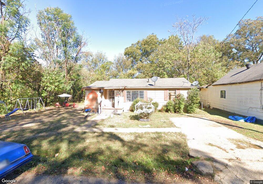
116 W Saint Andrews St Forrest City, AR 72335
Estimated Value: $51,140 - $88,000
--
Bed
1
Bath
902
Sq Ft
$75/Sq Ft
Est. Value
About This Home
This home is located at 116 W Saint Andrews St, Forrest City, AR 72335 and is currently estimated at $67,285, approximately $74 per square foot. 116 W Saint Andrews St is a home located in St. Francis County with nearby schools including Central Elementary School, Stewart Elementary School, and Forrest City Junior High School.
Ownership History
Date
Name
Owned For
Owner Type
Purchase Details
Closed on
Mar 28, 2023
Sold by
Wilson Martika
Bought by
Blunt Akisa
Current Estimated Value
Purchase Details
Closed on
Nov 21, 2022
Sold by
Vonta Inc
Bought by
Wilson Martika
Purchase Details
Closed on
May 10, 2022
Sold by
Commissioner Of State Lands
Bought by
Vonta-Llc
Purchase Details
Closed on
Feb 26, 2009
Sold by
Martisha Inc
Bought by
Vonta Llc
Purchase Details
Closed on
Mar 31, 2008
Sold by
Pointer Effie Louise
Bought by
Vonta Llc
Create a Home Valuation Report for This Property
The Home Valuation Report is an in-depth analysis detailing your home's value as well as a comparison with similar homes in the area
Home Values in the Area
Average Home Value in this Area
Purchase History
| Date | Buyer | Sale Price | Title Company |
|---|---|---|---|
| Blunt Akisa | -- | None Listed On Document | |
| Wilson Martika | $18,000 | -- | |
| Vonta-Llc | $760 | None Listed On Document | |
| Vonta Llc | -- | None Available | |
| Vonta Llc | $7,000 | -- |
Source: Public Records
Tax History Compared to Growth
Tax History
| Year | Tax Paid | Tax Assessment Tax Assessment Total Assessment is a certain percentage of the fair market value that is determined by local assessors to be the total taxable value of land and additions on the property. | Land | Improvement |
|---|---|---|---|---|
| 2024 | $114 | $2,470 | $600 | $1,870 |
| 2023 | $95 | $2,470 | $600 | $1,870 |
| 2022 | $89 | $2,470 | $600 | $1,870 |
| 2021 | $82 | $1,770 | $600 | $1,170 |
| 2020 | $82 | $1,770 | $600 | $1,170 |
| 2019 | $84 | $1,770 | $600 | $1,170 |
| 2018 | $84 | $1,770 | $600 | $1,170 |
| 2017 | $82 | $1,770 | $600 | $1,170 |
| 2016 | $109 | $2,350 | $600 | $1,750 |
| 2015 | $109 | $2,350 | $600 | $1,750 |
| 2014 | $109 | $2,350 | $600 | $1,750 |
Source: Public Records
Map
Nearby Homes
- 123 E Elise St
- 0 Day St Unit 25007493
- Rosser S Rosser St
- 618 W Day St
- 429 East St
- TBD Mcphail Dr
- 226 Oak Ave
- 21-06-3 Cullety Trustee
- 28-06 Gipson Farm
- 1553 Skyline Dr
- 0 County Rd 308 Unit 23039468
- 617 N Forrest St
- 21-06-3E Culley Farm
- 654 N Forrest St
- 105 Sue Ann Dr
- 947 Cherry St
- 1006 Hickey St
- 1110 N Division St
- 1031 Cherry St
- 1030 N Izard St
- 112 W Saint Andrews St
- 121 W Saint Andrews St
- 102 W Saint Andrews St
- 123 W Scott St
- 114 W Sharpe St
- 122 W Sharpe St
- 806 S Division St
- 0 W Scott St Unit 54747687
- 0 W Scott St Unit 43623988
- 124 W Sharpe St
- 117 W Scott St
- 113 W Scott St
- 725 S Division St
- 107 W Scott St
- 126 W Sharpe St
- 715 S Division St
- 135 W Scott St
- 139 W Scott St
- 108 E Saint Andrews St
- 128 W Sharpe St