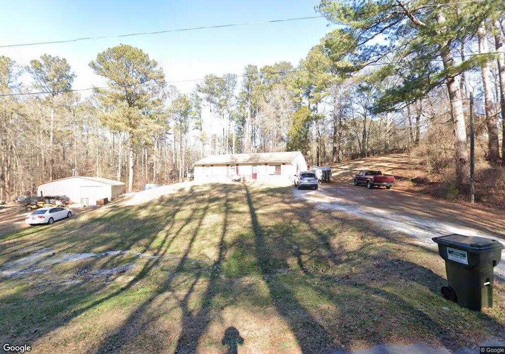
116 Walraven Cir Dallas, GA 30132
East Paulding County NeighborhoodEstimated Value: $245,000 - $337,000
3
Beds
2
Baths
1,248
Sq Ft
$236/Sq Ft
Est. Value
About This Home
This home is located at 116 Walraven Cir, Dallas, GA 30132 and is currently estimated at $294,938, approximately $236 per square foot. 116 Walraven Cir is a home located in Paulding County with nearby schools including Northside Elementary School, Lena Mae Moses Middle School, and North Paulding High School.
Ownership History
Date
Name
Owned For
Owner Type
Purchase Details
Closed on
Feb 8, 1982
Sold by
Walraven T C
Bought by
Gardner Mike
Current Estimated Value
Create a Home Valuation Report for This Property
The Home Valuation Report is an in-depth analysis detailing your home's value as well as a comparison with similar homes in the area
Home Values in the Area
Average Home Value in this Area
Purchase History
| Date | Buyer | Sale Price | Title Company |
|---|---|---|---|
| Gardner Mike | -- | -- |
Source: Public Records
Tax History Compared to Growth
Tax History
| Year | Tax Paid | Tax Assessment Tax Assessment Total Assessment is a certain percentage of the fair market value that is determined by local assessors to be the total taxable value of land and additions on the property. | Land | Improvement |
|---|---|---|---|---|
| 2024 | $2,784 | $111,920 | $32,240 | $79,680 |
| 2023 | $2,791 | $107,040 | $31,440 | $75,600 |
| 2022 | $2,472 | $94,840 | $27,360 | $67,480 |
| 2021 | $2,161 | $74,360 | $23,120 | $51,240 |
| 2020 | $2,042 | $68,760 | $23,120 | $45,640 |
| 2019 | $1,964 | $65,200 | $22,000 | $43,200 |
| 2018 | $1,504 | $49,920 | $19,680 | $30,240 |
| 2017 | $1,488 | $48,720 | $18,880 | $29,840 |
| 2016 | $1,260 | $41,680 | $17,720 | $23,960 |
| 2015 | $1,218 | $39,560 | $17,240 | $22,320 |
| 2014 | $1,131 | $35,840 | $15,600 | $20,240 |
| 2013 | -- | $36,120 | $16,960 | $19,160 |
Source: Public Records
Map
Nearby Homes
- 272 Kades Cove Dr
- 18 Mountain Ct
- 89 Dundee Crossing
- 38 Kelso Way
- 144 Aberdeen Way
- The Langford Plan at Jones Ridge
- The James Plan at Jones Ridge
- The Palmer Plan at Jones Ridge
- The Lancaster Plan at Jones Ridge
- The Ellijay Plan at Jones Ridge
- The Avery Plan at Jones Ridge
- The McGinnis Plan at Jones Ridge
- 749 Scotland Dr
- 219 Aberdeen Way
- 16 Riders Ridge
- 70 Stallion Run
- 103 Beautyberry Ln
- 74 Riders Ridge
- 439 Scotland Dr
- 50 Walraven Cir
- 369 John Walraven Rd
- 217 John Walraven Rd
- 387 John Walraven Rd
- 339 John Walraven Rd
- 309 John Walraven Rd
- 151 Walraven Cir
- 0 Lot 5a John Walraven Rd Unit 8305105
- lot 5A John Walraven Rd
- LOT 1A John Walraven Rd
- 441 John Walraven Rd
- 0 Walraven Cir
- 0 Walraven Cir Unit 8135698
- 0 Walraven Cir Unit 8941237
- 0 Walraven Cir Unit 5805633
- 195 Walraven Cir
- 243 John Walraven Rd
- 207 John Walraven Rd
- 425 Walraven Cir
- 476 John Walraven Rd