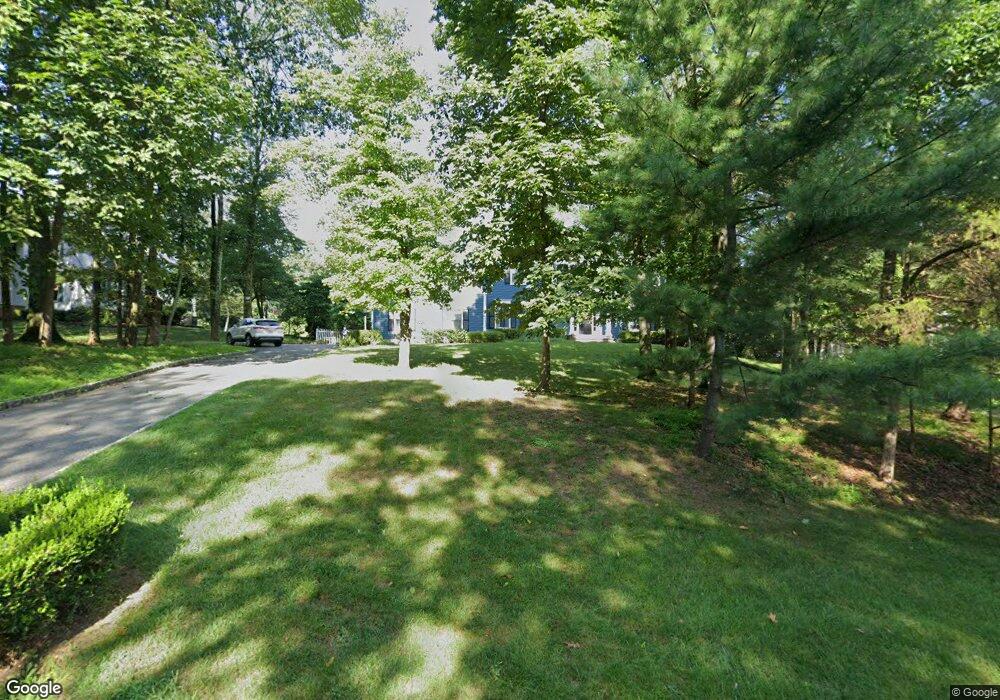
116 Wexford Way Basking Ridge, NJ 07920
Estimated Value: $1,434,833 - $1,612,000
--
Bed
--
Bath
3,184
Sq Ft
$469/Sq Ft
Est. Value
About This Home
This home is located at 116 Wexford Way, Basking Ridge, NJ 07920 and is currently estimated at $1,492,458, approximately $468 per square foot. 116 Wexford Way is a home located in Somerset County with nearby schools including Liberty Corner Elementary School, William Annin Middle School, and Ridge High School.
Ownership History
Date
Name
Owned For
Owner Type
Purchase Details
Closed on
Sep 11, 2014
Sold by
Resnick Steven M and Resnick Sharon
Bought by
Molloy Gergory and Molloy Jaime
Current Estimated Value
Home Financials for this Owner
Home Financials are based on the most recent Mortgage that was taken out on this home.
Original Mortgage
$840,000
Outstanding Balance
$642,600
Interest Rate
4.12%
Mortgage Type
New Conventional
Estimated Equity
$849,858
Purchase Details
Closed on
Jul 30, 2007
Sold by
Yeskoo Richard E and Yeskoo Georgia J
Bought by
Resnick Steven M and Resnick Sharon
Home Financials for this Owner
Home Financials are based on the most recent Mortgage that was taken out on this home.
Original Mortgage
$712,000
Interest Rate
6.5%
Mortgage Type
Purchase Money Mortgage
Create a Home Valuation Report for This Property
The Home Valuation Report is an in-depth analysis detailing your home's value as well as a comparison with similar homes in the area
Home Values in the Area
Average Home Value in this Area
Purchase History
| Date | Buyer | Sale Price | Title Company |
|---|---|---|---|
| Molloy Gergory | $1,050,000 | None Available | |
| Resnick Steven M | $890,000 | None Available |
Source: Public Records
Mortgage History
| Date | Status | Borrower | Loan Amount |
|---|---|---|---|
| Open | Molloy Gergory | $840,000 | |
| Previous Owner | Resnick Steven M | $712,000 |
Source: Public Records
Tax History Compared to Growth
Tax History
| Year | Tax Paid | Tax Assessment Tax Assessment Total Assessment is a certain percentage of the fair market value that is determined by local assessors to be the total taxable value of land and additions on the property. | Land | Improvement |
|---|---|---|---|---|
| 2025 | $20,233 | $1,240,800 | $428,600 | $812,200 |
| 2024 | $20,233 | $1,137,300 | $388,600 | $748,700 |
| 2023 | $19,982 | $1,059,500 | $388,600 | $670,900 |
| 2022 | $19,281 | $958,800 | $368,600 | $590,200 |
| 2021 | $18,496 | $876,600 | $368,600 | $508,000 |
| 2020 | $18,800 | $897,800 | $368,600 | $529,200 |
| 2019 | $19,146 | $941,300 | $387,200 | $554,100 |
| 2018 | $19,172 | $956,200 | $407,200 | $549,000 |
| 2017 | $19,186 | $964,600 | $407,200 | $557,400 |
| 2016 | $19,048 | $976,300 | $412,200 | $564,100 |
| 2015 | $18,834 | $983,000 | $412,200 | $570,800 |
| 2014 | $18,493 | $956,200 | $412,200 | $544,000 |
Source: Public Records
Map
Nearby Homes
- 247 Lyons Rd
- 12 Wayne Terrace
- 44 Manor Dr
- 12 Tamarisk Ct
- 135 Woods End Dr
- 209 Lake Rd
- 92 Whitenack Rd
- 10 Baldwin Ave
- 22 Woodward Ln
- 14 Woodward Ln
- 67 Woodward Ln
- 7 Chestnut Ct
- 234 Liberty Corner Rd
- 227 Arrowood Way
- 267 English Place
- 279 English Place
- 213 Liberty Corner Rd
- 2305 Privet Way
- 23 Hampton Ct
- 280 Alexandria Way
- 128 Wexford Way
- 104 Wexford Way
- 140 Wexford Way
- 78 Wexford Way
- 125 Wexford Way
- 54 Wexford Way
- 113 Wexford Way
- 101 Wexford Way
- 133 Wexford Way
- 152 Wexford Way
- 93 Wexford Way
- 40 Wexford Way
- 149 Wexford Way
- 21 Lincroft Dr
- 362 Grist Mill Dr
- 28 Wexford Way
- 370 Grist Mill Dr
- 354 Grist Mill Dr
- 174 Wexford Way
- 163 Wexford Way