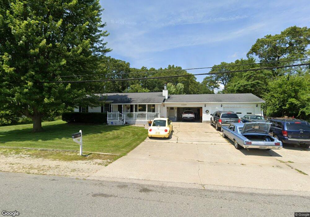
1160 Becker Rd Muskegon, MI 49445
Estimated Value: $246,000 - $285,000
3
Beds
3
Baths
1,144
Sq Ft
$236/Sq Ft
Est. Value
About This Home
This home is located at 1160 Becker Rd, Muskegon, MI 49445 and is currently estimated at $270,552, approximately $236 per square foot. 1160 Becker Rd is a home located in Muskegon County with nearby schools including Reeths-Puffer High School.
Ownership History
Date
Name
Owned For
Owner Type
Purchase Details
Closed on
Aug 15, 2008
Sold by
Wilke Nora and Wilke Donald J
Bought by
Wells Fargo Bank Na and Gsamp Trust 2004-Fm2 Mortgage Pass Throu
Current Estimated Value
Purchase Details
Closed on
Sep 18, 2003
Sold by
Wilke Nora E and Wilke Donald J
Bought by
Wilke Donald J and Wilke Nora
Home Financials for this Owner
Home Financials are based on the most recent Mortgage that was taken out on this home.
Original Mortgage
$108,800
Interest Rate
6.6%
Mortgage Type
Unknown
Create a Home Valuation Report for This Property
The Home Valuation Report is an in-depth analysis detailing your home's value as well as a comparison with similar homes in the area
Home Values in the Area
Average Home Value in this Area
Purchase History
| Date | Buyer | Sale Price | Title Company |
|---|---|---|---|
| Wells Fargo Bank Na | $109,437 | None Available | |
| Wilke Donald J | -- | Harbor Title |
Source: Public Records
Mortgage History
| Date | Status | Borrower | Loan Amount |
|---|---|---|---|
| Previous Owner | Wilke Donald J | $108,800 |
Source: Public Records
Tax History Compared to Growth
Tax History
| Year | Tax Paid | Tax Assessment Tax Assessment Total Assessment is a certain percentage of the fair market value that is determined by local assessors to be the total taxable value of land and additions on the property. | Land | Improvement |
|---|---|---|---|---|
| 2025 | $2,483 | $121,400 | $0 | $0 |
| 2024 | $743 | $112,000 | $0 | $0 |
| 2023 | $710 | $94,200 | $0 | $0 |
| 2022 | $2,267 | $82,700 | $0 | $0 |
| 2021 | $2,207 | $77,000 | $0 | $0 |
| 2020 | $2,187 | $72,300 | $0 | $0 |
| 2019 | $2,154 | $67,900 | $0 | $0 |
| 2018 | $2,115 | $67,500 | $0 | $0 |
| 2017 | $2,105 | $65,000 | $0 | $0 |
| 2016 | $606 | $58,400 | $0 | $0 |
| 2015 | -- | $54,500 | $0 | $0 |
| 2014 | -- | $53,600 | $0 | $0 |
| 2013 | -- | $50,300 | $0 | $0 |
Source: Public Records
Map
Nearby Homes
- 2060 N Roberts Rd
- 0 N Getty St
- 2021 Queens Ct
- 787 E Giles Rd
- 764 E Giles Rd
- 1925 Shady Oak Dr
- 2026 N Port Blvd
- 0 Holton Vl Rd Unit 20027438
- 1353 Holton Rd
- 1960 Nielwood Dr
- 129 Maple Ct
- V/L Reed Ave
- 1850 Mildred St
- 1699 Sycamore Dr
- V/L Holton Rd
- 2624 Holton Rd
- 2051 Russell Rd
- 2400 Russell Rd
- 2551 Hiawatha Trail
- 2635 E River Rd
- 1140 Becker Rd
- 1190 Becker Rd
- 1827 Roberts Rd
- 1112 Becker Rd
- 1826 Pappas Rd
- 1113 Becker Rd
- 1849 N Roberts Rd
- 1849 N Roberts Rd
- 1790 Roberts Rd
- 1230 Becker Rd
- 1830 Roberts Rd
- 1790 N Roberts Rd
- 1869 Roberts Rd
- 1109 Becker Rd
- 1762 N Roberts Rd
- 1762 Roberts Rd
- 1095 Becker Rd
- 1221 Wagner Ave
- 1850 Pappas Rd
- 1825 Pappas Rd