Estimated Value: $703,852 - $794,000
3
Beds
3
Baths
2,350
Sq Ft
$323/Sq Ft
Est. Value
About This Home
This home is located at 1160 Branch Road (Route 9a), Wells, ME 04090 and is currently estimated at $757,963, approximately $322 per square foot. 1160 Branch Road (Route 9a) is a home located in York County with nearby schools including Wells Elementary School, Wells Junior High School, and Wells High School.
Ownership History
Date
Name
Owned For
Owner Type
Purchase Details
Closed on
Dec 9, 2024
Sold by
Huffman Paul E and Pease Diana L
Bought by
Mgc Ret and Huffman
Current Estimated Value
Purchase Details
Closed on
Dec 16, 2014
Sold by
Harriman Mark D and Harriman Jacklyn F
Bought by
Huffman Paul E and Pease Diana L
Create a Home Valuation Report for This Property
The Home Valuation Report is an in-depth analysis detailing your home's value as well as a comparison with similar homes in the area
Home Values in the Area
Average Home Value in this Area
Purchase History
| Date | Buyer | Sale Price | Title Company |
|---|---|---|---|
| Mgc Ret | -- | None Available | |
| Mgc Ret | -- | None Available | |
| Huffman Paul E | -- | -- | |
| Huffman Paul E | -- | -- |
Source: Public Records
Tax History Compared to Growth
Tax History
| Year | Tax Paid | Tax Assessment Tax Assessment Total Assessment is a certain percentage of the fair market value that is determined by local assessors to be the total taxable value of land and additions on the property. | Land | Improvement |
|---|---|---|---|---|
| 2024 | $3,603 | $592,670 | $136,520 | $456,150 |
| 2023 | $3,532 | $592,670 | $136,520 | $456,150 |
| 2022 | $3,639 | $347,920 | $62,010 | $285,910 |
| 2021 | $3,660 | $347,920 | $56,190 | $291,730 |
| 2020 | $3,448 | $329,030 | $62,010 | $267,020 |
| 2019 | $3,824 | $367,030 | $62,010 | $305,020 |
| 2018 | $3,370 | $367,030 | $62,010 | $305,020 |
| 2017 | $3,729 | $367,030 | $62,010 | $305,020 |
| 2016 | $3,692 | $367,030 | $62,010 | $305,020 |
| 2015 | $3,259 | $327,530 | $62,010 | $265,520 |
| 2013 | $2,987 | $327,530 | $62,010 | $265,520 |
Source: Public Records
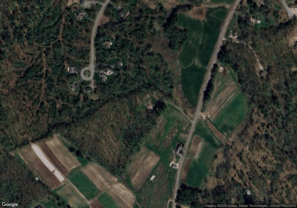
Map
Nearby Homes
- 38 Four Seasons Farm Rd Unit 2
- 1007 Branch Rd
- 00 Farm View Ln
- lot 3 Lydias Cir
- lot 5 Lydia's Cir
- lot 20 Lydias Cir
- lot 6 Lydias Cir
- lot 12 Lydia's Cir
- 15 Dragonfly Ln
- Lot #6 Meetinghouse Rd
- 222 Hobbs Farm Rd Unit Lot 10
- 557 Coles Hill Rd
- 17 Cascade Cir Unit 19
- 160 Millbrooke Farm Dr Unit 160
- 162 Millbrooke Farm Dr Unit 162
- 102 Heron Landing Dr Unit 22
- 63 Baker Rd
- 46 Baker Rd
- 40 Baker Rd
- 42 Baker Rd Unit 42
- 96 Birch Farm Way
- 1140 Branch Rd
- 72 Birch Farm Way
- 101 Birch Farm Way
- 36 Birch Farm Way
- 28 Birch Farm Way
- 57 Birch Farm Way
- 1221 Branch Rd
- 85 Spiller Farm Ln
- 6 Birch Farm Way
- 1371 Meetinghouse Rd
- 1243 Branch Rd
- 1048 Branch Rd
- 4 Birch Farm Way
- 1 Birch Farm Way
- 1380 Meetinghouse Rd
- 1299 Meetinghouse Rd
- 1346 Meetinghouse Rd
- 1255 Branch Rd
- 1030 Branch Rd