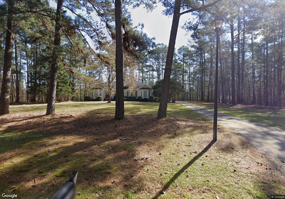
1160 Granite Cove Dr Greensboro, GA 30642
Estimated Value: $417,920 - $915,000
--
Bed
2
Baths
2,085
Sq Ft
$334/Sq Ft
Est. Value
About This Home
This home is located at 1160 Granite Cove Dr, Greensboro, GA 30642 and is currently estimated at $697,230, approximately $334 per square foot. 1160 Granite Cove Dr is a home located in Greene County with nearby schools including Greene County High School.
Ownership History
Date
Name
Owned For
Owner Type
Purchase Details
Closed on
Nov 2, 2023
Sold by
Johnson Craig S
Bought by
Johnson Family Trust Dtd 1/2023 and Johnson Craig Tr
Current Estimated Value
Purchase Details
Closed on
Oct 16, 1996
Sold by
Froemke George D and Froemke Denise
Bought by
Johnson Craig S and Johnson Hope M
Purchase Details
Closed on
Sep 29, 1994
Sold by
Hunt Mark T and Hunt Lisa L
Bought by
Froemke George D and Froemke Denise
Purchase Details
Closed on
Aug 19, 1992
Sold by
Hunt Mark T
Bought by
Hunt Mark T and Hunt Lisa L
Purchase Details
Closed on
Sep 14, 1990
Sold by
Continental Land Sales
Bought by
Hunt Mark T
Purchase Details
Closed on
Jan 1, 1988
Bought by
Continental Land Sales
Create a Home Valuation Report for This Property
The Home Valuation Report is an in-depth analysis detailing your home's value as well as a comparison with similar homes in the area
Home Values in the Area
Average Home Value in this Area
Purchase History
| Date | Buyer | Sale Price | Title Company |
|---|---|---|---|
| Johnson Family Trust Dtd 1/2023 | -- | -- | |
| Johnson Craig S | $139,500 | -- | |
| Froemke George D | $115,000 | -- | |
| Hunt Mark T | -- | -- | |
| Hunt Mark T | $24,000 | -- | |
| Continental Land Sales | -- | -- |
Source: Public Records
Tax History Compared to Growth
Tax History
| Year | Tax Paid | Tax Assessment Tax Assessment Total Assessment is a certain percentage of the fair market value that is determined by local assessors to be the total taxable value of land and additions on the property. | Land | Improvement |
|---|---|---|---|---|
| 2025 | $1,383 | $139,200 | $17,080 | $122,120 |
| 2024 | $1,457 | $127,520 | $17,080 | $110,440 |
| 2023 | $1,546 | $121,440 | $17,080 | $104,360 |
| 2022 | $1,546 | $109,880 | $17,080 | $92,800 |
| 2021 | $1,642 | $93,480 | $10,520 | $82,960 |
| 2020 | $1,675 | $75,200 | $21,600 | $53,600 |
| 2019 | $1,719 | $75,200 | $21,600 | $53,600 |
| 2018 | $1,700 | $75,200 | $21,600 | $53,600 |
| 2017 | $1,569 | $73,785 | $21,600 | $52,185 |
| 2016 | $1,594 | $75,195 | $21,600 | $53,595 |
| 2015 | $1,572 | $75,195 | $21,600 | $53,595 |
| 2014 | $1,484 | $69,055 | $21,600 | $47,455 |
Source: Public Records
Map
Nearby Homes
- 1800 Buckhead Dr
- 1991 Armour Bridge Rd
- 1430 Buckhead Dr
- 1000 Tree A Coon Place
- 1031 Hawks Bill Dr
- 1251 Lake Club Dr
- 1113 Wharfside Ct
- 1107 Wharfside Ct
- 1010 Portage Trail
- 1020 Portage Trail
- 1080 Tailwater
- 1651 Lighthouse Cir
- 1050 Tailwater
- 1050 Tailwater Unit A
- 1131 Fleur de Lac Ln
- 2660 Club Dr
- 1321 Swift Creek
- 1030 Tailwater
- 1411 Lighthouse Cir
- 1401 Lighthouse Cir
- 1120 Granite Cove Dr
- 1210 Granite Cove Dr
- 1201 Granite Cove Dr
- 1121 Granite Cove Dr
- 1240 Granite Cove Dr
- 1221 Granite Cove Dr
- 1221 Granite Cove Dr Unit 71
- 1260 Granite Cove Dr
- 1071 Granite Cove Dr
- 1070 Granite Cove Dr
- 1070 Granite Cove Dr Unit 1070 Granite Cove Dr
- 1091 Split Rock Dr
- 1151 Split Rock Dr
- 1140 Split Rock Dr
- 1945 Eagle Way
- 1010 Armour Bridge Rd
- 1300 Granite Cove Dr
- 1030 Armour Bridge Rd
- 1320 Granite Cove Dr
- 1320 Granite Cove Dr Unit 10