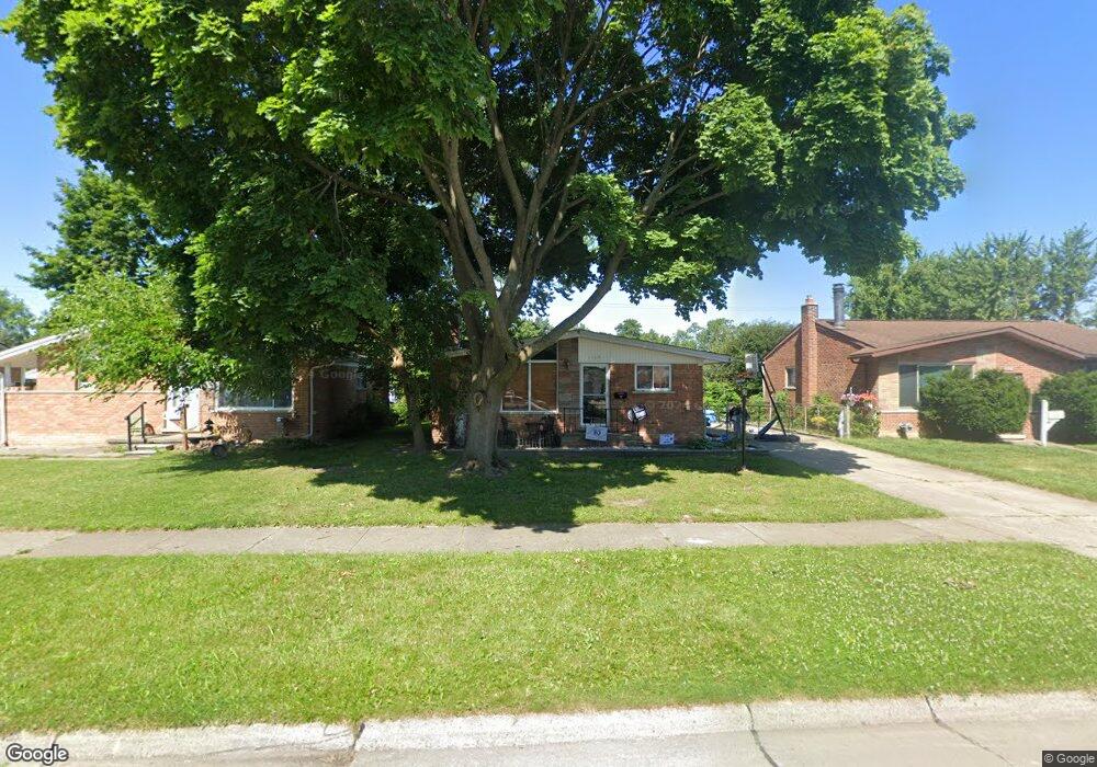
1160 Rahn St Unit Bldg-Unit Westland, MI 48186
Estimated Value: $206,000 - $227,000
--
Bed
2
Baths
981
Sq Ft
$225/Sq Ft
Est. Value
About This Home
This home is located at 1160 Rahn St Unit Bldg-Unit, Westland, MI 48186 and is currently estimated at $220,794, approximately $225 per square foot. 1160 Rahn St Unit Bldg-Unit is a home located in Wayne County with nearby schools including Alexander Hamilton Elementary School, Adams Middle School, and Benjamin Franklin Middle School.
Ownership History
Date
Name
Owned For
Owner Type
Purchase Details
Closed on
Feb 2, 2018
Sold by
Pierce Kirk
Bought by
Osborn Kyle
Current Estimated Value
Home Financials for this Owner
Home Financials are based on the most recent Mortgage that was taken out on this home.
Original Mortgage
$123,190
Outstanding Balance
$104,927
Interest Rate
4.22%
Mortgage Type
New Conventional
Estimated Equity
$115,867
Purchase Details
Closed on
Jun 20, 2012
Sold by
Boyington William E and Boyington Barbara A
Bought by
Household Finance Corporation Iii
Purchase Details
Closed on
Jun 12, 1997
Sold by
Stephen W Carter and Stephen Daisy
Bought by
Boyington Barbara A and Boyington William E
Create a Home Valuation Report for This Property
The Home Valuation Report is an in-depth analysis detailing your home's value as well as a comparison with similar homes in the area
Home Values in the Area
Average Home Value in this Area
Purchase History
| Date | Buyer | Sale Price | Title Company |
|---|---|---|---|
| Osborn Kyle | $127,000 | Title One Inc | |
| Household Finance Corporation Iii | -- | None Available | |
| Boyington Barbara A | $83,000 | -- |
Source: Public Records
Mortgage History
| Date | Status | Borrower | Loan Amount |
|---|---|---|---|
| Open | Osborn Kyle | $123,190 |
Source: Public Records
Tax History Compared to Growth
Tax History
| Year | Tax Paid | Tax Assessment Tax Assessment Total Assessment is a certain percentage of the fair market value that is determined by local assessors to be the total taxable value of land and additions on the property. | Land | Improvement |
|---|---|---|---|---|
| 2025 | $2,615 | $87,800 | $0 | $0 |
| 2024 | $2,615 | $83,000 | $0 | $0 |
| 2023 | $2,497 | $72,600 | $0 | $0 |
| 2022 | $2,900 | $64,000 | $0 | $0 |
| 2021 | $2,827 | $60,900 | $0 | $0 |
| 2020 | $2,797 | $55,800 | $0 | $0 |
| 2019 | $2,690 | $53,700 | $0 | $0 |
| 2018 | $1,382 | $47,000 | $0 | $0 |
| 2017 | $689 | $43,700 | $0 | $0 |
| 2016 | $1,782 | $43,400 | $0 | $0 |
| 2015 | $3,421 | $38,790 | $0 | $0 |
| 2013 | $3,314 | $33,900 | $0 | $0 |
| 2012 | $1,544 | $32,780 | $0 | $0 |
Source: Public Records
Map
Nearby Homes
- 1163 Denice St
- 32732 Glen St
- 0000 Barrington Ave
- 754 Alvin St
- 32508 Avondale St
- 32411 Grandview Ave
- 711 S Hawthorne St
- 34114 Avondale St
- 535 S Hubbard St
- 32154 Melton St
- 2075 Alanson St
- 32155 Melton St
- 183 Daniel Ave Unit 6
- 32111 Birchwood Ave
- 32140 Palmer Rd
- 00000 Cherry Hill Rd
- 32332 Kalamazoo Ct
- 32116 Palmer Rd
- 32025 Birchwood St
- 2017 Eastport St