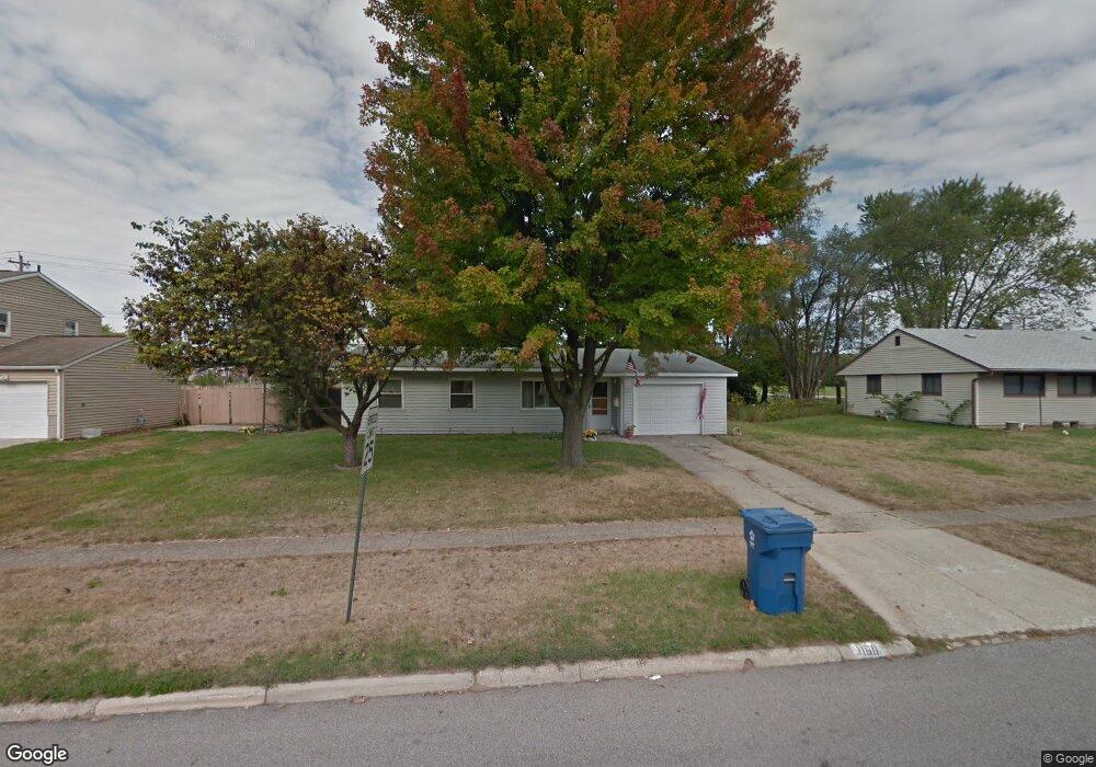
1160 Secrest Ave Columbus, OH 43207
Obetz-Lockbourne NeighborhoodEstimated Value: $184,000 - $242,000
3
Beds
2
Baths
1,229
Sq Ft
$179/Sq Ft
Est. Value
About This Home
This home is located at 1160 Secrest Ave, Columbus, OH 43207 and is currently estimated at $219,538, approximately $178 per square foot. 1160 Secrest Ave is a home located in Franklin County with nearby schools including Hamilton Elementary School, Hamilton Intermediate School, and Hamilton Middle School.
Ownership History
Date
Name
Owned For
Owner Type
Purchase Details
Closed on
Jan 30, 2001
Sold by
Bock Carol and Estate Of Annabelle B Lehman
Bought by
Keck Terry L and Keck Sheila E
Current Estimated Value
Home Financials for this Owner
Home Financials are based on the most recent Mortgage that was taken out on this home.
Original Mortgage
$85,006
Outstanding Balance
$29,447
Interest Rate
7.22%
Mortgage Type
FHA
Estimated Equity
$190,091
Purchase Details
Closed on
Dec 9, 1987
Bought by
Lehman Annabelle B
Create a Home Valuation Report for This Property
The Home Valuation Report is an in-depth analysis detailing your home's value as well as a comparison with similar homes in the area
Home Values in the Area
Average Home Value in this Area
Purchase History
| Date | Buyer | Sale Price | Title Company |
|---|---|---|---|
| Keck Terry L | $85,900 | Independent Title | |
| Lehman Annabelle B | -- | -- |
Source: Public Records
Mortgage History
| Date | Status | Borrower | Loan Amount |
|---|---|---|---|
| Open | Keck Terry L | $85,006 |
Source: Public Records
Tax History
| Year | Tax Paid | Tax Assessment Tax Assessment Total Assessment is a certain percentage of the fair market value that is determined by local assessors to be the total taxable value of land and additions on the property. | Land | Improvement |
|---|---|---|---|---|
| 2025 | $2,834 | $62,030 | $18,170 | $43,860 |
| 2024 | $2,834 | $62,030 | $18,170 | $43,860 |
| 2023 | $2,819 | $62,020 | $18,165 | $43,855 |
| 2022 | $1,805 | $33,290 | $7,110 | $26,180 |
| 2021 | $1,830 | $33,290 | $7,110 | $26,180 |
| 2020 | $1,863 | $33,290 | $7,110 | $26,180 |
| 2019 | $1,752 | $27,730 | $5,920 | $21,810 |
| 2018 | $1,749 | $27,730 | $5,920 | $21,810 |
| 2017 | $1,760 | $27,730 | $5,920 | $21,810 |
| 2016 | $1,865 | $28,840 | $6,510 | $22,330 |
| 2015 | $1,769 | $28,840 | $6,510 | $22,330 |
| 2014 | $1,760 | $28,840 | $6,510 | $22,330 |
| 2013 | $943 | $32,060 | $7,245 | $24,815 |
Source: Public Records
Map
Nearby Homes
- 4926 Meadowbrook Dr
- 1291 Webb Dr Unit Lot 90
- 5076 Ranger Dr Unit Lot 100
- 1307 Webb Dr Unit Lot 92
- 1315 Webb Dr Unit Lot 93
- 908 Tecumseh Ave
- 863 Cherrydale Ave
- 5220 Edgeview Rd
- 1132 Ayrshire Dr
- 4410 Holstein Dr
- 4436 Wesley Trail
- 1962 Reese Ave
- 1987 Reese Ave
- 4455 Catamaran Dr
- 4412 Catamaran Dr
- 2027 Reese Ave
- 4801 Obetz Reese Rd
- 4344 Brett Ln
- 4356 Monterey Ct
- 1187 Rendezvous Ln
- 1152 Secrest Ave
- 1168 Secrest Ave
- 1144 Secrest Ave
- 1159 Secrest Ave
- 1147 Secrest Ave
- 1128 Secrest Ave
- 4918 Sutherland Dr
- 1120 Secrest Ave
- 4925 Lockbourne Rd
- 4926 Sutherland Dr
- 1119 Secrest Ave
- 1112 Secrest Ave
- 4935 Lockbourne Rd
- 4921 Sutherland Dr
- 4936 Sutherland Dr
- 4929 Faron St Unit Lot 10
- 1107 Secrest Ave
- 1104 Secrest Ave
- 4945 Lockbourne Rd
- 1112 Belford Ave
Your Personal Tour Guide
Ask me questions while you tour the home.