1160 Sims Rd Winder, GA 30680
Estimated Value: $377,000 - $571,000
--
Bed
--
Bath
2,240
Sq Ft
$218/Sq Ft
Est. Value
About This Home
This home is located at 1160 Sims Rd, Winder, GA 30680 and is currently estimated at $487,768, approximately $217 per square foot. 1160 Sims Rd is a home located in Oconee County with nearby schools including Rocky Branch Elementary School, Malcom Bridge Middle School, and North Oconee High School.
Ownership History
Date
Name
Owned For
Owner Type
Purchase Details
Closed on
Nov 20, 2009
Sold by
Mcelroy Timothy H
Bought by
Mcelroy Timoghy H
Current Estimated Value
Home Financials for this Owner
Home Financials are based on the most recent Mortgage that was taken out on this home.
Original Mortgage
$184,000
Outstanding Balance
$120,022
Interest Rate
4.98%
Mortgage Type
New Conventional
Estimated Equity
$367,746
Purchase Details
Closed on
May 12, 2009
Sold by
Mcelroy Louise Sims
Bought by
Mcelroy Timothy H
Create a Home Valuation Report for This Property
The Home Valuation Report is an in-depth analysis detailing your home's value as well as a comparison with similar homes in the area
Home Values in the Area
Average Home Value in this Area
Purchase History
| Date | Buyer | Sale Price | Title Company |
|---|---|---|---|
| Mcelroy Timoghy H | -- | -- | |
| Mcelroy Timothy H | -- | -- |
Source: Public Records
Mortgage History
| Date | Status | Borrower | Loan Amount |
|---|---|---|---|
| Open | Mcelroy Timothy H | $184,000 |
Source: Public Records
Tax History Compared to Growth
Tax History
| Year | Tax Paid | Tax Assessment Tax Assessment Total Assessment is a certain percentage of the fair market value that is determined by local assessors to be the total taxable value of land and additions on the property. | Land | Improvement |
|---|---|---|---|---|
| 2024 | $3,474 | $187,929 | $58,202 | $129,727 |
| 2023 | $3,474 | $175,275 | $53,891 | $121,384 |
| 2022 | $3,156 | $149,096 | $43,113 | $105,983 |
| 2021 | $2,879 | $126,366 | $33,651 | $92,715 |
| 2020 | $2,733 | $119,882 | $32,991 | $86,891 |
| 2019 | $2,459 | $108,068 | $27,493 | $80,575 |
| 2018 | $2,401 | $103,373 | $23,907 | $79,466 |
| 2017 | $2,197 | $94,754 | $21,733 | $73,021 |
| 2016 | $2,078 | $89,722 | $18,384 | $71,338 |
| 2015 | $2,079 | $89,584 | $18,384 | $71,200 |
| 2014 | $2,032 | $85,682 | $16,712 | $68,970 |
| 2013 | -- | $81,552 | $16,234 | $65,318 |
Source: Public Records
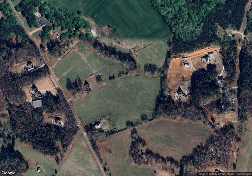
Map
Nearby Homes
- 1221 Sims Rd
- 1116 Sims Rd
- 1265 Sims Rd
- 1240 Sims Rd
- 1260 Sims Rd
- 0 Huntington Trace Unit 9019881
- 0 Huntington Trace Unit 8437890
- 0 Huntington Trace Unit 8508139
- 0 Mossy Trc
- 0 Huntington Trace Unit 8894232
- 0 Huntington Trace Unit 3274894
- 0 Huntington Trace Unit 3276783
- 0 Huntington Trace Unit 7054331
- 0 Huntington Trace Unit 7157085
- 0 Huntington Trace Unit 7251495
- 0 Huntington Trace Unit 7310052
- 0 Huntington Trace Unit 7326743
- 0 Huntington Trace Unit 7377094
- 0 Huntington Trace Unit 7459386
- 0 Huntington Trace Unit 8443905