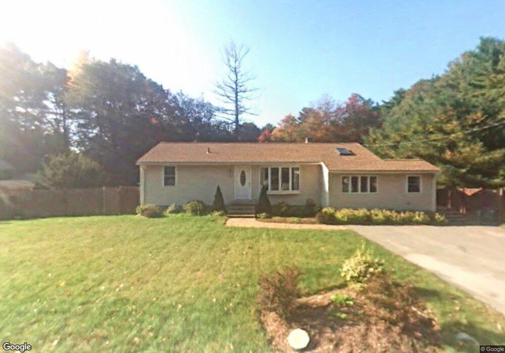
1160 South St Tewksbury, MA 01876
Estimated Value: $598,000 - $713,000
3
Beds
1
Bath
1,288
Sq Ft
$513/Sq Ft
Est. Value
About This Home
This home is located at 1160 South St, Tewksbury, MA 01876 and is currently estimated at $661,043, approximately $513 per square foot. 1160 South St is a home located in Middlesex County with nearby schools including Heath-Brook Elementary School.
Ownership History
Date
Name
Owned For
Owner Type
Purchase Details
Closed on
Jul 27, 2001
Sold by
Spalaris Nicholas and Spalaris Sandra K
Bought by
Tirrell William E and Tirrell Francine
Current Estimated Value
Home Financials for this Owner
Home Financials are based on the most recent Mortgage that was taken out on this home.
Original Mortgage
$213,150
Interest Rate
7.18%
Mortgage Type
Purchase Money Mortgage
Purchase Details
Closed on
Aug 20, 1993
Sold by
Stickney Stpehen D
Bought by
Spalaris Nicholas and Spalaris Sandra
Purchase Details
Closed on
Nov 28, 1988
Sold by
Boudreau J Wilfrede
Bought by
Stickney Stephen
Create a Home Valuation Report for This Property
The Home Valuation Report is an in-depth analysis detailing your home's value as well as a comparison with similar homes in the area
Home Values in the Area
Average Home Value in this Area
Purchase History
| Date | Buyer | Sale Price | Title Company |
|---|---|---|---|
| Tirrell William E | $252,400 | -- | |
| Spalaris Nicholas | $128,500 | -- | |
| Stickney Stephen | $135,000 | -- |
Source: Public Records
Mortgage History
| Date | Status | Borrower | Loan Amount |
|---|---|---|---|
| Open | Stickney Stephen | $228,000 | |
| Closed | Stickney Stephen | $213,150 |
Source: Public Records
Tax History Compared to Growth
Tax History
| Year | Tax Paid | Tax Assessment Tax Assessment Total Assessment is a certain percentage of the fair market value that is determined by local assessors to be the total taxable value of land and additions on the property. | Land | Improvement |
|---|---|---|---|---|
| 2025 | $6,866 | $519,400 | $270,000 | $249,400 |
| 2024 | $6,624 | $494,700 | $257,100 | $237,600 |
| 2023 | $6,524 | $462,700 | $233,900 | $228,800 |
| 2022 | $6,308 | $415,000 | $203,400 | $211,600 |
| 2021 | $5,992 | $381,200 | $184,800 | $196,400 |
| 2020 | $5,770 | $361,300 | $176,000 | $185,300 |
| 2019 | $5,644 | $356,300 | $167,600 | $188,700 |
| 2018 | $5,326 | $330,200 | $167,600 | $162,600 |
| 2017 | $5,001 | $306,600 | $167,600 | $139,000 |
| 2016 | $4,812 | $294,300 | $167,600 | $126,700 |
| 2015 | $4,534 | $277,000 | $162,600 | $114,400 |
| 2014 | $4,172 | $259,000 | $162,600 | $96,400 |
Source: Public Records
Map
Nearby Homes
- 71 Apache Way Unit 71
- 177 Apache Way Unit 177
- 22 Carleton Rd
- 93 Vale St
- 127 Caddy Ct
- 107 Eagle Dr Unit 107
- 93 Fairway Dr
- 20 Oakland Ave
- 16 Eagle Dr
- 5 Kensington Way Unit 5
- 1 Summer St
- 15 Pinewood Rd
- 32 Decarolis Dr
- 5 Oak St
- 8 McDonald Rd
- 3 Adelman Rd
- 14 Regis Rd
- 14 Hinckley Rd
- 172 Patrick Rd
- 12 Lockwood Rd