11600 Bart Dr Guthrie, OK 73044
Estimated Value: $227,000 - $332,000
3
Beds
2
Baths
1,650
Sq Ft
$163/Sq Ft
Est. Value
About This Home
This home is located at 11600 Bart Dr, Guthrie, OK 73044 and is currently estimated at $268,968, approximately $163 per square foot. 11600 Bart Dr is a home located in Logan County with nearby schools including Central Elementary School, Fogarty Elementary School, and Cotteral Elementary School.
Ownership History
Date
Name
Owned For
Owner Type
Purchase Details
Closed on
Jul 20, 2010
Sold by
Helm David E and Helm Ann Maria
Bought by
Prichard Samuel J and Prichard Heather A
Current Estimated Value
Purchase Details
Closed on
Dec 17, 2004
Sold by
Federal Home Loan Mortgage Corporation
Bought by
Helm David E
Home Financials for this Owner
Home Financials are based on the most recent Mortgage that was taken out on this home.
Original Mortgage
$28,000
Interest Rate
5.76%
Mortgage Type
New Conventional
Create a Home Valuation Report for This Property
The Home Valuation Report is an in-depth analysis detailing your home's value as well as a comparison with similar homes in the area
Purchase History
| Date | Buyer | Sale Price | Title Company |
|---|---|---|---|
| Prichard Samuel J | -- | Capitol Abstract & Title | |
| Helm David E | -- | Oklahoma Title & Closing Co |
Source: Public Records
Mortgage History
| Date | Status | Borrower | Loan Amount |
|---|---|---|---|
| Previous Owner | Helm David E | $28,000 |
Source: Public Records
Tax History
| Year | Tax Paid | Tax Assessment Tax Assessment Total Assessment is a certain percentage of the fair market value that is determined by local assessors to be the total taxable value of land and additions on the property. | Land | Improvement |
|---|---|---|---|---|
| 2025 | $1,180 | $12,332 | $1,452 | $10,880 |
| 2024 | $1,106 | $11,745 | $1,452 | $10,293 |
| 2023 | $1,106 | $11,186 | $1,452 | $9,734 |
| 2022 | $981 | $10,653 | $1,452 | $9,201 |
| 2021 | $922 | $9,946 | $1,452 | $8,494 |
| 2020 | $880 | $9,473 | $1,452 | $8,021 |
| 2019 | $895 | $9,606 | $1,452 | $8,154 |
| 2018 | $850 | $9,406 | $1,252 | $8,154 |
| 2017 | $795 | $8,958 | $593 | $8,365 |
| 2016 | $819 | $8,977 | $593 | $8,384 |
| 2014 | $679 | $8,898 | $593 | $8,305 |
| 2013 | $720 | $9,194 | $646 | $8,548 |
Source: Public Records
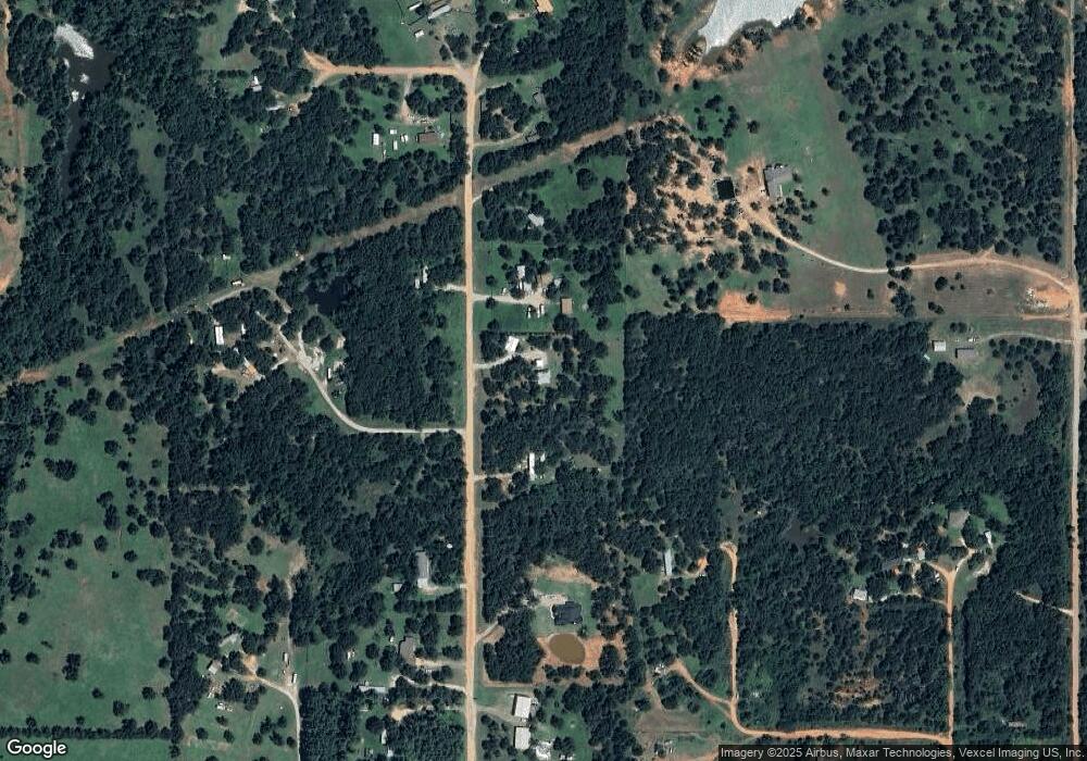
Map
Nearby Homes
- 12100 Bart Dr
- 0 Susan Cir
- 13132 Painted Sky
- 8201 Sacred Forest
- 8241 Red Feather
- 8041 Red Feather
- 8200 Red Feather
- 8180 Red Feather
- 8081 Sacred Forest
- 11500 Garden Way
- 8060 Longbow
- 8240 Spotted Fawn Ridge
- 8081 Longbow
- 12875 Hidden Trail
- 8320 Wind Talker
- 12824 Hidden Trail
- 9925 S Anderson Rd
- 8080 Silver Spur
- 12774 Hidden Trail
- 12800 Hidden Trail
- 11350 Bart Dr
- 0 Rory Ln
- 9200 Rory Ln
- 11400 Bart Dr
- 9251 Colby Ct
- 9100 Rory Ln
- 11900 Bart Dr
- 11725 S Hiwassee Rd
- 11950 Bart Dr
- 11750 Burck Dr
- 12400 Bart Dr
- 11824 Bart Dr
- 8915 E Charter Oak Rd
- 12150 Bart Dr
- 12200 Bart Dr
- 11500 S Hiwassee Rd
- 9301 Susan Cir
- 9301 Susan Cir
- 9451 E Charter Oak Rd
- 000 E Julie Way
Your Personal Tour Guide
Ask me questions while you tour the home.