11601 Sommers Rd Wright City, MO 63390
Estimated Value: $381,000 - $493,830
Studio
--
Bath
1,604
Sq Ft
$270/Sq Ft
Est. Value
About This Home
This home is located at 11601 Sommers Rd, Wright City, MO 63390 and is currently estimated at $432,958, approximately $269 per square foot. 11601 Sommers Rd is a home with nearby schools including Wright City West Elementary School, Wright City East Elementary School, and Wright City Middle School.
Ownership History
Date
Name
Owned For
Owner Type
Purchase Details
Closed on
Jan 3, 2023
Sold by
Pogrelis Dane S and Pogrelis Stephanie
Bought by
Pogrelis Benjamin and Pogrelis Whitney
Current Estimated Value
Purchase Details
Closed on
Mar 20, 2020
Sold by
Pogrelis Benjamin S and Pogrelis Whitney B
Bought by
Pogrelis Benjamin S and Pogrelis Whitney B
Home Financials for this Owner
Home Financials are based on the most recent Mortgage that was taken out on this home.
Original Mortgage
$282,500
Interest Rate
3.4%
Mortgage Type
New Conventional
Purchase Details
Closed on
May 7, 2019
Sold by
Pogrelis Scott and Pogrelis Lori
Bought by
Pogrelis Benjamin and Pogrelis Whitney
Purchase Details
Closed on
Dec 12, 2012
Sold by
Pogrelis Dane
Bought by
Beussink Stephanie
Create a Home Valuation Report for This Property
The Home Valuation Report is an in-depth analysis detailing your home's value as well as a comparison with similar homes in the area
Home Values in the Area
Average Home Value in this Area
Purchase History
| Date | Buyer | Sale Price | Title Company |
|---|---|---|---|
| Pogrelis Benjamin | -- | -- | |
| Pogrelis Benjamin S | -- | None Available | |
| Pogrelis Benjamin | -- | -- | |
| Beussink Stephanie | -- | None Available |
Source: Public Records
Mortgage History
| Date | Status | Borrower | Loan Amount |
|---|---|---|---|
| Previous Owner | Pogrelis Benjamin S | $282,500 |
Source: Public Records
Tax History
| Year | Tax Paid | Tax Assessment Tax Assessment Total Assessment is a certain percentage of the fair market value that is determined by local assessors to be the total taxable value of land and additions on the property. | Land | Improvement |
|---|---|---|---|---|
| 2025 | $3,904 | $62,205 | $4,215 | $57,990 |
| 2024 | $3,904 | $52,665 | $2,992 | $49,673 |
| 2023 | $3,225 | $52,665 | $2,992 | $49,673 |
| 2022 | $3,001 | $48,763 | $2,770 | $45,993 |
| 2021 | $3,001 | $48,763 | $2,770 | $45,993 |
| 2020 | $3,007 | $48,763 | $2,770 | $45,993 |
| 2019 | $1,909 | $48,763 | $0 | $0 |
| 2017 | $1,008 | $16,982 | $0 | $0 |
| 2016 | $1,007 | $16,982 | $0 | $0 |
| 2015 | -- | $16,982 | $0 | $0 |
Source: Public Records
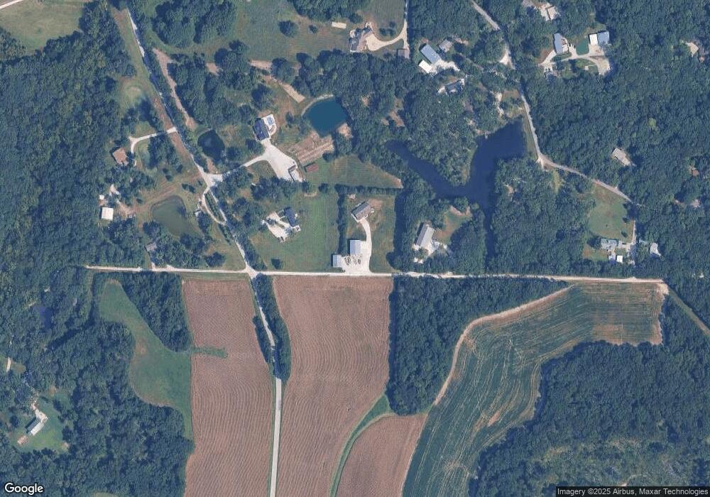
Map
Nearby Homes
- Lot 3 Stringtown Rd
- 11300 Windsor Place Dr
- 11301 Windsor Place
- 11302 Windsor Place
- 20.73 Acres Stamer Rd
- 26100 Bubbling Brook Ln
- 410 E 1st St S
- 216 Liberty Valley Dr
- 706 Celebration Dr
- 704 Celebration Dr
- 708 Celebration Dr
- 710 Celebration Dr
- 511 Founders Way
- 406 Honor Hill Dr
- 414 Honor Hill Dr
- 28905 Old Court Dr
- 5 Forest Lake Dr
- 808 Colony Ridge Ct
- 115 Liberty Valley Dr
- 117 Liberty Valley Dr
- 11564 Massman Ln
- 11606 Massman Ln
- 11610 Massman Ln
- 27853 S Stringtown Rd
- 11820 Massman Ln
- 11416 Massman Ln
- 11421 Massman Ln
- 28012 Massman Ln
- 28013 Massman Ln
- 11815 Massman Ln
- 11617 Massman Ln
- 11409 Massman Ln
- 11390 Massman Ln
- 28030 Massman Ln
- 28030 Massman Ln
- 28139 S Stringtown Rd
- 11886 Glenbrook Dr
- 28000 Glenbrook Ct
- 11999 Martin Farms Ln
- 11887 Glenbrook Dr
Your Personal Tour Guide
Ask me questions while you tour the home.