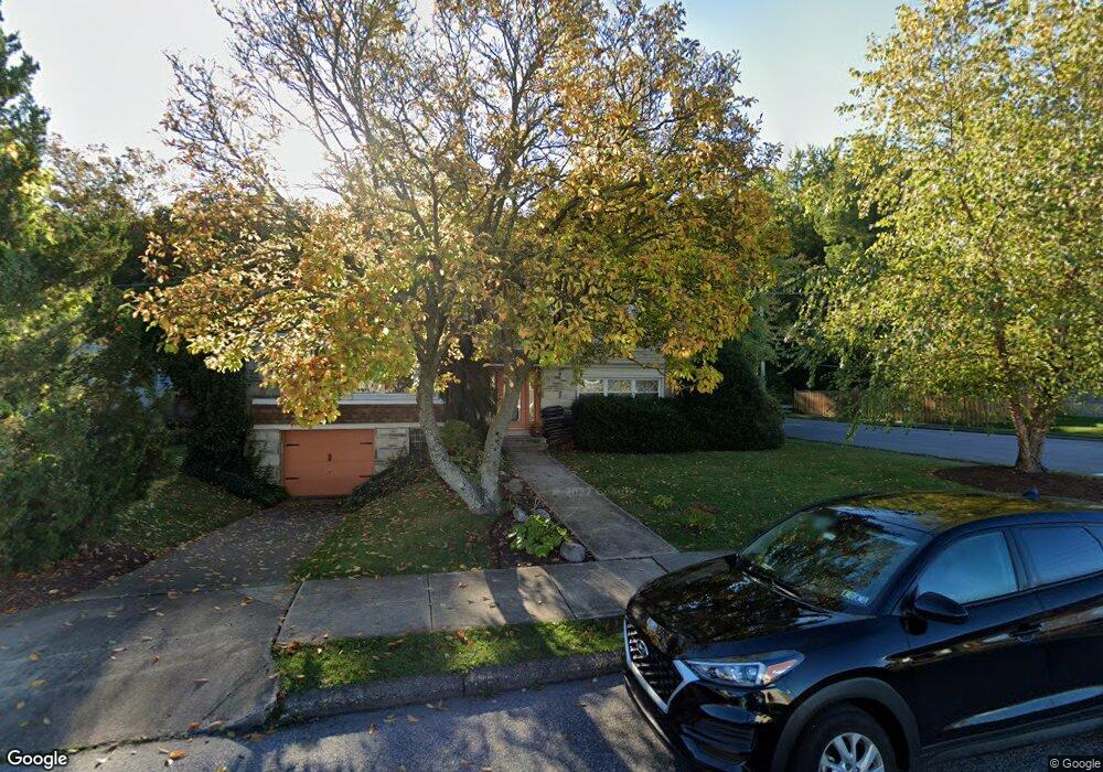
11601 Stevens Rd Philadelphia, PA 19116
Somerton NeighborhoodEstimated Value: $419,207 - $550,000
--
Bed
1
Bath
1,832
Sq Ft
$264/Sq Ft
Est. Value
About This Home
This home is located at 11601 Stevens Rd, Philadelphia, PA 19116 and is currently estimated at $482,802, approximately $263 per square foot. 11601 Stevens Rd is a home located in Philadelphia County with nearby schools including Loesche William H School, CCA Baldi Middle School, and George Washington High School.
Ownership History
Date
Name
Owned For
Owner Type
Purchase Details
Closed on
Nov 24, 2003
Sold by
Ferrell Donna M
Bought by
Penn William and Penn Carol
Current Estimated Value
Home Financials for this Owner
Home Financials are based on the most recent Mortgage that was taken out on this home.
Original Mortgage
$161,600
Outstanding Balance
$78,335
Interest Rate
6.66%
Mortgage Type
Purchase Money Mortgage
Estimated Equity
$404,467
Purchase Details
Closed on
Aug 12, 1997
Sold by
Muller Paul and Muller Marietta
Bought by
Ferrell Donna M
Create a Home Valuation Report for This Property
The Home Valuation Report is an in-depth analysis detailing your home's value as well as a comparison with similar homes in the area
Home Values in the Area
Average Home Value in this Area
Purchase History
| Date | Buyer | Sale Price | Title Company |
|---|---|---|---|
| Penn William | $252,000 | -- | |
| Ferrell Donna M | $148,000 | -- |
Source: Public Records
Mortgage History
| Date | Status | Borrower | Loan Amount |
|---|---|---|---|
| Open | Penn William | $161,600 |
Source: Public Records
Tax History Compared to Growth
Tax History
| Year | Tax Paid | Tax Assessment Tax Assessment Total Assessment is a certain percentage of the fair market value that is determined by local assessors to be the total taxable value of land and additions on the property. | Land | Improvement |
|---|---|---|---|---|
| 2025 | $5,067 | $447,300 | $89,460 | $357,840 |
| 2024 | $5,067 | $447,300 | $89,460 | $357,840 |
| 2023 | $5,067 | $362,000 | $72,400 | $289,600 |
| 2022 | $3,137 | $317,000 | $72,400 | $244,600 |
| 2021 | $4,058 | $0 | $0 | $0 |
| 2020 | $4,058 | $0 | $0 | $0 |
| 2019 | $3,886 | $0 | $0 | $0 |
| 2018 | $3,364 | $0 | $0 | $0 |
| 2017 | $3,784 | $0 | $0 | $0 |
| 2016 | $3,364 | $0 | $0 | $0 |
| 2015 | $3,220 | $0 | $0 | $0 |
| 2014 | -- | $270,300 | $122,734 | $147,566 |
| 2012 | -- | $35,392 | $10,852 | $24,540 |
Source: Public Records
Map
Nearby Homes
- 825 Delray St
- 818 Burgess St
- 813 Piermont St
- 807 Larkspur St
- 1104 Welton St
- 808 Densmore Rd
- 11003 Stevens Rd
- 11933 Stevens Rd
- 831 Lawler St
- 859 Selmer Rd
- 1724 Nathaniel Dr
- 509 Larkspur St
- 1829 Tomlinson Rd
- 10236 Selmer Terrace
- 770 Selmer Rd
- 10752 Jeanes St
- 11022 Ferndale St
- 11243 Jeanes Place
- 11715 Jeanes St
- 10236 Jeanes St
- 11603 Stevens Rd
- 11605 Stevens Rd
- 1024 Larkspur St
- 1013 Rennard St
- 11602 Stevens Rd
- 11607 Stevens Rd
- 1022 Larkspur St
- 1017 Larkspur St
- 11604 Stevens Rd
- 1011 Rennard St
- 11609 Stevens Rd
- 1015 Larkspur St
- 11606 Stevens Rd
- 11603 Barlow St
- 1020 Larkspur St
- 1009 Rennard St
- 1010 Rennard St
- 11605 Barlow St
- 11611 Stevens Rd
- 11608 Stevens Rd