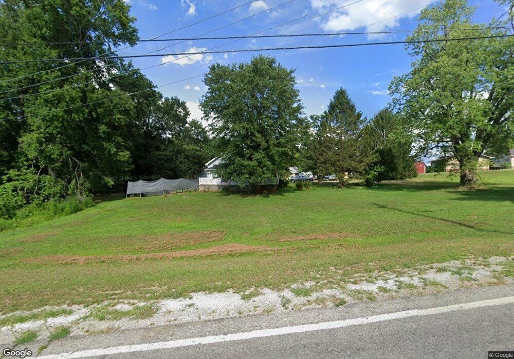
11602 State Route 335 Lucasville, OH 45648
Estimated Value: $157,000 - $253,000
3
Beds
2
Baths
1,646
Sq Ft
$126/Sq Ft
Est. Value
About This Home
This home is located at 11602 State Route 335, Lucasville, OH 45648 and is currently estimated at $207,754, approximately $126 per square foot. 11602 State Route 335 is a home located in Scioto County with nearby schools including Minford Primary Elementary School, Minford Middle School, and Minford High School.
Ownership History
Date
Name
Owned For
Owner Type
Purchase Details
Closed on
Sep 24, 2020
Sold by
Wolfe Heidi L
Bought by
Cogar Bernard C
Current Estimated Value
Home Financials for this Owner
Home Financials are based on the most recent Mortgage that was taken out on this home.
Original Mortgage
$127,645
Outstanding Balance
$113,533
Interest Rate
2.9%
Mortgage Type
FHA
Estimated Equity
$94,221
Purchase Details
Closed on
Jul 6, 2001
Bought by
Rowland Donald K
Create a Home Valuation Report for This Property
The Home Valuation Report is an in-depth analysis detailing your home's value as well as a comparison with similar homes in the area
Home Values in the Area
Average Home Value in this Area
Purchase History
| Date | Buyer | Sale Price | Title Company |
|---|---|---|---|
| Cogar Bernard C | $130,000 | None Available | |
| Rowland Donald K | $37,000 | -- |
Source: Public Records
Mortgage History
| Date | Status | Borrower | Loan Amount |
|---|---|---|---|
| Open | Cogar Bernard C | $127,645 |
Source: Public Records
Tax History Compared to Growth
Tax History
| Year | Tax Paid | Tax Assessment Tax Assessment Total Assessment is a certain percentage of the fair market value that is determined by local assessors to be the total taxable value of land and additions on the property. | Land | Improvement |
|---|---|---|---|---|
| 2024 | $2,288 | $56,040 | $6,040 | $50,000 |
| 2023 | $2,288 | $56,040 | $6,040 | $50,000 |
| 2022 | $2,273 | $56,040 | $6,040 | $50,000 |
| 2021 | $2,024 | $49,760 | $5,200 | $44,560 |
| 2020 | $2,025 | $49,760 | $5,200 | $44,560 |
| 2019 | $1,988 | $45,990 | $4,730 | $41,260 |
| 2018 | $1,882 | $45,990 | $4,730 | $41,260 |
| 2017 | $1,881 | $45,990 | $4,730 | $41,260 |
| 2016 | $1,875 | $19,040 | $4,200 | $14,840 |
| 2015 | $797 | $19,040 | $4,200 | $14,840 |
| 2013 | $707 | $19,040 | $4,200 | $14,840 |
Source: Public Records
Map
Nearby Homes
- 373 Piketon Rd
- 447 Bull Run Rd
- 6485 Millers Run Back Run Rd
- 0-5A Rice Rd
- 0-5B Rice Rd
- 0-5 Rice Rd
- 0-2C Rice Rd
- 0-2B Rice Rd
- 0-2A Rice Rd
- 311 Diane St
- 640 Rases Mountain Dr
- 21 Salem Rd
- 436 High St
- 1614 White Gravel Dewey Rd
- 4149 Piketon Rd
- 8499 Ohio 139
- 1285 Nelson Rd
- 7948 State Route 139
- 215 Ohio 335
- 2261 Glades Rd
- 11602 Ohio 335
- 11609 State Route 335
- 29 Eckhart Rd
- 11535 State Route 335
- 102 Eckhart Rd
- 11466 State Route 335
- 11466 Ohio 335
- 335 Sr
- 11820 State Route 335
- 213 Eckhart Rd
- 11463 State Route 335
- 243 Eckhart Rd
- 11350 Ohio 335
- 11350 State Route 335
- 11369 State Route 335
- 11314 State Route 335
- 11297 State Route 335
- 11297 Ohio 335
- 11941 State Route 335
- 11941 Ohio 335