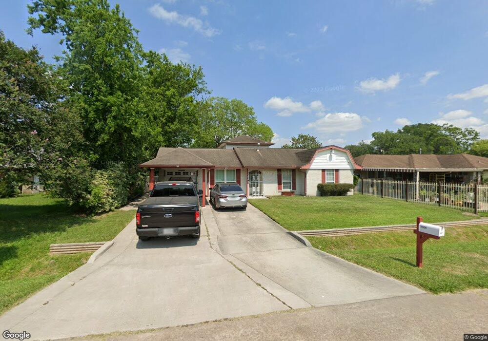
11606 Harrow St Houston, TX 77093
East Aldine NeighborhoodEstimated Value: $223,000 - $261,000
4
Beds
3
Baths
1,641
Sq Ft
$144/Sq Ft
Est. Value
About This Home
This home is located at 11606 Harrow St, Houston, TX 77093 and is currently estimated at $236,470, approximately $144 per square foot. 11606 Harrow St is a home located in Harris County with nearby schools including Vardeman EC/PK/K, Orange Grove Elementary School, and Macarthur Ninth Grade School.
Ownership History
Date
Name
Owned For
Owner Type
Purchase Details
Closed on
Oct 29, 1999
Sold by
Faulkner Marquetta L Johnson
Bought by
Johnson Hattie Maxine
Current Estimated Value
Purchase Details
Closed on
Mar 20, 1997
Sold by
Alexander Margaret L
Bought by
Mccall Herbert Earl and Johnson Hattie Maxine Clinton
Purchase Details
Closed on
Mar 17, 1997
Sold by
Royal Yolanda
Bought by
Mccall Herbert Earl and Johnson Hattie Maxine Clinton
Purchase Details
Closed on
Feb 15, 1994
Sold by
Faulkner Marquetta L
Bought by
Johnson Hattie Maxine
Create a Home Valuation Report for This Property
The Home Valuation Report is an in-depth analysis detailing your home's value as well as a comparison with similar homes in the area
Home Values in the Area
Average Home Value in this Area
Purchase History
| Date | Buyer | Sale Price | Title Company |
|---|---|---|---|
| Johnson Hattie Maxine | -- | -- | |
| Mccall Herbert Earl | -- | -- | |
| Mccall Herbert Earl | -- | -- | |
| Mccall Herbert Earl | -- | -- | |
| Johnson Hattie Maxine | -- | -- |
Source: Public Records
Tax History Compared to Growth
Tax History
| Year | Tax Paid | Tax Assessment Tax Assessment Total Assessment is a certain percentage of the fair market value that is determined by local assessors to be the total taxable value of land and additions on the property. | Land | Improvement |
|---|---|---|---|---|
| 2025 | $2,856 | $252,681 | $35,445 | $217,236 |
| 2024 | $2,856 | $276,589 | $35,445 | $241,144 |
| 2023 | $2,377 | $249,092 | $35,445 | $213,647 |
| 2022 | $3,773 | $183,504 | $12,051 | $171,453 |
| 2021 | $3,625 | $168,190 | $12,051 | $156,139 |
| 2020 | $3,530 | $162,144 | $12,051 | $150,093 |
| 2019 | $3,361 | $150,815 | $12,051 | $138,764 |
| 2018 | $1,385 | $140,094 | $12,051 | $128,043 |
| 2017 | $5,109 | $140,094 | $12,051 | $128,043 |
| 2016 | $2,322 | $140,094 | $12,051 | $128,043 |
| 2015 | $1,527 | $134,012 | $12,051 | $121,961 |
| 2014 | $1,527 | $84,680 | $12,051 | $72,629 |
Source: Public Records
Map
Nearby Homes
- 4522 Collins Rd
- 9213 Washington St
- 4007 Wedgewood St
- 11769 Gloger St
- 4415 Mooney Rd
- 11937 Connor St
- 2930 Bertrand St
- 3111 Hartwick Rd
- 2922 Bertrand St
- 11781 Eastex Fwy
- 11206 Eastex Fwy
- 3214 Brea Crest St
- 3418 Hopper Rd
- 11375 Allwood St
- 4803 Bethany Ln
- 2915 Brea Crest St
- 3804 Cedar Hill Ln
- 4410 Shelton Rd
- 2723 Castledale Dr
- 4801 Marquita Ln
- 11610 Harrow St
- 11602 Harrow St
- 4203 Foxhill St
- 11614 Harrow St
- 11607 Harrow St
- 11618 Harrow St
- 4207 Foxhill St
- 11611 Harrow St
- 11603 Harrow St
- 11615 Harrow St
- 4114 Foxhill St
- 4110 Foxhill St
- 4211 Foxhill St
- 11622 Harrow St
- 4106 Foxhill St
- 11619 Harrow St
- 4202 Foxhill St
- 4102 Foxhill St
- 11610 Northpost St
- 11614 Northpost St