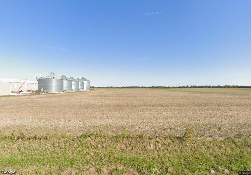
11609 Coal Mine Rd Lenzburg, IL 62255
Estimated Value: $220,000 - $436,827
--
Bed
--
Bath
1,582
Sq Ft
$196/Sq Ft
Est. Value
About This Home
This home is located at 11609 Coal Mine Rd, Lenzburg, IL 62255 and is currently estimated at $310,609, approximately $196 per square foot. 11609 Coal Mine Rd is a home located in St. Clair County with nearby schools including Marissa Elementary School and Marissa Jr & Sr High School.
Ownership History
Date
Name
Owned For
Owner Type
Purchase Details
Closed on
Aug 8, 2017
Sold by
Hundelt Steven J and Hundelt Cynthia R
Bought by
Hundelt Steven J and Steven J Hundelt Declaration Of Trust
Current Estimated Value
Purchase Details
Closed on
Jul 15, 2009
Sold by
Hundelt Arlene E
Bought by
Hundelt Arlene E
Purchase Details
Closed on
Sep 28, 2004
Sold by
Hundelt John A and Hundelt Arlene E
Bought by
Hundelt Steven J
Home Financials for this Owner
Home Financials are based on the most recent Mortgage that was taken out on this home.
Original Mortgage
$69,359
Interest Rate
5.93%
Mortgage Type
Seller Take Back
Create a Home Valuation Report for This Property
The Home Valuation Report is an in-depth analysis detailing your home's value as well as a comparison with similar homes in the area
Home Values in the Area
Average Home Value in this Area
Purchase History
| Date | Buyer | Sale Price | Title Company |
|---|---|---|---|
| Hundelt Steven J | -- | Attorney | |
| Hundelt Arlene E | -- | None Available | |
| Hundelt Steven J | $69,500 | -- | |
| Hundelt John A | -- | -- | |
| Hundelt John A | -- | -- |
Source: Public Records
Mortgage History
| Date | Status | Borrower | Loan Amount |
|---|---|---|---|
| Closed | Hundelt Steven J | $69,359 |
Source: Public Records
Tax History Compared to Growth
Tax History
| Year | Tax Paid | Tax Assessment Tax Assessment Total Assessment is a certain percentage of the fair market value that is determined by local assessors to be the total taxable value of land and additions on the property. | Land | Improvement |
|---|---|---|---|---|
| 2024 | $6,709 | $95,437 | $6,445 | $88,992 |
| 2023 | $6,957 | $96,326 | $5,944 | $90,382 |
| 2022 | $7,168 | $91,032 | $5,256 | $85,776 |
| 2021 | $7,355 | $88,268 | $4,660 | $83,608 |
| 2020 | $7,273 | $89,096 | $4,166 | $84,930 |
| 2019 | $4,833 | $60,083 | $3,660 | $56,423 |
| 2018 | $5,267 | $60,832 | $3,255 | $57,577 |
| 2017 | $5,231 | $59,699 | $2,859 | $56,840 |
| 2016 | $5,196 | $59,923 | $2,518 | $57,405 |
| 2014 | $4,619 | $57,403 | $1,927 | $55,476 |
| 2013 | $3,636 | $58,913 | $1,831 | $57,082 |
Source: Public Records
Map
Nearby Homes
- 000 Darmstadt Rd
- 2770 Washington County Line Rd
- 2430 Beckmann Rd
- 735 Buss St
- 882 Edward St
- 964 Kleefeld Ln
- 632 Wiese Ln
- 624 Hailie St
- 620 Kate Ct
- 616 Kate Ct
- 612 Kate Ct
- 644 Hailie St
- 1019 Saint Peter Ave
- 1008 Jean Marie St
- 1007 Jean Marie St
- 608 Kate Ct
- 639 Hailie St
- 627 Hailie St
- 631 Hailie St
- 652 Hailie St
- 11601 Coal Mine Rd
- 11542 New Athens Darmstadt Rd
- 11703 Coal Mine Rd
- 11530 New Athens Darmstadt Rd
- 11520 Church St
- 11516 New Athens Darmstadt Rd
- 11516 New Athens Darmstadt Rd
- 11522 Mill St
- 11512 New Athens Darmstadt Rd
- 11515 Mill St
- 11515 Mill St
- 11511 Mill St
- 11511 Mill St
- 11507 Church St
- 11508 Mill St
- 11503 New Athens Darmstadt Rd
- 11500 Church St
- 2730 Polk St
- 11518 Race St
- 11750 Coal Mine Rd
