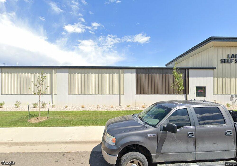
1161 Evans St Laramie, WY 82070
--
Bed
--
Bath
58,250
Sq Ft
1.13
Acres
About This Home
This home is located at 1161 Evans St, Laramie, WY 82070. 1161 Evans St is a home located in Albany County with nearby schools including Velma Linford Elementary School, Laramie Middle School, and Laramie High School.
Ownership History
Date
Name
Owned For
Owner Type
Purchase Details
Closed on
Jun 27, 2025
Sold by
Nsa Property Holdings Llc
Bought by
Fultonbsh Lrwy I Llc
Home Financials for this Owner
Home Financials are based on the most recent Mortgage that was taken out on this home.
Original Mortgage
$20,950,000
Outstanding Balance
$20,361,393
Interest Rate
6.89%
Mortgage Type
New Conventional
Purchase Details
Closed on
Nov 10, 2021
Sold by
Laramie Self Storage Group Llc
Bought by
Nsa Property Holdings Llc
Purchase Details
Closed on
Jan 10, 2017
Sold by
Block 9 Llc
Bought by
Westevans Llc
Home Financials for this Owner
Home Financials are based on the most recent Mortgage that was taken out on this home.
Original Mortgage
$429,182
Interest Rate
4.16%
Mortgage Type
Purchase Money Mortgage
Create a Home Valuation Report for This Property
The Home Valuation Report is an in-depth analysis detailing your home's value as well as a comparison with similar homes in the area
Home Values in the Area
Average Home Value in this Area
Purchase History
| Date | Buyer | Sale Price | Title Company |
|---|---|---|---|
| Fultonbsh Lrwy I Llc | -- | First American Title | |
| Nsa Property Holdings Llc | -- | Husch Blackwell Llp | |
| Westevans Llc | -- | None Available |
Source: Public Records
Mortgage History
| Date | Status | Borrower | Loan Amount |
|---|---|---|---|
| Open | Fultonbsh Lrwy I Llc | $20,950,000 | |
| Previous Owner | Westevans Llc | $429,182 |
Source: Public Records
Tax History Compared to Growth
Tax History
| Year | Tax Paid | Tax Assessment Tax Assessment Total Assessment is a certain percentage of the fair market value that is determined by local assessors to be the total taxable value of land and additions on the property. | Land | Improvement |
|---|---|---|---|---|
| 2025 | $25,427 | $331,887 | $71,627 | $260,260 |
| 2024 | $25,427 | $348,320 | $72,742 | $275,578 |
| 2023 | $27,195 | $372,535 | $98,406 | $274,129 |
| 2022 | $22,414 | $307,043 | $86,406 | $220,637 |
| 2021 | $21,397 | $293,108 | $86,406 | $206,702 |
| 2020 | $21,016 | $287,891 | $86,406 | $201,485 |
| 2019 | $17,841 | $244,400 | $86,406 | $157,994 |
Source: Public Records
Map
Nearby Homes
- 1567 Westview Ct
- 1561 Westview Ct
- 1560 Westview Ct
- 1572 Westview Ct
- 1666 Westview Dr
- 1272 W Lyon St Unit 63
- 954 N McCue St Lot 93 St
- 953 N Mccue St Unit 228
- TBD LOT 2 N Mccue St
- TBD N Mccue St
- 262 N Taylor St Unit 5
- 153 N Adams St
- 174 N Colorado Ave
- 2166 W Wyoming Ave Unit 29
- 2166 W Wyoming Ave Unit 25
- 2075 Jefferson St
- 370 S Buchanan St
- 427 S Pierce St
- TBD Snowy Range
- 165 W Fremont St