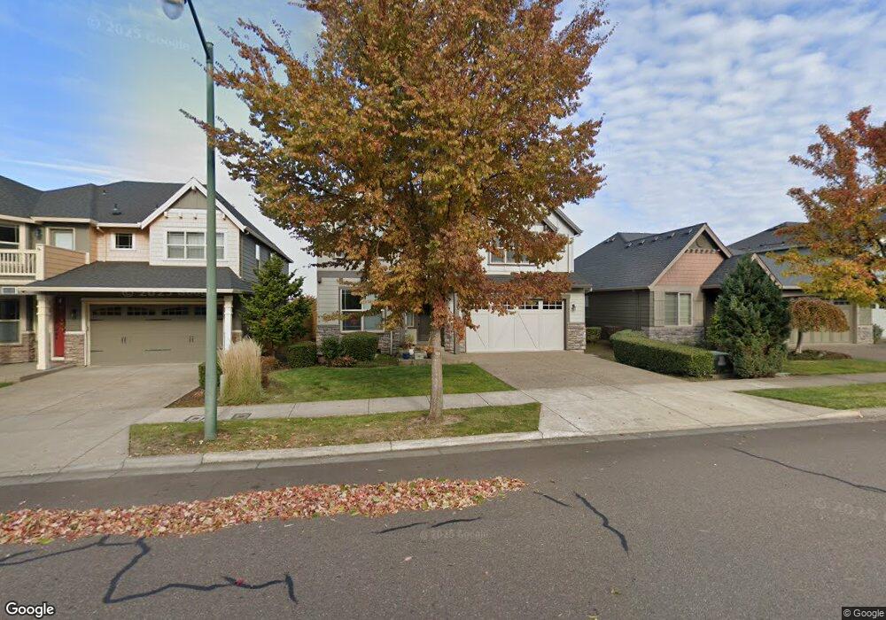
1161 Goff Rd Forest Grove, OR 97116
Estimated Value: $631,000 - $675,000
4
Beds
3
Baths
2,632
Sq Ft
$248/Sq Ft
Est. Value
About This Home
This home is located at 1161 Goff Rd, Forest Grove, OR 97116 and is currently estimated at $651,851, approximately $247 per square foot. 1161 Goff Rd is a home located in Washington County with nearby schools including Harvey Clarke Elementary School, Tom McCall Upper Elementary School, and Neil Armstrong Middle School.
Ownership History
Date
Name
Owned For
Owner Type
Purchase Details
Closed on
Feb 27, 2012
Sold by
Stone Bridge Homes Nw Llc
Bought by
Nguyenphuc Thuy C
Current Estimated Value
Home Financials for this Owner
Home Financials are based on the most recent Mortgage that was taken out on this home.
Original Mortgage
$219,920
Outstanding Balance
$149,757
Interest Rate
3.84%
Mortgage Type
New Conventional
Estimated Equity
$502,094
Create a Home Valuation Report for This Property
The Home Valuation Report is an in-depth analysis detailing your home's value as well as a comparison with similar homes in the area
Home Values in the Area
Average Home Value in this Area
Purchase History
| Date | Buyer | Sale Price | Title Company |
|---|---|---|---|
| Nguyenphuc Thuy C | $274,900 | First American |
Source: Public Records
Mortgage History
| Date | Status | Borrower | Loan Amount |
|---|---|---|---|
| Open | Nguyenphuc Thuy C | $219,920 |
Source: Public Records
Tax History Compared to Growth
Tax History
| Year | Tax Paid | Tax Assessment Tax Assessment Total Assessment is a certain percentage of the fair market value that is determined by local assessors to be the total taxable value of land and additions on the property. | Land | Improvement |
|---|---|---|---|---|
| 2026 | $7,272 | $408,340 | -- | -- |
| 2025 | $7,272 | $396,450 | -- | -- |
| 2024 | $7,015 | $384,910 | -- | -- |
| 2023 | $7,015 | $373,700 | $0 | $0 |
| 2022 | $6,134 | $373,700 | $0 | $0 |
| 2021 | $6,054 | $352,260 | $0 | $0 |
| 2020 | $6,022 | $342,000 | $0 | $0 |
| 2019 | $5,887 | $332,040 | $0 | $0 |
| 2018 | $5,707 | $322,370 | $0 | $0 |
| 2017 | $5,531 | $312,990 | $0 | $0 |
| 2016 | $5,375 | $303,880 | $0 | $0 |
| 2015 | $5,168 | $295,030 | $0 | $0 |
| 2014 | $5,143 | $286,440 | $0 | $0 |
Source: Public Records
Map
Nearby Homes
- 1222 Brookside Ave
- 1315 Begonia Ave
- 2517 Sweetwood Ct
- 1078 Vista Oaks Dr
- 1104 Magnolia Way
- 2440 Heather Way
- 1609 Camino Dr
- 1611 Camino Dr
- 1425 Willamina Ave
- 2108 D St
- 1316 19th Place
- 2341 Turnbull Ct
- 1224 Alyssum Ave
- 2327 Turnbull Ct
- 1718 23rd Ave
- 1294 19th Ave
- 922 Rosebud Ct
- 918 Rosebud Ct
- 2819 Buxton St
- 1419 19th Ave