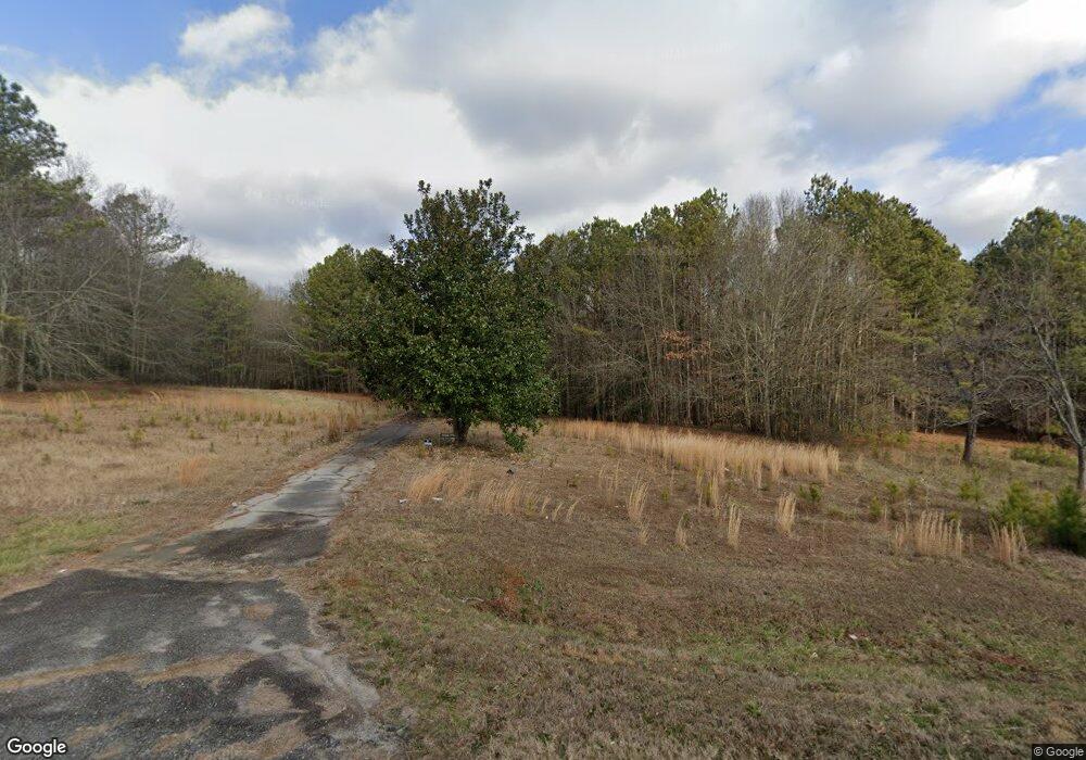
1161 Highway 138 SW Conyers, GA 30094
Estimated Value: $526,000 - $1,546,012
4
Beds
2
Baths
3,356
Sq Ft
$309/Sq Ft
Est. Value
About This Home
This home is located at 1161 Highway 138 SW, Conyers, GA 30094 and is currently estimated at $1,036,006, approximately $308 per square foot. 1161 Highway 138 SW is a home located in Rockdale County with nearby schools including Sims Elementary School, Edwards Middle School, and Rockdale County High School.
Ownership History
Date
Name
Owned For
Owner Type
Purchase Details
Closed on
Apr 11, 2013
Sold by
Kirkus Ronald H
Bought by
Kirkus Jewel Kelley and Kirkus Jewel Kelly Living Trus
Current Estimated Value
Purchase Details
Closed on
Dec 17, 2012
Sold by
Kirkus Donald J
Bought by
Kirkus Ronald H
Purchase Details
Closed on
May 23, 2012
Sold by
Kirkus Ronald H
Bought by
Kirkus Ronald H and Kirkus Donald J
Purchase Details
Closed on
Nov 13, 2007
Sold by
Kirkus Carlton
Bought by
Kirkus Larry C and Kirkus Herbert
Create a Home Valuation Report for This Property
The Home Valuation Report is an in-depth analysis detailing your home's value as well as a comparison with similar homes in the area
Home Values in the Area
Average Home Value in this Area
Purchase History
| Date | Buyer | Sale Price | Title Company |
|---|---|---|---|
| Kirkus Jewel Kelley | -- | -- | |
| Kirkus Ronald H | -- | -- | |
| Kirkus Ronald H | -- | -- | |
| Kirkus Larry C | -- | -- | |
| Kirkus Carlton H | -- | -- |
Source: Public Records
Tax History Compared to Growth
Tax History
| Year | Tax Paid | Tax Assessment Tax Assessment Total Assessment is a certain percentage of the fair market value that is determined by local assessors to be the total taxable value of land and additions on the property. | Land | Improvement |
|---|---|---|---|---|
| 2024 | $8,213 | $209,320 | $209,320 | $0 |
| 2023 | $6,407 | $158,560 | $158,560 | $0 |
| 2022 | $4,338 | $158,360 | $81,120 | $77,240 |
| 2021 | $4,425 | $158,360 | $81,120 | $77,240 |
| 2020 | $4,676 | $158,360 | $81,120 | $77,240 |
| 2019 | $4,887 | $158,360 | $81,120 | $77,240 |
| 2018 | $4,874 | $157,520 | $81,120 | $76,400 |
| 2017 | $4,629 | $148,920 | $81,120 | $67,800 |
| 2016 | $4,465 | $148,920 | $81,120 | $67,800 |
| 2015 | $4,466 | $148,920 | $81,120 | $67,800 |
| 2014 | $4,279 | $148,920 | $81,120 | $67,800 |
| 2013 | -- | $158,720 | $89,040 | $69,680 |
Source: Public Records
Map
Nearby Homes
- 660 Kirkus Dr SE
- 1870 Parker Rd SE
- Astrid Plan at Alder Park
- Harrison Plan at Alder Park
- Baker Plan at Alder Park
- Oliver Plan at Alder Park
- 2197 Boxwood Cir
- 1701 Silver Summit Dr SE
- 1000 Silver Summit Dr SE
- 1502 Silver Summit Dr SE
- 1503 Silver Summit Dr SE Unit 1503
- 0 Georgia 20 Unit 10439576
- Boston Plan at Millers Pointe
- Atlanta Plan at Millers Pointe
- Columbus Plan at Millers Pointe
- 1242 Saxony Dr SE
- 1408 Aramore Dr SE
- 1402 Aramore Dr SE
- 1911 Victoria Way Unit 117
- 2862 Flat Shoals Rd SW
- 1161 Highway 138 SW Unit O&I
- 1161 Highway 138 SW Unit C-1
- 0 NE Highway 138 Unit 10018048
- 700 Kirkus Dr SE
- 690 Kirkus Dr SE
- 0 Kirkus Dr SE Unit 3161872
- 1967 Old Parker Rd SE
- 1990 Parker Rd SE
- 1160 Highway 138 SW
- 651 Kirkus Dr SE
- 680 Kirkus Dr SE
- 1966 Old Parker Rd SE
- 670 Kirkus Dr SE
- 670 Kirkus Dr SE Unit 670 KIRKUS DR.
- 1220 Highway 138 SW
- 1944 Parker Rd SE
- 2021 Weatherstone Cir SE
- 2011 Weatherstone Cir SE
- 1240 Highway 138 SW
- 1200 Highway 138 SW