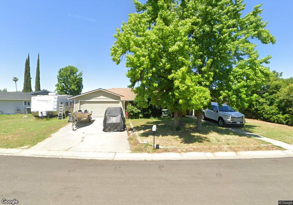
1161 Robert Dr Yuba City, CA 95993
Estimated Value: $356,000 - $403,000
3
Beds
2
Baths
1,478
Sq Ft
$262/Sq Ft
Est. Value
About This Home
This home is located at 1161 Robert Dr, Yuba City, CA 95993 and is currently estimated at $386,758, approximately $261 per square foot. 1161 Robert Dr is a home located in Sutter County with nearby schools including Lincoln Elementary School, Yuba City High School, and St. Isidore Catholic School.
Ownership History
Date
Name
Owned For
Owner Type
Purchase Details
Closed on
Oct 6, 2022
Sold by
Laird Michael Roy
Bought by
Laird And Allen Living Trust
Current Estimated Value
Purchase Details
Closed on
Jan 20, 2006
Sold by
Laird Michael Roy
Bought by
Laird Michael Roy and The Michael Roy Laird Living Trust
Home Financials for this Owner
Home Financials are based on the most recent Mortgage that was taken out on this home.
Original Mortgage
$154,000
Interest Rate
6.32%
Mortgage Type
New Conventional
Purchase Details
Closed on
Oct 27, 2001
Sold by
Laird Michael Roy
Bought by
The Michael Roy Laird Living Trust
Purchase Details
Closed on
Jun 22, 2001
Sold by
Banga Satinder Takhar and Banga Pardeep
Bought by
Laird Michael Roy
Home Financials for this Owner
Home Financials are based on the most recent Mortgage that was taken out on this home.
Original Mortgage
$103,960
Interest Rate
7.24%
Create a Home Valuation Report for This Property
The Home Valuation Report is an in-depth analysis detailing your home's value as well as a comparison with similar homes in the area
Purchase History
| Date | Buyer | Sale Price | Title Company |
|---|---|---|---|
| Laird And Allen Living Trust | -- | -- | |
| Laird Michael Roy | -- | -- | |
| Laird Michael Roy | -- | Financial Title Company | |
| The Michael Roy Laird Living Trust | -- | -- | |
| Laird Michael Roy | $130,000 | Placer Title Company |
Source: Public Records
Mortgage History
| Date | Status | Borrower | Loan Amount |
|---|---|---|---|
| Previous Owner | Laird Michael Roy | $154,000 | |
| Previous Owner | Laird Michael Roy | $103,960 |
Source: Public Records
Tax History
| Year | Tax Paid | Tax Assessment Tax Assessment Total Assessment is a certain percentage of the fair market value that is determined by local assessors to be the total taxable value of land and additions on the property. | Land | Improvement |
|---|---|---|---|---|
| 2025 | $2,162 | $191,948 | $54,645 | $137,303 |
| 2024 | $2,162 | $188,185 | $53,574 | $134,611 |
| 2023 | $2,162 | $184,496 | $52,524 | $131,972 |
| 2022 | $2,093 | $180,880 | $51,495 | $129,385 |
| 2021 | $2,070 | $177,357 | $50,498 | $126,859 |
| 2020 | $2,034 | $175,539 | $49,980 | $125,559 |
| 2019 | $1,990 | $172,096 | $49,000 | $123,096 |
| 2018 | $1,961 | $168,722 | $48,039 | $120,683 |
| 2017 | $1,913 | $165,413 | $47,097 | $118,316 |
| 2016 | $1,876 | $162,170 | $46,174 | $115,996 |
Source: Public Records
Map
Nearby Homes
- 1528 Rancho Way
- 1559 Rushing St
- 948 Woodridge Ct
- 1661 Chelsea Place
- 908 Mesa Verde
- 1315 Starlite Ln
- 1685 Augusta Ln
- 1740 Edwin Dr
- 1716 Wingfoot Dr
- 1474 Smith Rd
- 1222 Hillcrest Ave
- 1558 Sheena Ct
- 1224 Highland Ave
- 1909 Brianna Way
- 998 Mariposa Dr
- 930 Jones Rd
- 1744 Franquette Dr
- 1525 Bogue Rd
- 1515 Jodi Dr
- 1180 Sanborn Rd
Your Personal Tour Guide
Ask me questions while you tour the home.