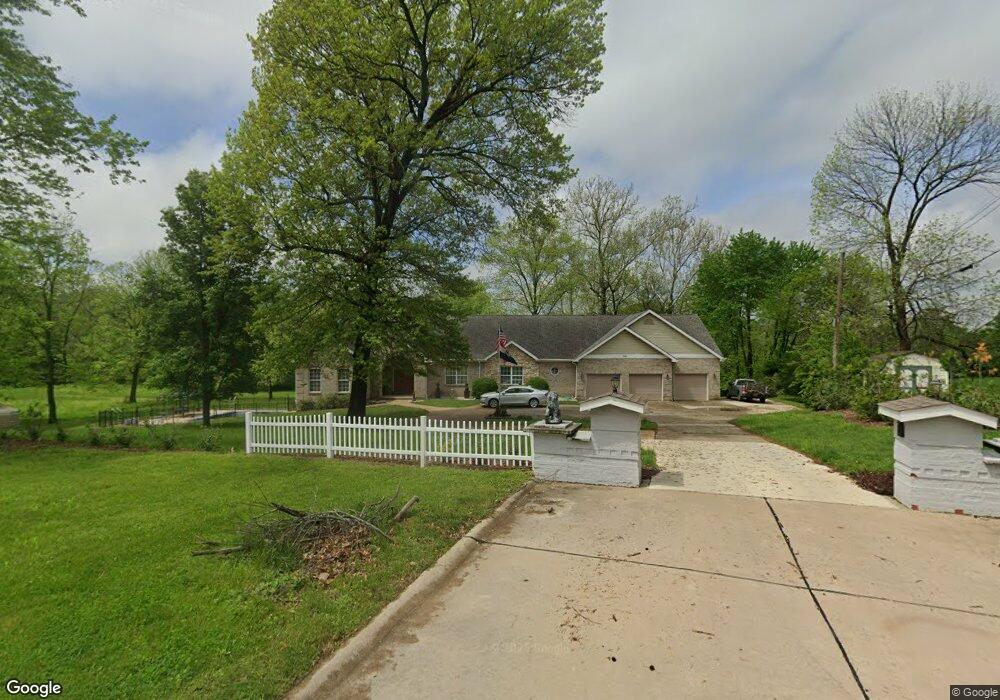
11610 Mack Ave Maryland Heights, MO 63043
Estimated Value: $433,000 - $812,877
4
Beds
4
Baths
2,974
Sq Ft
$186/Sq Ft
Est. Value
About This Home
This home is located at 11610 Mack Ave, Maryland Heights, MO 63043 and is currently estimated at $552,969, approximately $185 per square foot. 11610 Mack Ave is a home located in St. Louis County with nearby schools including Parkwood Elementary, Pattonville Heights Middle School, and Pattonville High School.
Ownership History
Date
Name
Owned For
Owner Type
Purchase Details
Closed on
Nov 9, 2023
Sold by
Nichols Robert K and Nichols Mary F
Bought by
Robert K Nichols And Mary Fontana Nichols Joi and Nichols
Current Estimated Value
Purchase Details
Closed on
Sep 27, 2002
Sold by
Nichols Robert K and Nichols Mary F
Bought by
Nichols Robert K and Nichols Mary F
Purchase Details
Closed on
Jan 14, 2000
Sold by
Nichols Robert K and Nichols Mary Fontana
Bought by
Nichols Robert K and Nichols Mary Fontana
Create a Home Valuation Report for This Property
The Home Valuation Report is an in-depth analysis detailing your home's value as well as a comparison with similar homes in the area
Home Values in the Area
Average Home Value in this Area
Purchase History
| Date | Buyer | Sale Price | Title Company |
|---|---|---|---|
| Robert K Nichols And Mary Fontana Nichols Joi | -- | None Listed On Document | |
| Nichols Robert K | -- | -- | |
| Nichols Robert K | -- | -- |
Source: Public Records
Tax History Compared to Growth
Tax History
| Year | Tax Paid | Tax Assessment Tax Assessment Total Assessment is a certain percentage of the fair market value that is determined by local assessors to be the total taxable value of land and additions on the property. | Land | Improvement |
|---|---|---|---|---|
| 2025 | $7,867 | $104,120 | $38,340 | $65,780 |
| 2024 | $7,867 | $104,120 | $30,130 | $73,990 |
| 2023 | $7,909 | $104,120 | $30,130 | $73,990 |
| 2022 | $7,879 | $94,680 | $35,630 | $59,050 |
| 2021 | $7,959 | $94,680 | $35,630 | $59,050 |
| 2020 | $6,833 | $82,070 | $24,040 | $58,030 |
| 2019 | $6,809 | $82,070 | $24,040 | $58,030 |
| 2018 | $5,686 | $62,700 | $13,280 | $49,420 |
| 2017 | $5,678 | $62,700 | $13,280 | $49,420 |
| 2016 | $5,782 | $68,210 | $17,120 | $51,090 |
| 2015 | $6,217 | $68,210 | $17,120 | $51,090 |
| 2014 | $5,373 | $59,830 | $9,900 | $49,930 |
Source: Public Records
Map
Nearby Homes
- 2727 Edgeworth Ave
- 11502 Wylwood Dr
- 2801 Eldon Ave
- 2755 Eldon Ave
- 11482 Essex Ave
- 20 Millwell Dr
- 11342 de Runtz Ave
- 2826 Foxwood Dr
- 11410 Essex Ave
- 134 Cumberland Ave
- 19 Shumate Ave
- 16 Midland Ave
- 11848 Foxwood Dr
- 12597 Fee Rd
- 167 Edgeworth Ave
- 3107 Garnette Dr Unit C12
- 3107 Garnette Dr Unit A7
- 3108 Edwards Place Unit 201
- 3114 Edwards Place Unit 304
- 316 Harding Ave
- 2859 Broadview Ave
- 11650 Hedda Ave
- 11628 Hedda Ave
- 2855 Broadview Ave
- 11654 Hedda Ave
- 11603 Mack Ave
- 2851 Broadview Ave
- 11604 Hedda Ave
- 2847 Broadview Ave
- 11527 Mack Ave
- 2858 Broadview Ave
- 2854 Broadview Ave
- 11544 Hedda Ave
- 11643 Hedda Ave
- 2850 Broadview Ave
- 2917 Broadview Ave
- 11542 Wylwood Dr
- 2903 Daley Ave
- 11528 Mack Ave
- 2736 Edgeworth Ave Unit A